In chapter 11 of the Book of Judges we are introduced to Jephthah. He is the bastard son of Gilead and gets forced into exile because his legitimate brothers will not share their inheritance with him. While in exile, he is exhorted to lead Israel’s armies against the Ammonites.
Before the fateful battle, Jephthah prays to God for assistance. In return he vows to make a burnt offering of the first person to emerge from his house. God delivers a victory for Israel and when Jephthah returns home his only daughter is the first person that comes out to meet him. Awkward. Being a man of his word, he made an offering out of her.
In the twelfth chapter, the Ephramites threaten to burn Jephthah’s house down. Not because he killed his daughter, but because he fought the Ammonites without asking their help first. Jephthah goes to war with the Ephramites and routs them. As the Ephramites attempt to flee over the river, the Gileadites make everyone who tries to cross pronounce the word “shibboleth”. Because of linguistic differences, Ephramites pronounced the word as “sibboleth” making it easy to know which ones to allow to cross the river and which ones to kill. 42000 Ephramites died, so the method was coldly efficient.
Anyway, that story is where we get the word “shibboleth” which is any word or phrase that can be used to distinguish between in-groups and out-groups. One common shibboleth is in the way place names are pronounced. People local to an area will know the pronunciations, but tourists or recent arrivals will get tripped up and mark themselves as part of the out-group.
Living in Las Vegas, the most common shibboleth was the pronunciation of the state name. Locals would say it correctly as “ne-VADD-uh”. People whose sole purpose in life was to crawl into casinos and empty their wallets so we could avoid paying state income taxes would pronounce it “ne-VODD-uh” or some other appalling way.
Massachusetts was full of geographical shibboleths. This happens when the place names are a melange of American English, British English, and Native American words. Then each word gets filtered through a heavy Bawstin accent. This is how you wind up with Worcester pronounced “WOO-stah” or Cochituate as “co-KIT-chew-it”.
Like those states, Texas also has shibboleths. I dare anyone to say Pedernales correctly the first time you see it. One big one in Austin guaranteed to trip you up within your first month of moving here is Manor. Pronounced “MAY-ner”. Manor is a suburb east of Austin where a host of commuters live.
Okay, I’m going somewhere with this meandering introduction. Manor is important to this post because there is an Austin To Manor bike trail that runs five miles and terminates at Johnny Morris Road in east Austin. Just on the other side of the street from the end of that trail is the northern end of the Southern Walnut Creek Trail. I did the Northern Walnut Creek Trail earlier this spring, so it was only a matter of time before I grabbed the 25 pound backpack and attacked this one too.
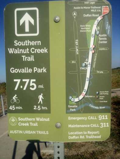
First things first, this trail was very wide and well kept. It definitely functions chiefly as a bike trail with hiking being a second priority. The entire thing was paved with almost no potholes or visible cracks or anything. Every section had lots of signs about upcoming curves and reminders to slow down in hilly sections. I enjoyed it as a hiker, but I feel like if I was a biker this would be my favorite trail by a wide margin. Oh, and there were lots of trees and shade. This was great because Austin is currently in the grips of a seemingly never ending run of consecutive 100 degree days in August.
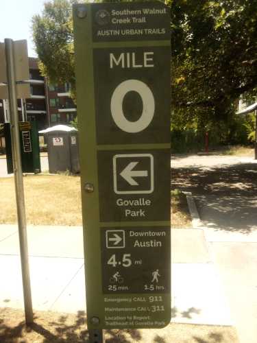
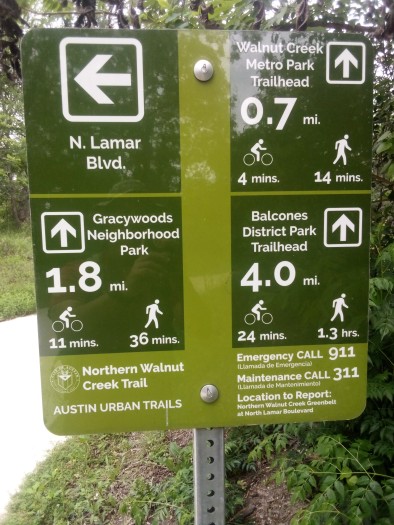
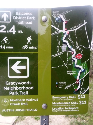
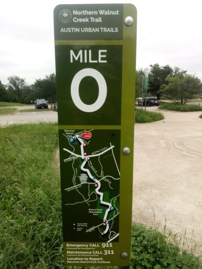
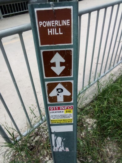
Second thing second, you’ll notice that the sign is showing the miles to the end of the trail instead of beginning at mile zero. Mile zero is on the southern end closer to downtown. I started on my less preferred end for two significant reasons.
One, the northern end is difficult as fuck to get to using public transit. I had to take two buses and then hoof it almost two miles to reach the start point. Conversely, the opposite end was only about a quarter mile from a bus stop. I figured it would be better to inconvenience myself at the beginning of the day before it got too hot than to walk the entire trail and then have an hour of walking to look forward to.
Two, doing it this way allowed me to go somewhere exciting close to the mile zero marker. Sort of like the pot of gold at the end of the rainbow. I’ll leave exactly what that place was until the end of this post.
One of the more interesting sights along the first couple of miles was this painted bench.

I’d like to say, for the record, that whoever painted this bench never saw my face. If they had they would never say it was better than any view. In all fairness though, I guess I need to share the view from this bench before I can say it is definitely better than my visage.
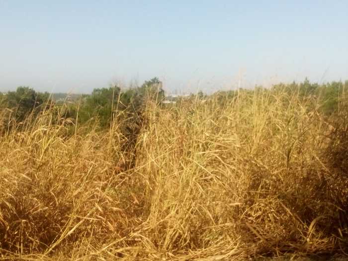
You can make out a faint view of downtown beyond the green trees. If you can get past the mountain of tall, brown, dead and dying grass. In addition to being 100 degrees every day in August, water has been in short supply. The airport has seen a grand total of 0.02 inches of rain this month. Most every living thing in town is either slowly dying outside or complaining inside in their underwear sitting next to the air conditioner.
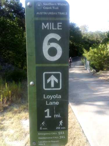
The trail meanders along for a few miles and then runs along beside Harvey Penick Golf Campus. In addition to a nine hole golf course, they also host a footgolf course. Footgolf is pretty much what you think it is. You kick a soccer ball around a golf course until you kick it into an oversized hole. Fewest kicks wins.

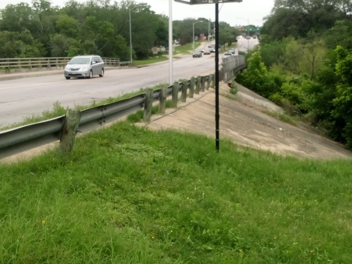
At least you could see some green grass on the golf course. Check out this bridge over Walnut Creek that showed how low the water level was.
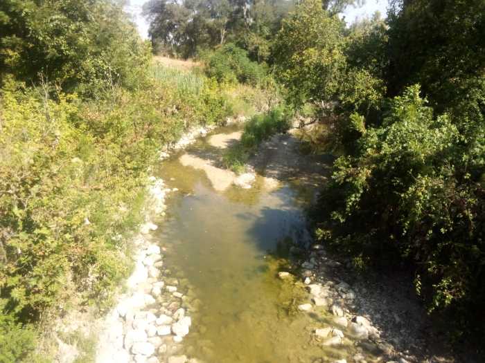
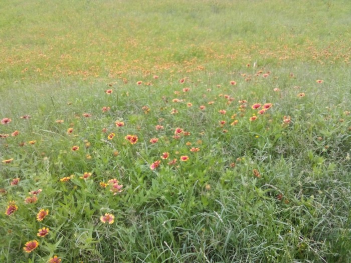
Not to belabor the dryness in Texas right now, but I’m going to do just that. The Ross fire continues to rage west of the Metroplex. Honestly, as bad as conditions are it could have happened anywhere in the Lone Star State. I passed a “wildflower meadow” in name only.
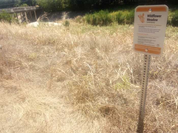
If nature’s first green is gold, then her last green is brown. With apologies to Robert Frost, I’d like to wax poetic about summertime in Austin.
Nature’s last green is brown, once you notice it gets you down.
As temperatures climb ever higher, everything might catch fire.
This recap might make it seem like I was depressed the entire trip, but that would be far from the case. Truth is, Austin always gets hot and dry in the summer. It’s not as bad as Lake Powell or anything, so we’ll be just fine. Fingers crossed.
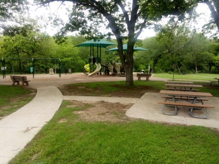
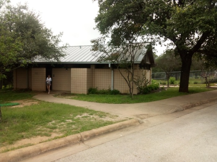
Nothing much eventful happened until I reached the southern end of the trail at Govalle (pronounced “go-VAL-ee”) Neighborhood Park. Remember when I said earlier that this trail catered to bike riders? Once I got to Govalle Park I realized that there were no bathrooms or water fountains anywhere along the main trail. Fortunately the park had nice restrooms and water fountains with faucets for filling water bottles.
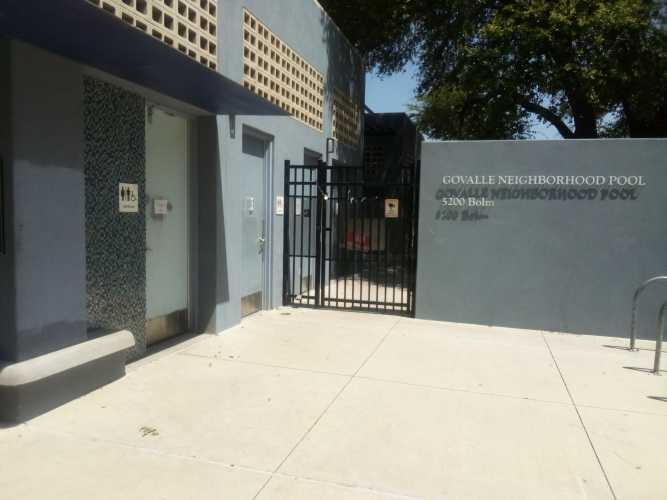

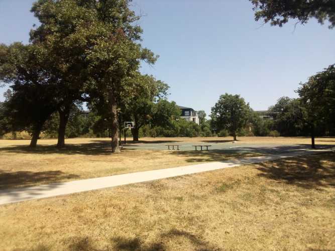
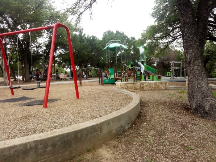
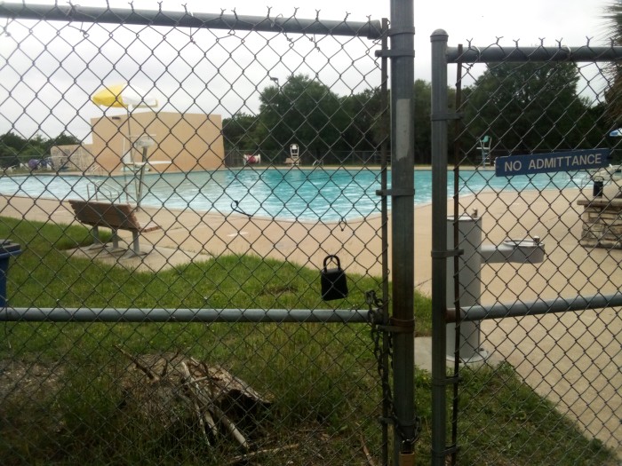
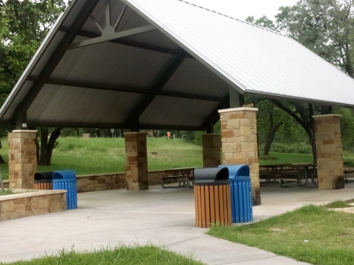
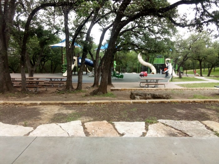
I took a few other pictures at Govalle Park, so I might as well show them off here.
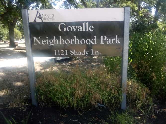
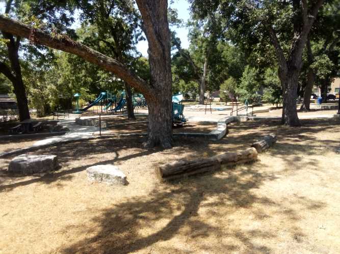
After milling around in the park for a while, it was time to go check out that sweet mile zero marker and bring this hike to an end.
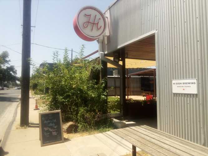
But, of course, this was not really the conclusion because I promised a pot of gold at the end of this rainbow. I walked about half a mile down Shady Lane from the park and found my destination, Hi Sign Brewing.
I had to try their Millie Brown Ale, an American brown, and got a cool cup of delicious ice water to stay hydrated.
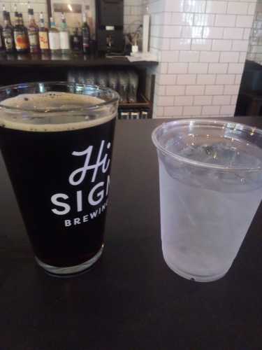
After that, it was time for a Shamus Irish Red.
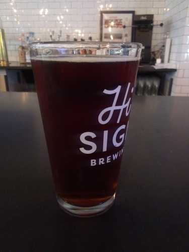
Both beers were refreshing but, truth be told, the service was less than desirable. Despite being one of only two people at the bar I had to stare daggers into the bartender before she would stop doomscrolling and come over and assist me. I get it, I’m hideously ugly. But does that mean I’m not entitled to good service? I am not an animal!
After the second beer it really was time for my journey to end. I don’t really have a closing statement here, so that’s it. Drive home safe.
 Gene Hikes the Appalachian Trail