Category: trail-review

Reviews of the trails I’ve walked during my preparation for the Trail.

  • Brushy Creek Trail

    I actually left the safe environs of Austin to travel all the way up to Cedar Park in order to check out Brushy Creek Trail. It turned into quite an adventure on an amazing trail surrounded by some amazing parks with tons of things to do and see. But I’m getting a little ahead of myself.
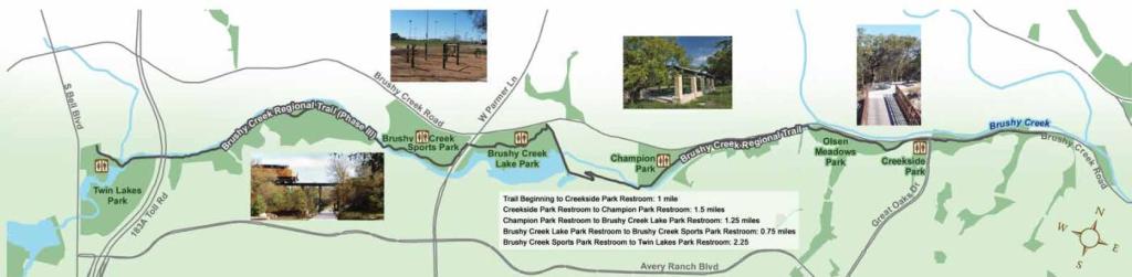
    The western terminus of the Brushy Creek Trail is located at a trailhead near Twin Lakes Family YMCA in Cedar Park. Cedar Park is a suburb about 15 miles northwest of downtown Austin. Probably the two things Cedar Park are most known for are H-E-B Center, home of the Austin Spurs and Texas Stars, and the never-ending drama surrounding their city flag.

    In 2016 Cedar Park pretended to be a real city and designed a flag of their very own. After a lot of to-do and hubbub they released one that was met with annoyance and derision. So they took it down and never bothered to create a new one. Almost ten years and counting at this point.

    Twin Lakes Family YMCA is a big deal destination with a million and one things to do. Especially on a hot summer’s day. This is a common trend along the Brushy Creek Trail. Almost everywhere along the trail there was always something else fun you could be doing instead. Check out all these options available at the Y.
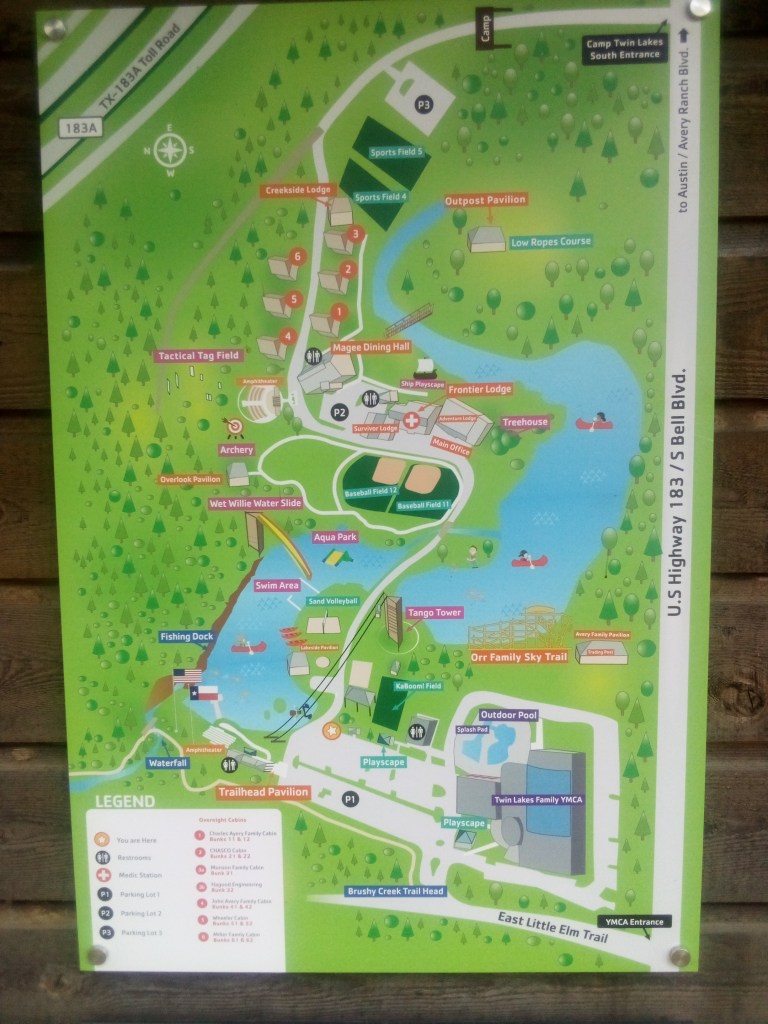
    The happiest place on Earth. Click to enlarge.

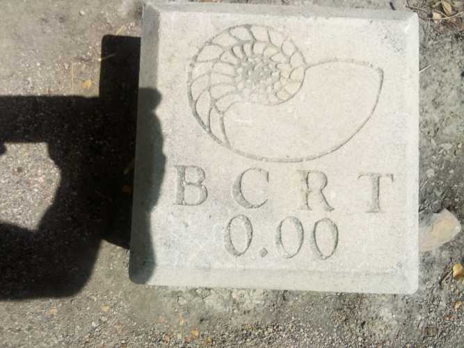
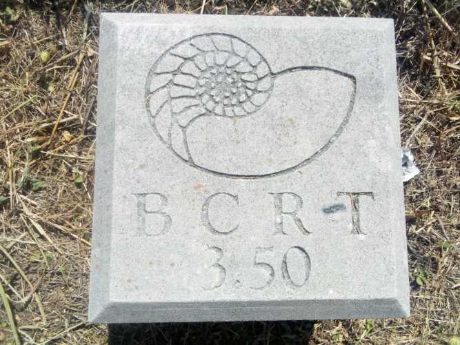
    Fishing, water slides, pools, play areas. Sky Trail. I honestly didn’t want to leave the Y to even get started with the hike. Filled with sadness, I did make my way to the mile zero marker. All along this trail there are stone markers buried in the ground at 1/4 mile intervals, beginning with the first one.
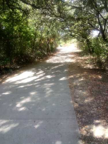
    Immediately after leaving the Y, the trail meandered along following the creek. For about the first two miles there was not much but loads of trees and plants. They did have these “animal tracks” stamped into the concrete on the trail, which looked aesthetically pleasing.
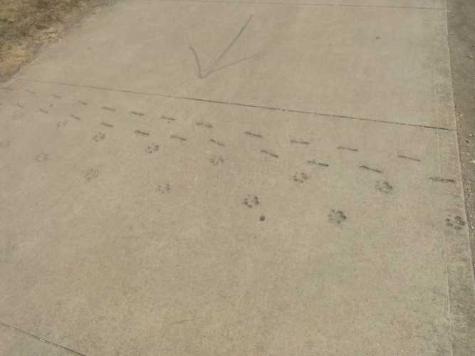
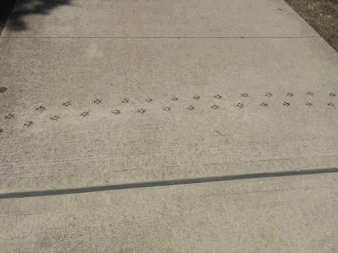
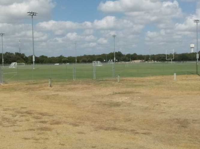
    One tremendous thing about this trail is how clearly and carefully it was laid out. After two miles I came across Brushy Creek Sports Park. Pretty much the entire trail from there to the eastern end ran alongside or through a park of some kind. This was the secret to why it felt like there was always something to do; there was always something to do.

    Brushy Creek Sports Park was exactly what it sounded like. A park with lots of sports. Sports, sports, sports.

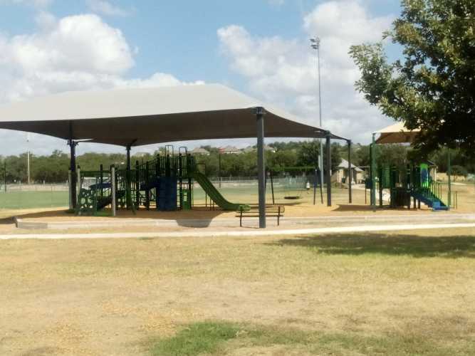
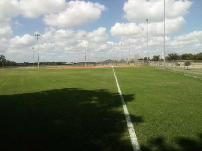
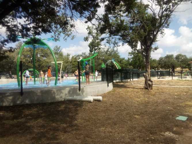
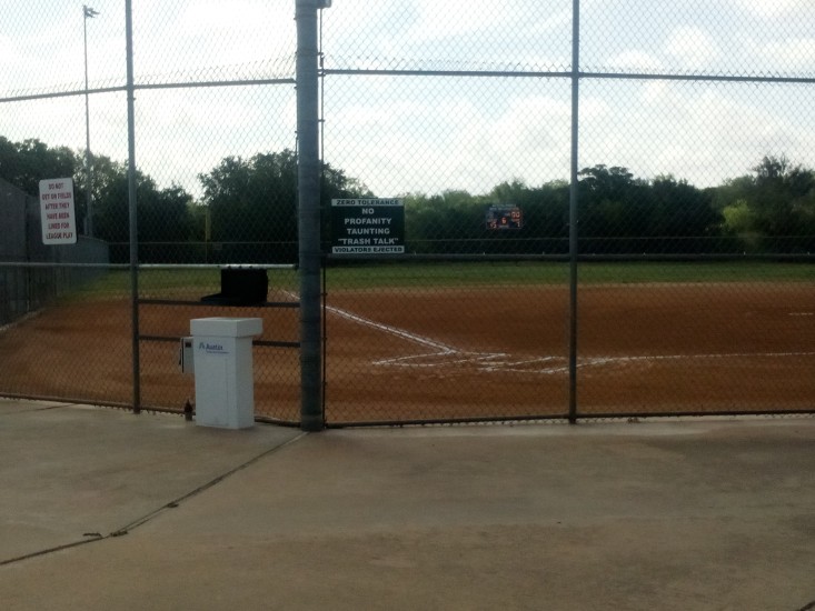
    They had softball / baseball fields, football / soccer fields, and play areas for kids.
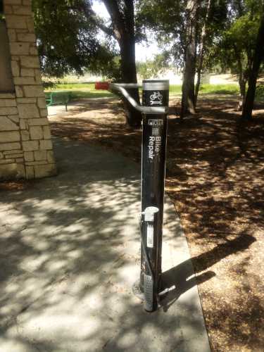
    That final picture is obviously of a bike repair station. A great accessory since there were tons of bikers using the trail the day I was. This would be as good a time as any to talk about how well Brushy Creek Trail lets bikers and hikers co-exist. Most of the trail was paved but there were lots of unpaved paths as well. And a lot of unpaved trails running parallel to paved trails specifically for bikers to use. It really felt like the trail was not geared toward either bikers or hikers, but actually a shared experience for both. What an idea!

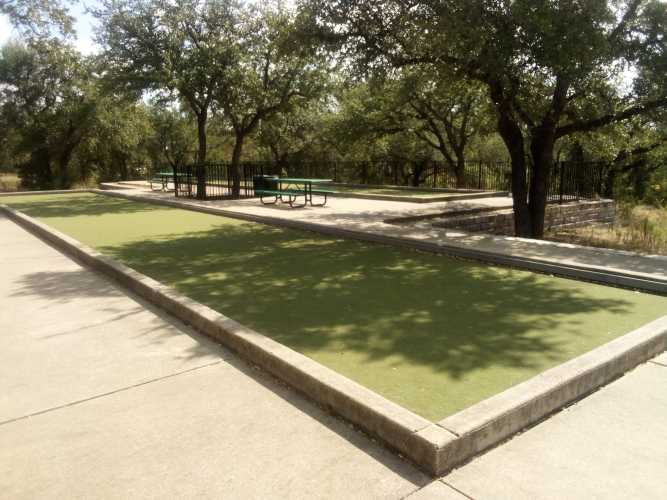
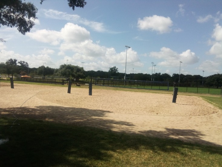
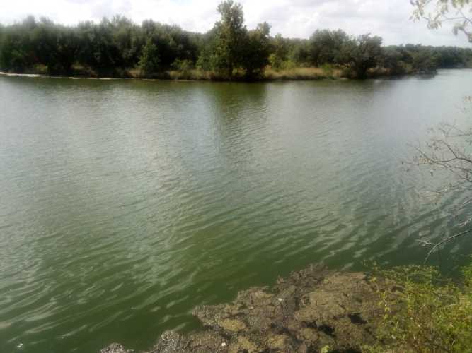
    Just past Brushy Creek Sports park came Brushy Creek Lake Park. It sort of combined the best of both worlds. A lake on one side with fishing and kayaking and such. A park on the other side with open spaces and beach volleyball and two bocce ball courts (bring your own bocce balls).
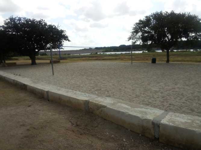
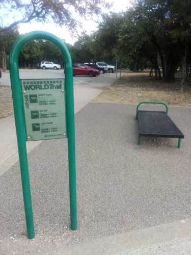
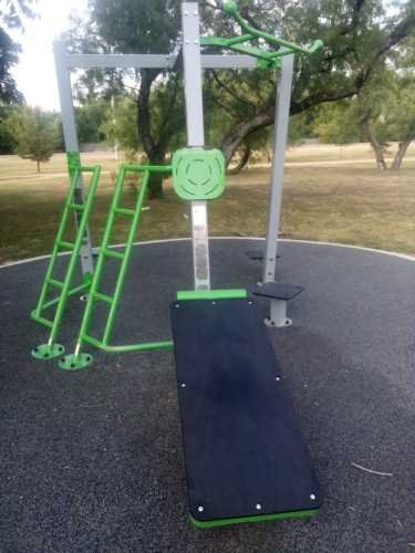
    That last picture shows a body curl and ab workout station that I assumed was part of an outdoor fitness area. I looked all over everywhere near it but could not find so much as a rusty pull-up bar nearby. It’s too bad because the only thing that could have made this better was some freestanding exercise equipment.

    As a reader of this blog, you have surely picked up on the fact that I am not particularly enamored with modern art. Most of it seems like easily disregarded trash created by people with too much free time and disposable income. However, sometimes a piece will cause a small stir in the part of my brain that yearns to appreciate beauty. I saw one of those pieces on the shore of Brushy Creek Lake. Here is “Freshwater Cowgirl” sculpted by Anthony St. James.
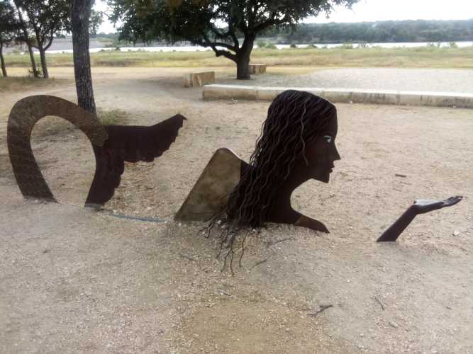
    I’m not sure what it is exactly that I enjoy about this piece. Maybe the way she seems to rise from the earth like Minerva from Jupiter’s skull. Or the fact that she seems to be offering you something you strongly desire with her free hand. It has been said that writing about music is like dancing about architecture, and certainly talking about art falls into that same category. I really liked it, is all I’m trying to say.

    Moving on from the lake I got to cross over the dam that explained it.
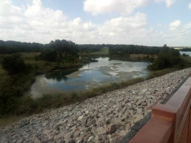
    By this point, I was just over halfway to the other end.
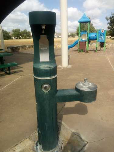
    Next up was Champion Park. This park was named after Jack Champion, who owned 200 acres of land along Brushy Creek in the nineteenth century. He was buried in a small cemetery adjacent to the trail and park. The thing I’ll remember most from this park is the unfathomable water pressure behind the bottle filler on the water fountain. It literally knocked the bottle out of my hand when I first held it underneath the damn thing.
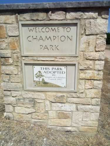
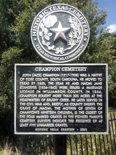
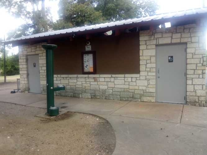
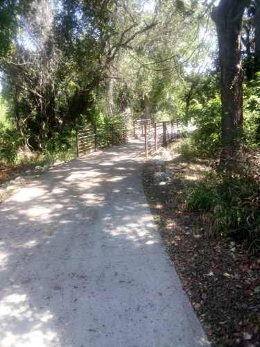
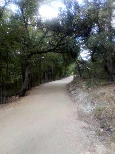
    I know I’ve already heaped so much praise on this trail, but I need to continue to do so. More kudos because it really felt as though this trail was designed by and for people with two things as high priorities: staying hydrated and staying in the shade. There were loads of water fountains all over. Not all of them worked, but even still it was never more than a mile and a half or so between working ones. Same with the toilets. There were also multiple locations totally covered in shade, even in midday.
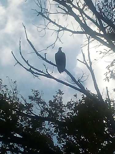
    My next noteworthy experience was catching some shots of a giant bird perched ominously along the treetops.
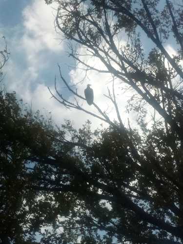
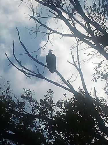
    I believe this to be a red-tailed hawk based on my extensive knowledge of the local fauna. If it had made a noise I would be certain. Red-tailed hawks make the noise you imagine birds of prey make. If you’ve ever heard a bird of prey in a movie or on TV, you probably heard a red-tailed hawk. Check this video about the difference in sound between a red-tailed hawk and a bald eagle. One sounds like it wants to go to war, the other sounds like it wants to go to Starbucks.

    At one of the creek crossings, I almost got a picture of a great blue heron. It darted across from one set of trees into another before I could get my camera ready. It never poked back out again even though I waited for about ten minutes. I’m still fighting with myself and my equipment to become the nature photographer I know I can be. In the meantime, these back-lit faraway shots are all I have.

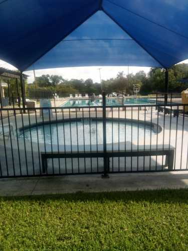
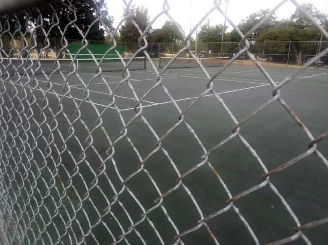
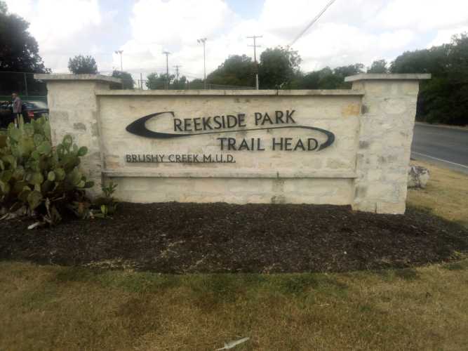
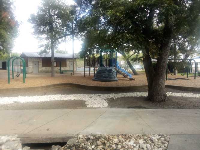
    The next few parks the trail touched were Olsen Meadows Park, Creekside Park, and Shirley McDonald Park. Creekside was the largest of those parks and included tennis courts, play areas, and a pool.
    Past Shirley McDonald Park one leaves the city of Cedar Park and enters the city of Round Rock. Round Rock is another suburb of Austin most known for being the home of Michael “Dude, You’re Getting A” Dell and his company Dell Technologies. It is also the home of the Round Rock Express. The Express are a minor league baseball team that oscillates affiliations between the Astros and the Rangers every few years. They have been the Rangers’ AAA team since 2021 so they are probably due to go back to the Astros soon enough.

    The coolest thing about moving into Round Rock is that Brushy Creek Road becomes Hairy Man Road. This gives me the perfect excuse to discuss The Hairy Man.

    The Hairy Man was a small boy in the 1800s who got separated from his parents and was raised by the fauna of Brushy Creek. As he grew he had no clothes to wear. Fortunately, his hirsuteness covered his modesty. The Hairy Man vowed to protect the denizens of Brushy Creek by scaring away other people. One day he got trampled by some horses, but the caretaking cryptid is said to still haunt the area until this day.
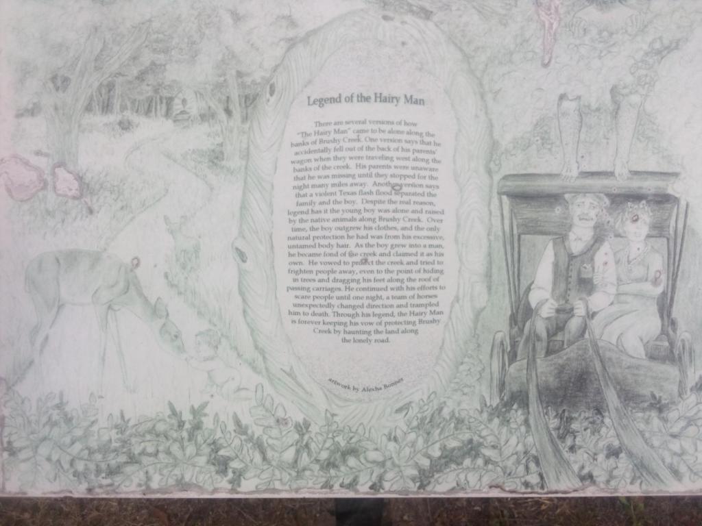
    Click to enlarge.

    The Hairy Man is a pretty big deal in Round Rock. So much so that there is a whole day and festival devoted to him. The day includes a 5k race and a hairiest man contest. The festival is on October 17th this year, which means you still have time to stop shaving your back and enter yourself in the competition.

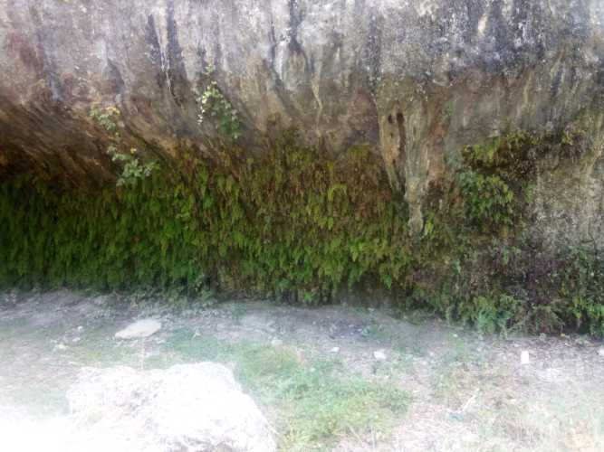
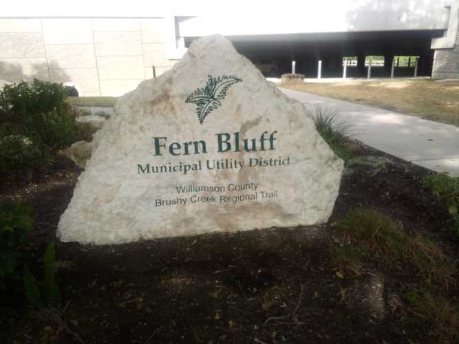
    There wasn’t really much left to do to wrap up this trail after that. You may notice the very first picture here mentions Fern Bluff. In case you are wondering what a “fern bluff” is, I’ve got you.
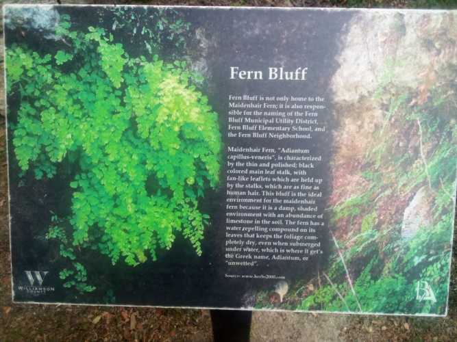
    The bluffs are an outcrop of rock that provides the perfect amount of shade to allow the ferns to bloom underneath their purview.
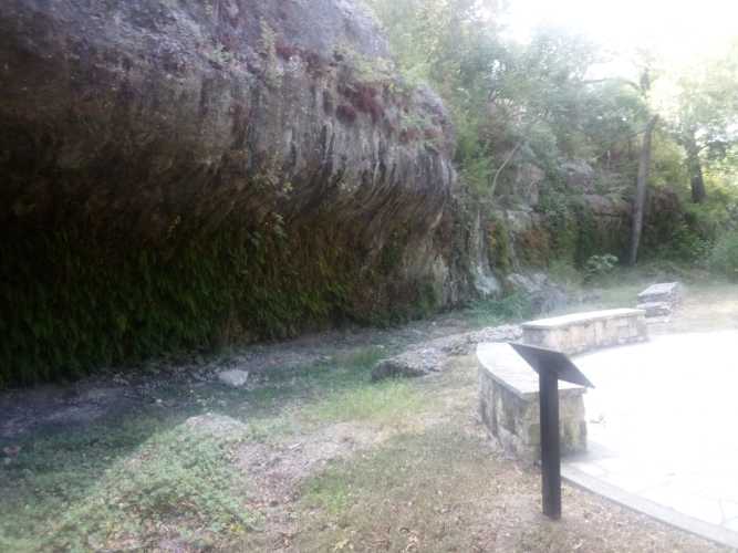
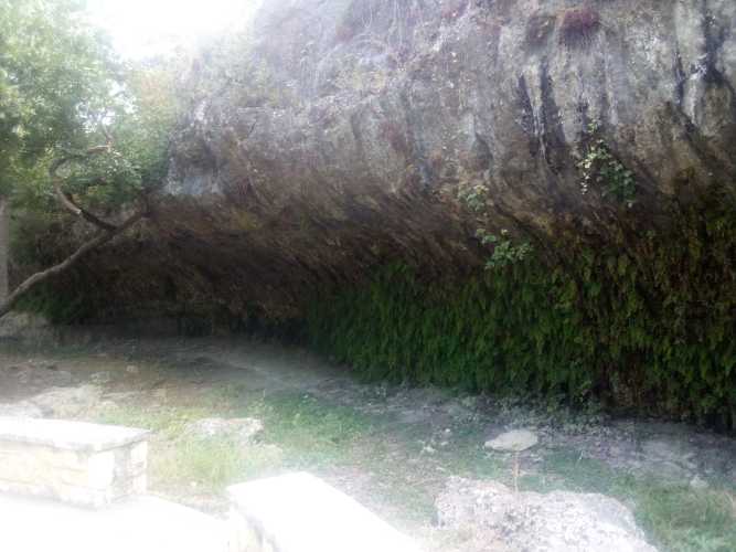
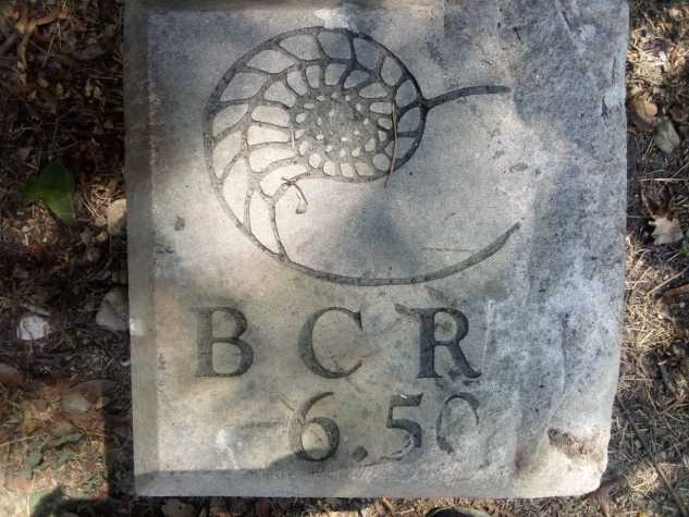
    Soon after that I hit the mile 6.50 marker.
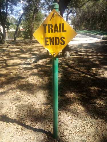
    And finally, the end of the trail. I knew this because there was a helpful sign.
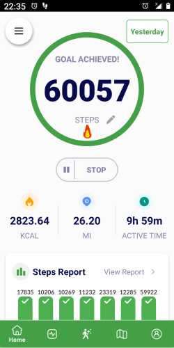
    Normally, I’d wrap everything up here. But in this case I actually had to walk all the way back to the Twin Lakes YMCA to complete a slightly greater than 13 mile loop. For some other stupid reason I decided to do a whole host of errands after I finished up. This resulted in me walking over 60000 steps on the day. I had never even done 50000 up to this point so, needless to say, I was plumb wore out.
    Having read this far I doubt I need to explicitly mention in my conclusion, but I loved loved loved this trail. I loved the way they integrated both bikers and hikers. I loved the way the trail touched so many parks with so many things to do in them. I loved the facilities. I loved learning about The Hairy Man. Easily the best trail I’ve hiked so far.
  • Southern Walnut Creek Trail

    In chapter 11 of the Book of Judges we are introduced to Jephthah. He is the bastard son of Gilead and gets forced into exile because his legitimate brothers will not share their inheritance with him. While in exile, he is exhorted to lead Israel’s armies against the Ammonites.

    Before the fateful battle, Jephthah prays to God for assistance. In return he vows to make a burnt offering of the first person to emerge from his house. God delivers a victory for Israel and when Jephthah returns home his only daughter is the first person that comes out to meet him. Awkward. Being a man of his word, he made an offering out of her.

    In the twelfth chapter, the Ephramites threaten to burn Jephthah’s house down. Not because he killed his daughter, but because he fought the Ammonites without asking their help first. Jephthah goes to war with the Ephramites and routs them. As the Ephramites attempt to flee over the river, the Gileadites make everyone who tries to cross pronounce the word “shibboleth”. Because of linguistic differences, Ephramites pronounced the word as “sibboleth” making it easy to know which ones to allow to cross the river and which ones to kill. 42000 Ephramites died, so the method was coldly efficient.

    Anyway, that story is where we get the word “shibboleth” which is any word or phrase that can be used to distinguish between in-groups and out-groups. One common shibboleth is in the way place names are pronounced. People local to an area will know the pronunciations, but tourists or recent arrivals will get tripped up and mark themselves as part of the out-group.

    Living in Las Vegas, the most common shibboleth was the pronunciation of the state name. Locals would say it correctly as “ne-VADD-uh”. People whose sole purpose in life was to crawl into casinos and empty their wallets so we could avoid paying state income taxes would pronounce it “ne-VODD-uh” or some other appalling way.

    Massachusetts was full of geographical shibboleths. This happens when the place names are a melange of American English, British English, and Native American words. Then each word gets filtered through a heavy Bawstin accent. This is how you wind up with Worcester pronounced “WOO-stah” or Cochituate as “co-KIT-chew-it”.

    Like those states, Texas also has shibboleths. I dare anyone to say Pedernales correctly the first time you see it. One big one in Austin guaranteed to trip you up within your first month of moving here is Manor. Pronounced “MAY-ner”. Manor is a suburb east of Austin where a host of commuters live.

    Okay, I’m going somewhere with this meandering introduction. Manor is important to this post because there is an Austin To Manor bike trail that runs five miles and terminates at Johnny Morris Road in east Austin. Just on the other side of the street from the end of that trail is the northern end of the Southern Walnut Creek Trail. I did the Northern Walnut Creek Trail earlier this spring, so it was only a matter of time before I grabbed the 25 pound backpack and attacked this one too.

    First things first, this trail was very wide and well kept. It definitely functions chiefly as a bike trail with hiking being a second priority. The entire thing was paved with almost no potholes or visible cracks or anything. Every section had lots of signs about upcoming curves and reminders to slow down in hilly sections. I enjoyed it as a hiker, but I feel like if I was a biker this would be my favorite trail by a wide margin. Oh, and there were lots of trees and shade. This was great because Austin is currently in the grips of a seemingly never ending run of consecutive 100 degree days in August.

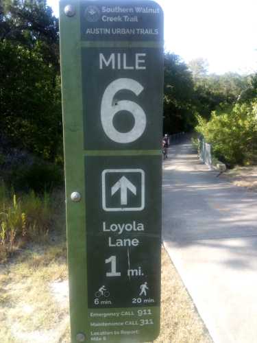
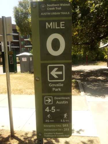
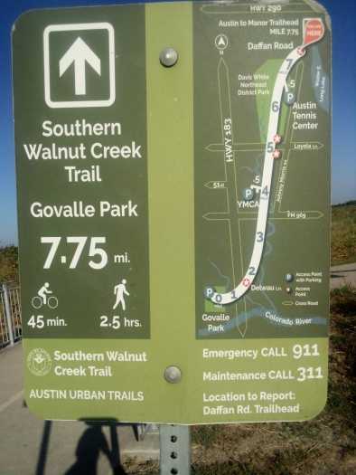
    Second thing second, you’ll notice that the sign is showing the miles to the end of the trail instead of beginning at mile zero. Mile zero is on the southern end closer to downtown. I started on my less preferred end for two significant reasons.

    One, the northern end is difficult as fuck to get to using public transit. I had to take two buses and then hoof it almost two miles to reach the start point. Conversely, the opposite end was only about a quarter mile from a bus stop. I figured it would be better to inconvenience myself at the beginning of the day before it got too hot than to walk the entire trail and then have an hour of walking to look forward to.

    Two, doing it this way allowed me to go somewhere exciting close to the mile zero marker. Sort of like the pot of gold at the end of the rainbow. I’ll leave exactly what that place was until the end of this post.

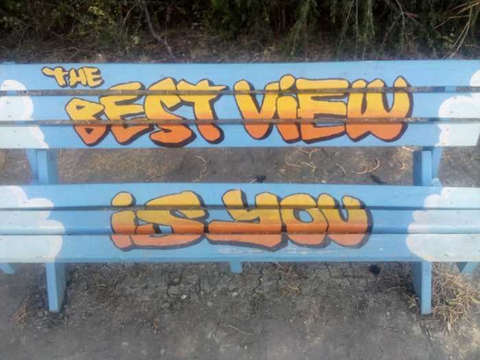
    One of the more interesting sights along the first couple of miles was this painted bench.

    I’d like to say, for the record, that whoever painted this bench never saw my face. If they had they would never say it was better than any view. In all fairness though, I guess I need to share the view from this bench before I can say it is definitely better than my visage.

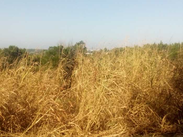
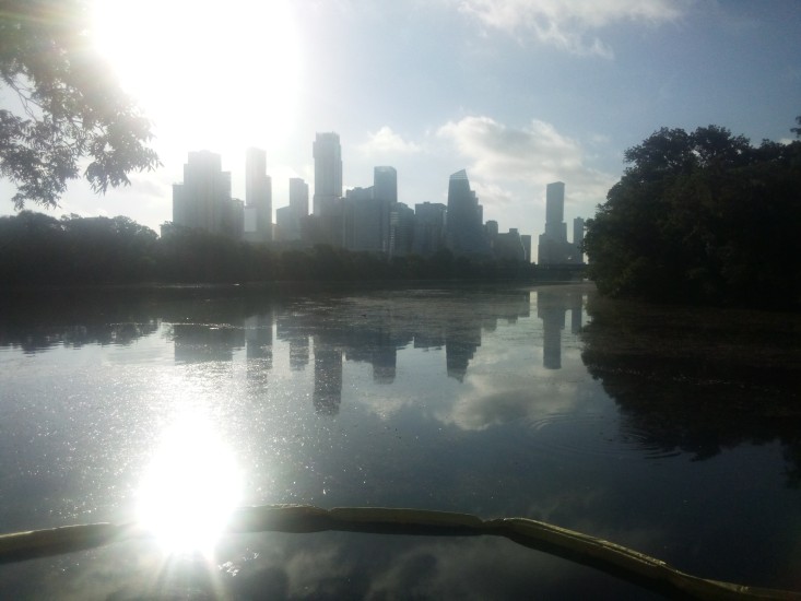
    You can make out a faint view of downtown beyond the green trees. If you can get past the mountain of tall, brown, dead and dying grass. In addition to being 100 degrees every day in August, water has been in short supply. The airport has seen a grand total of 0.02 inches of rain this month. Most every living thing in town is either slowly dying outside or complaining inside in their underwear sitting next to the air conditioner.

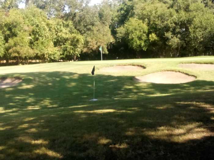
    The trail meanders along for a few miles and then runs along beside Harvey Penick Golf Campus. In addition to a nine hole golf course, they also host a footgolf course. Footgolf is pretty much what you think it is. You kick a soccer ball around a golf course until you kick it into an oversized hole. Fewest kicks wins.

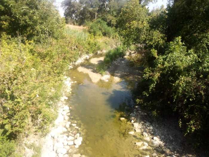
    At least you could see some green grass on the golf course. Check out this bridge over Walnut Creek that showed how low the water level was.

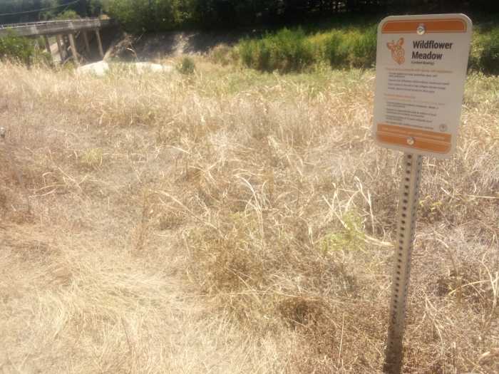
    Not to belabor the dryness in Texas right now, but I’m going to do just that. The Ross fire continues to rage west of the Metroplex. Honestly, as bad as conditions are it could have happened anywhere in the Lone Star State. I passed a “wildflower meadow” in name only.

    If nature’s first green is gold, then her last green is brown. With apologies to Robert Frost, I’d like to wax poetic about summertime in Austin.

    Nature’s last green is brown, once you notice it gets you down.

    As temperatures climb ever higher, everything might catch fire.

    This recap might make it seem like I was depressed the entire trip, but that would be far from the case. Truth is, Austin always gets hot and dry in the summer. It’s not as bad as Lake Powell or anything, so we’ll be just fine. Fingers crossed.

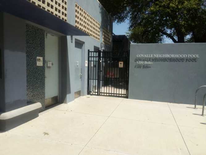
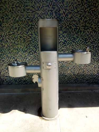
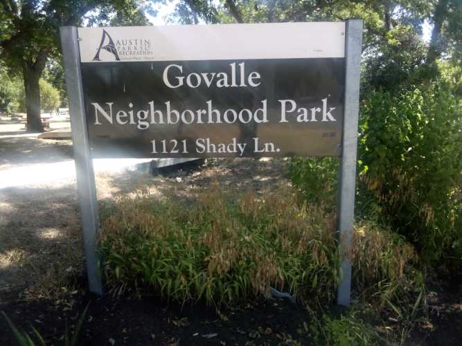
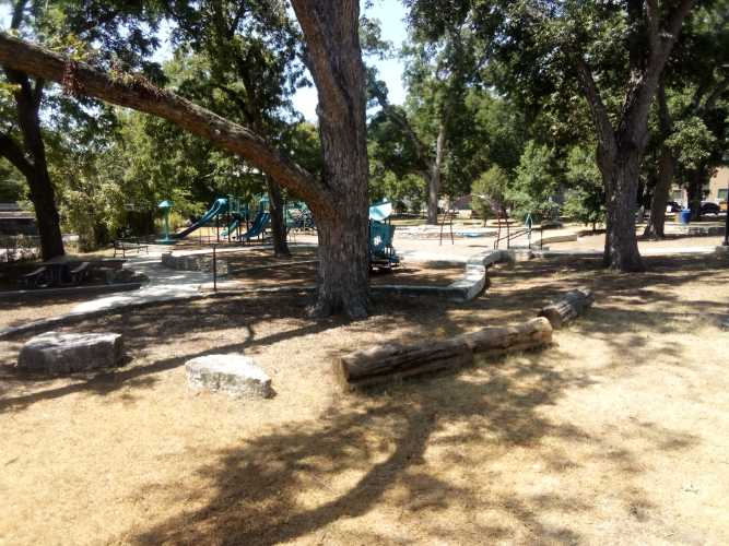
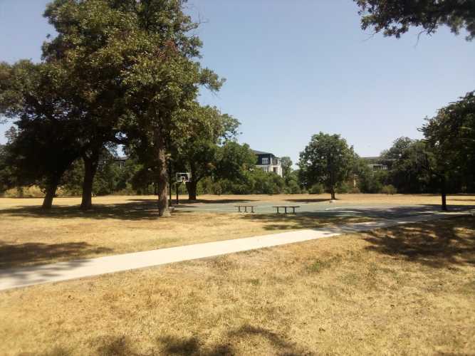
    Nothing much eventful happened until I reached the southern end of the trail at Govalle (pronounced “go-VAL-ee”) Neighborhood Park. Remember when I said earlier that this trail catered to bike riders? Once I got to Govalle Park I realized that there were no bathrooms or water fountains anywhere along the main trail. Fortunately the park had nice restrooms and water fountains with faucets for filling water bottles.

    I took a few other pictures at Govalle Park, so I might as well show them off here.

    After milling around in the park for a while, it was time to go check out that sweet mile zero marker and bring this hike to an end.

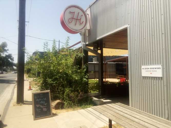
    But, of course, this was not really the conclusion because I promised a pot of gold at the end of this rainbow. I walked about half a mile down Shady Lane from the park and found my destination, Hi Sign Brewing.

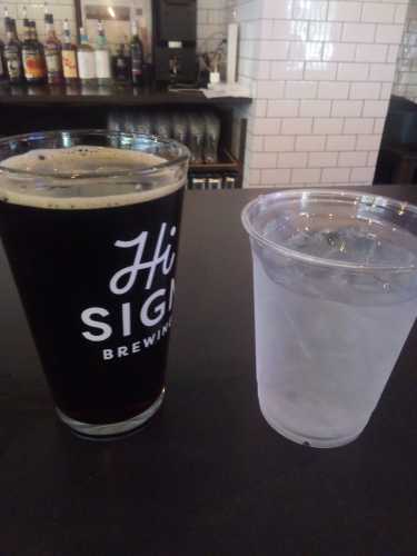
    I had to try their Millie Brown Ale, an American brown, and got a cool cup of delicious ice water to stay hydrated.

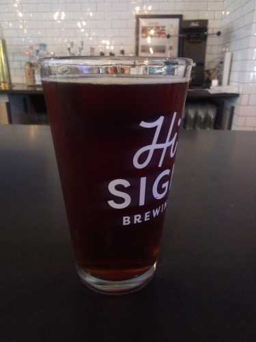
    After that, it was time for a Shamus Irish Red.

    Both beers were refreshing but, truth be told, the service was less than desirable. Despite being one of only two people at the bar I had to stare daggers into the bartender before she would stop doomscrolling and come over and assist me. I get it, I’m hideously ugly. But does that mean I’m not entitled to good service? I am not an animal!

    After the second beer it really was time for my journey to end. I don’t really have a closing statement here, so that’s it. Drive home safe.

  • 183 Trail

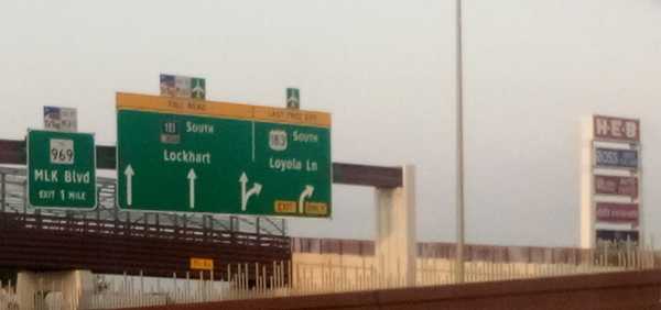
    To start 183 Trail you just start walking south from somewhere near the intersection of US 183 and US 290 along the 183 service road.

    Service roads are a concept I had never heard of before moving to Austin, but I think they’re neat. Any major thoroughfare in Texas has a surface street running parallel to it where businesses live and which you can use to go wherever the highway goes without having to actually get on the highway and deal with highway driving. Obviously, you want to use the highway to go more than 5 miles, but for short trips I always choose to stay on the service road.

    This time I threw on the 25 lb. pack and headed out to 183 Trail. This trail was appealing because it measures 10 miles running north-south alongside 183 and 183 Toll Road between northern Austin and the airport. While the other trails I’ve done so far (walnut creek, shoal creek, etc) have all been maintained by Austin Parks Foundation, 183 Trail falls under the purview of the Central Texas Regional Mobility Authority (CMRTA). This means there are some good and (mostly) bad differences between this trail and all of the other ones I’ve talked about previously.

    A quick aside here. For reasons I do not entirely understand, 183 service road has four different names throughout Austin proper. It is referred to as Research Boulevard, Anderson Lane, Ed Bluestein Boulevard, and Old Bastrop Highway depending on exactly where you are standing when you are speaking. So as not to confuse anyone reading this, I’ll refer to it only as 183 service road. But just know that here in Austin no one ever does this.

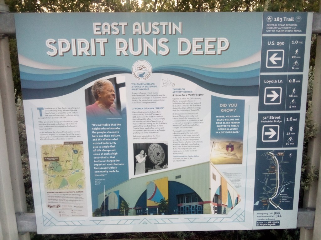
    There was no “mile zero” signpost at the beginning of the trail, but there was this informational billboard on the roadside about a mile south of 290. The trail itself referred to these as kiosks, and this was the first one.

    click to enlarge

    I cannot emphasize this enough. If I had not seen this kiosk, I would have had no idea I was on an actual trail. This was just sidewalk on a busy service road. Cars were whizzing by and the noises of a morning commute filled the air. Most of the time there was no protected bike lane, just a little portion of the service road shoulder carved out.

    It continued pretty much exactly like this until I got to Loyola Lane and saw a sign for Davis-White Park. Since the trail was proving to be underwhelming, I figured I would undertake a side quest.

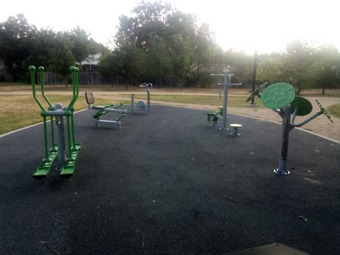
    Davis-White Park was named for Willie Ray Davis and Louie White, the first black captains of the AFD and APD. It is almost 20 acres and contains a 1/2 mile walking loop, large open spaces, playgrounds, and there was a food truck there at like 7:45am. Looking back, I probably should have taken some pictures of all that, because it was a pretty cool place. Oh well. I did get some pictures of the outdoor fitness station there. Because of course I did.

    Second from the left in the second picture is a body weight rowing machine. I unabashedly love this thing and might ask it to prom. A really good, solid piece of equipment that gave me a great strength and cardio workout in only 2 or 3 minutes of use. I’ve only seen one other example of this in my life, so it was a real privilege to find one here.

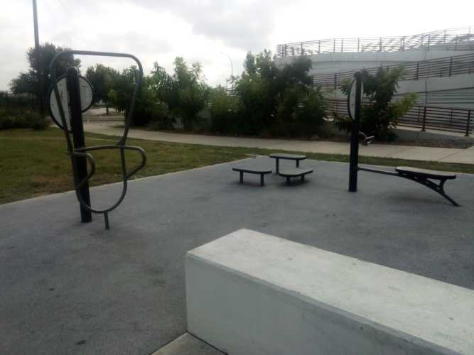
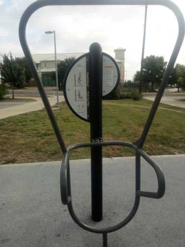
    Getting back on the trail, the next big landmark was the trailhead at 51st Street. To call it a trailhead was being charitable. It mainly consisted of parking spots, which was nothing to sneeze at but also nothing overly impressive. There was a small fitness area though, so it’s got that going for it, which is nice.

    the dip / pull-up station on the left looks like modern art
    2026. Plastic and metal on concrete.

    Directly across the street from the trailhead was the YMCA on 51st Street. Frustratingly, there was a kiosk in front of the YMCA. This meant that in order to see all of the kiosks you needed to bounce back and forth across the street multiple times. And, just to drive this point home, remember that this trail goes along next to a one-way service road that is next to a pretty big roadway with the service road in the opposite direction next to that. You needed to cross all of that to get from one side to the other.

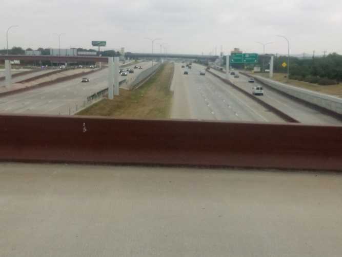
    view from a pedestrian bridge over 183

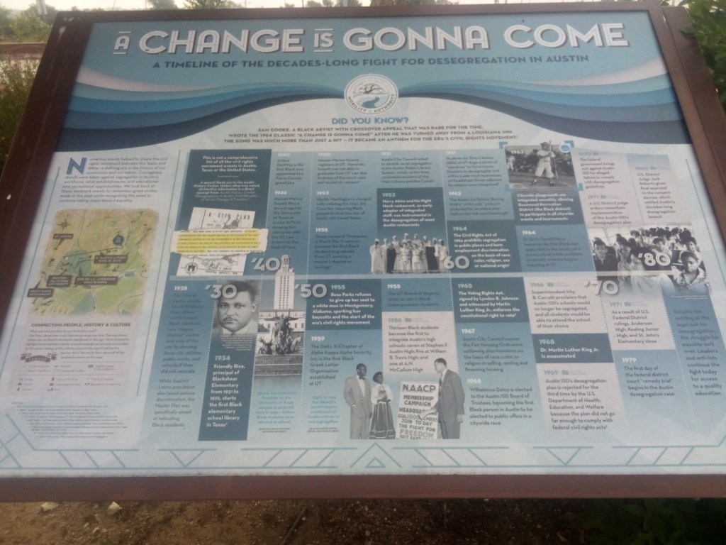
    About a half mile from that kiosk, on the opposite side of the street once again, was a cool four-panel exhibit about civil rights in Austin. The four panels were arranged in a semicircle on the northwest corner of the MLK / 183 intersection. Here is one of those panels.

    click to enlarge

    At this point you may have noticed that I showed you two kiosks and they both deal with minority pride and history. It probably won’t surprise you to learn that East Austin is home to a large population of minorities. However, it may surprise you to find out why that’s the way it is.

    Let’s take another small side quest to learn all about the Austin Master Plan of 1928. Before Austin was the weird place where everyone lived in skyscrapers and did stand up paddleboarding, it was just a small but growing Texas city. Blacks in Austin lived in several enclaves all across the city called freedsmen towns. White Austin did not like the idea of so many black residents spread across the area. The 1928 city plan was an excuse to make sure freedsmen towns all over Austin got no support from the city, in an effect to drive all black Austinites into east Austin, where the largest concentration already was. To quote directly from the plan itself:

    There has been considerable talk in Austin, as well as other cities, in regard to the race segregation problem. This problem cannot be solved legally under any zoning law known to us at present. Practically all attempts of such have been proven unconstitutional.


    In our studies in Austin we have found that the Negroes are present in small numbers, in practically all sections of the city, excepting the area just east of East Avenue and south of the City Cemetery. This area seems to be all Negro population. It is our recommendation that the nearest approach to the solution of the race segregation problem will be the recommendation of this district as a Negro district.

    Cough, redlining, cough. The systematic coerced migration of black Austin to the eastern edge of the city was only exacerbated when Interstate 35 replaced East Avenue and bisected the city like a scar. This just made it easier for white Austin to improve and grow while denying those same resources to minority Austin. Just remember that whenever “they” say the things that happen now don’t have powerful, lasting ramifications – they do in fact have powerful, lasting ramifications that outlive most people’s memories of the things that occurred in the first place.
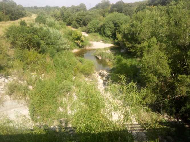
    South of MLK after a few miles I came to Boggy Creek. There was a stairway down from 183 to get closer to the creek and see some greenery. Here is a picture showing the creek water level.

    It was here at Boggy Creek where I saw a group of maybe five or six birds circling overhead. They were about half a mile away and pretty far up in the sky, so I was not able to identify them or get any photos. But it did make me realize that until that point I had not seen any other birds along the trail. Being so close to such a busy roadway, the birds simply were not anywhere to be found.

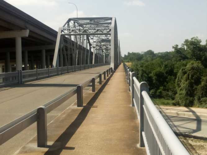
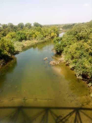
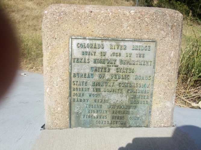
    Next up was the biggest landmark on 183 Trail, the Montopolis Truss Bridge. Listed in the National Register of Historic Places, the bridge was built in 1937-38 to replace the original bridge after it was destroyed by floods. Here is a gallery of the bridge itself, the Colorado River it crosses, and a plaque from the opening. And my blurry index finger.
    183 Trail continued south past the bridge all the way down to Austin-Bergstrom. As you can guess, there was a fair amount of traffic on that portion on 183. And that pretty much wrapped up the adventure for the day.
    I have a few thoughts about this trail in general. It really felt like they built US 183, and then someone decided or heard about some kind of program that gave out federal grants for trails. So they tried to reach out and grab that money by sticking some signs on the side of the road and claiming this was a trail. 183 trail is not a trail, it’s just a sidewalk on the side of a road. And, you know, I have no problem with it being the latter. My only problem is when you claim to be the former.

    It was a difficult trail because at every road crossing the trail sloped up to the elevated intersection, which was great because the walk was challenging. No trees meant the sun beat down constantly. I began right around sunrise, but by the last few miles the heat was nearly unbearable. I was stopping to drink water more frequently than normal. All in all; good workout, mediocre experience, but I did learn some things.

  • Butler Bike Trail

    When a person from outside the Austin area thinks of Austin, they likely think about all of the sights you can find along the Butler Bike Trail. The kinds of spectacular shots of identifiable downtown landmarks you’d see in a show of the CSI/9-1-1/FBI -insert-your-city-name-here ilk, if there was such a show based in Austin. Wait a minute, there was a show called 9-1-1: Lone Star that was based in Austin. Their opening credits must have shown exactly the kinds of sights I’m thinking about. Let’s see that open.

    Okay. Never mind. That was pretty limp. If 9-1-1: Lone Star actually had an opening, it would show you the sort of things you think of when you think of Austin. And all those things can be seen along the Butler Bike Trail. Just trust me on this. So I threw on the backpack and went lakeside to check it out.

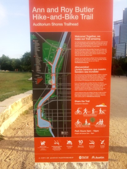
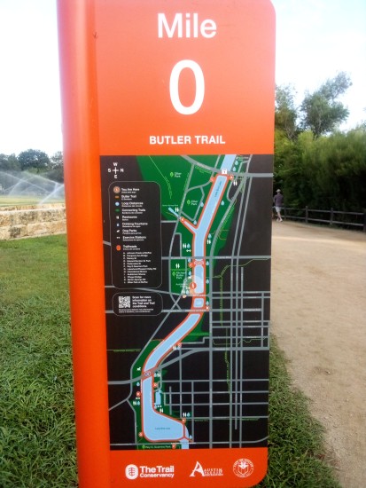
    Butler Bike Trail (officially the Ann and Roy Butler Hike-and-Bike Trail and Boardwalk At Lady Bird Lake — which rolls off the tongue) is a ten-mile loop along Lady Bird Lake between MoPac and Pleasant Valley Road. I went downtown and picked up the trail at mile zero near Auditorium Shores and hiked in the preferred clockwise direction because my OCD wouldn’t let me complete the loop in any other way.

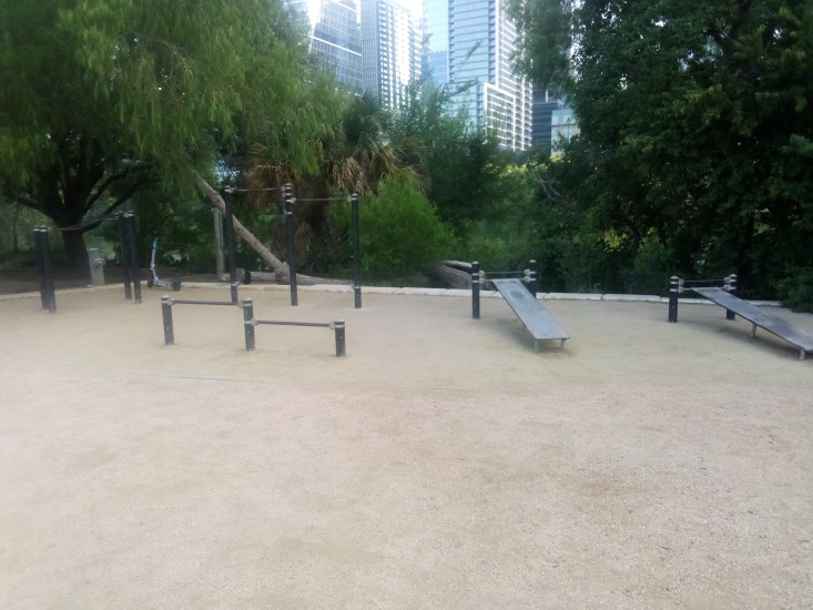
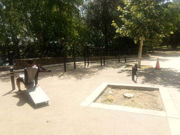
    Almost exactly at the beginning I encountered my first outdoor fitness area. A decent enough spot with some pull-up bars, push-up bars, and abdominal exercise stations. It also had good sized trees nearby to provide some shade in midday.

    The keen-eyed among you will notice the Bird scooter on the left side of the picture above. I had to include that in the shot since I am now an amateur birdwatcher.

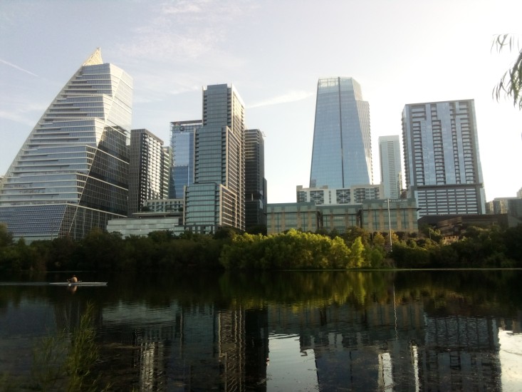
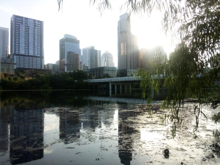
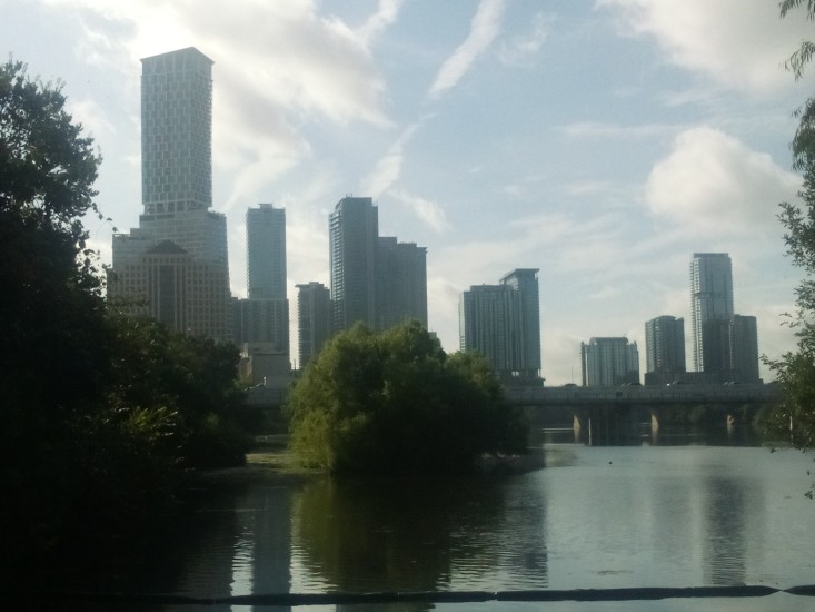
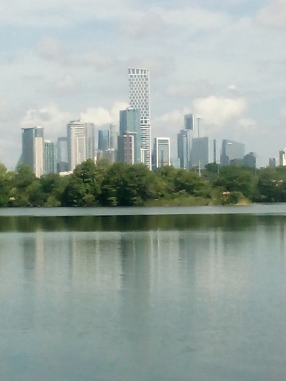
    Before I got too far into the trail, I had to take some shots of downtown. Since Austin is a city on the grow, most of what you see in the skyline is exceedingly new. In the picture on the left you can see Sail Tower on the far left; it looks like a sail. Moving right, you have Northshore, which is a high-end apartment building that looks like stair steps. On the right in the first picture and the left in the second picture is the W Hotel Austin. I’ve been on the roof there before. The views were nice and all but beer tasted the same as it does on ground level, and it’s much cheaper on the ground.

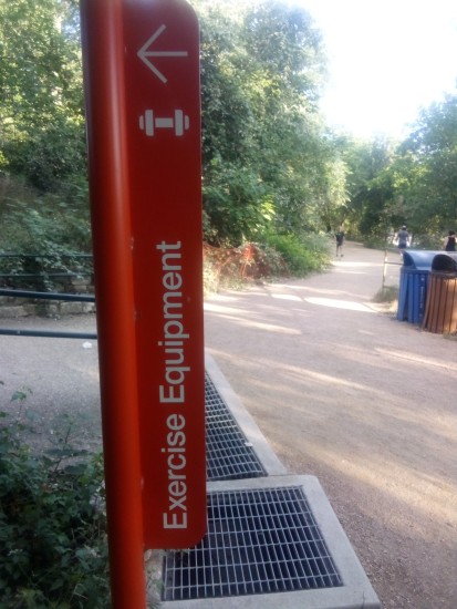
    Just under one mile into the trail I saw a sign for some exercise equipment just off the path. Of course I had to investigate.

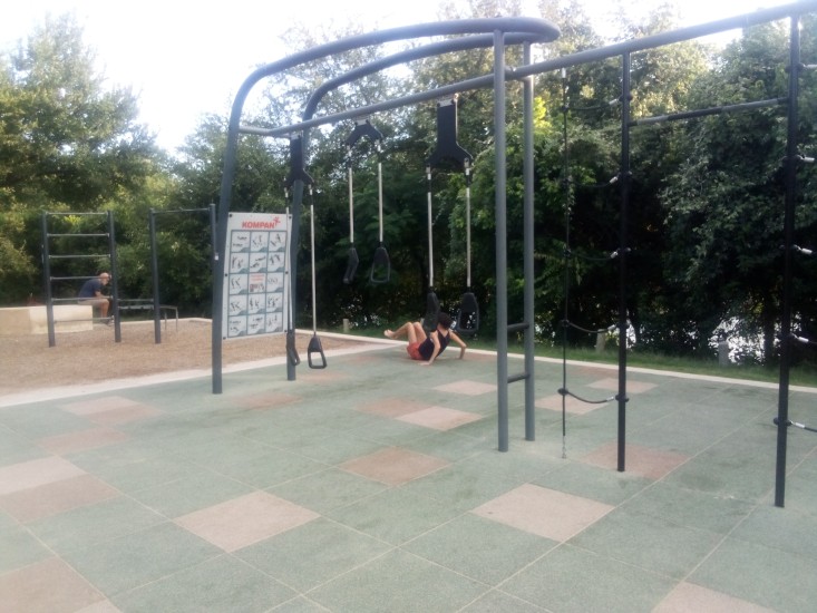
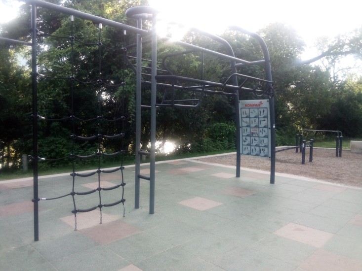
    Not 100 yards off the trail I found another fitness area. Two in less than one mile!

    And was that a Swedish ladder I saw along with some rings, a dip station, rope ladder, and suspension trainers? Be still my heart! It had only been one mile, but so far this was the single greatest trail in the entire United States of America. The only thing that could have made this better would’ve been a stand with free beef jerky.

    Sadly, there was no beef jerky. I soon made my way to Lou Neff Point. The location is named for Barbara Louise Neff, who was a civic leader and held many positions with multiple entities such as being President of Austin High School PTA and Heritage Society. Lou Neff Point is a scenic vista where I got another good shot of downtown, although Mister Sun did his best to spoil the shot.


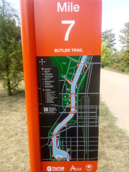
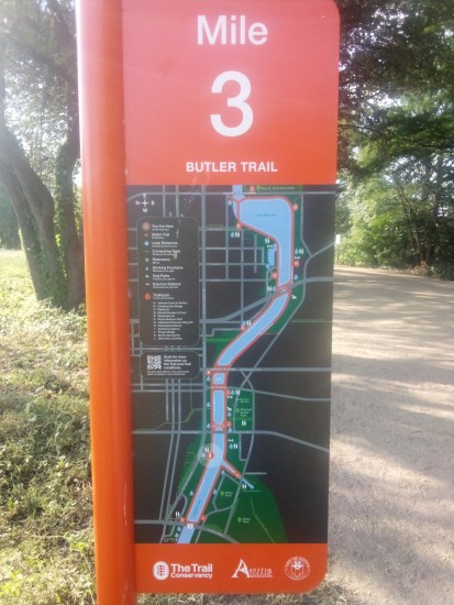
    The next couple of miles were uneventful. Just hiking along the shore, watching people, crossing over and under bridges. Spider webs covering almost everything. Notice how once I crossed over the MoPac bridge the maps on the mile markers flipped over. Not sure why that was necessary.

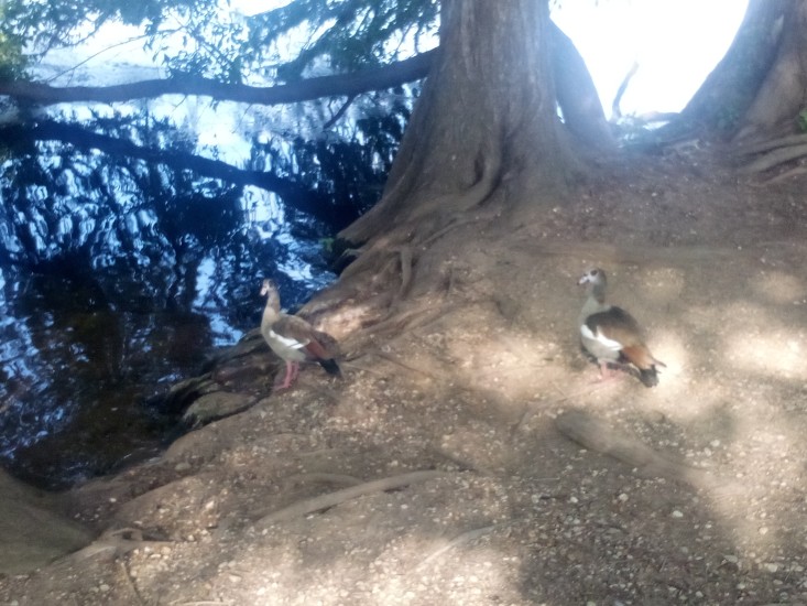
    Near the Central Library, I got a great look at two particularly photogenic Egyptian geese. I have to include a shot of them here since I am an expert birdwatcher.

    Egyptian geese are an invasive species that are not native to Texas. They are easily identified by the big brown spots around their eyes and colorful back feathers. They are also known to be aggressive when defending their area, to the point of trying to fight off drones. The two I saw were pretty chill and basically ignored me. They may have still been salty about their team blowing that lead against Argentina.

    Here is another shot of downtown that shows off a few different buildings. That super tall tower on the left is Waterline, Austin’s tallest building and her first to break 1000 feet. The buildings on the right are all part of the Rainey Street district. These include the tallest one on the right, which is 44 East.

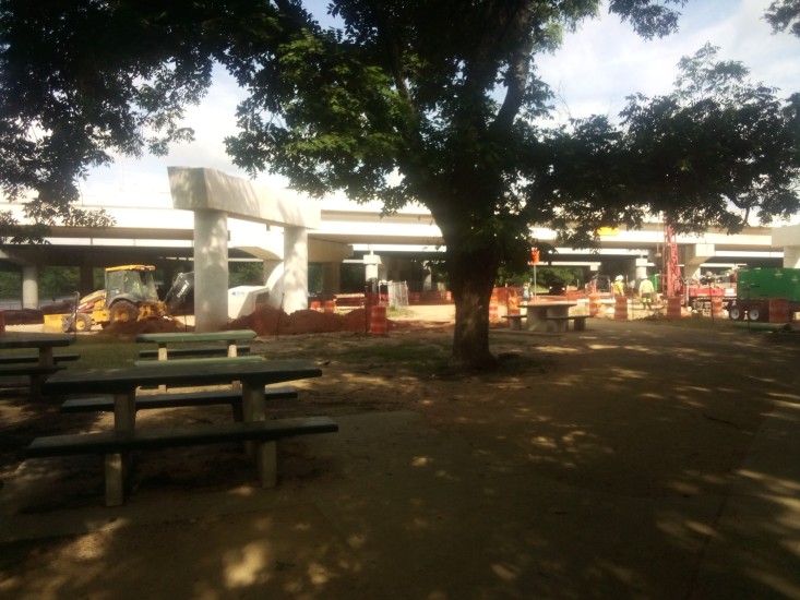
    Between mile 5 and 6 I crossed under I-35 for the first time. While there I took some time to admire the never ending construction while resting on some park benches.

    Major construction of roadways always reminds me of the Big Dig. If that name sounds sort of familiar to you, but you aren’t sure why, that was the colloquial name given to the public works project that buried I-93 underneath Boston. This was in the nineties and early 2000s. It was contentious because it was largely paid for with federal government money. Meaning some guy in Iowa was getting hit with the tax hammer so some people in some place he had never been could get their city beautified. As someone who hates spending tax money and beauty, I always thought it was unfair for the Big Dig to be funded in such a way. Especially since delays and design flaws ballooned both the cost and the timeline.

    However, as someone who lived in Boston during and after the Big Dig, I have to say it was the most significant and positive change that occurred in The Hub the whole time I was there. It literally took a town that was cut in half by the elevated highway and stitched it back together into a walkable, pedestrian friendly city. It salvaged a mishmash of ancient streets that could not handle modern traffic and at least gave commuters a fighting chance to get home from work before bedtime. It also gave us the Zakim Bridge, which is exactly the kind of landmark you see on TV when they need to tell you their show is set in Boston.

    These old legs needed another break after mile 6, so I wandered just slightly off the trail at Longhorn Dam / Pleasant Valley Road and entered Krieg Athletic Complex. I ate a turkey and provolone sandwich and Great Value key lime yogurt that I had packed myself and then checked out the park. There were probably over a dozen softball fields as well as turf fields and volleyball fields. Lots of space for recreation and whatnot.


    The mile marker maps flipped back over again at mile 7, which meant I was getting close to the end of the sojourn. Here is one more shot of downtown from around that point on the trail. For those of you who want to know more about the diverse buildings of downtown, here is a good little story and quiz from our local NBC affiliate. For everyone else, I promise I will not mention the skyline again in this post.

    I was pleasantly surprised when I saw a third outdoor fitness station. This one was much like the first one, some pull-up bars and inclined ab locations.

    At this point I need to mention one extremely positive thing. Every single fitness station had a working water fountain. More than that, there were working water fountains all over the trail. And lots of working toilets spaced adequately so that it never seemed like you went more than a mile and change without coming across one. And the trail itself was as well kept as you could expect with thousands of yahoos like myself using it every day. Hats off to The Trail Conservancy and their Park Rangers and custodians and everyone involved with making sure that everything was in pristine condition. The effort was much appreciated.

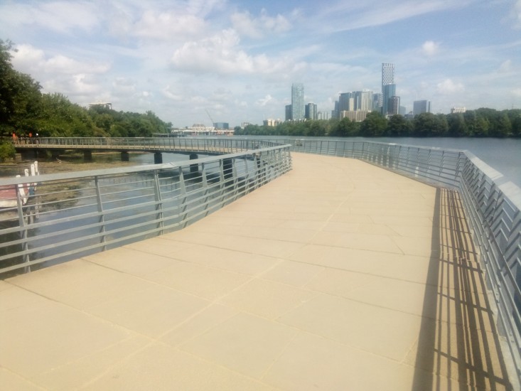
    The homestretch of the trail included the Boardwalk. This reminded me of the Esplanade in Boston. The Esplanade was always a good place to go for a run or catch an event at the Hatch Shell or play ultimate along the Charles. I haven’t lived in Boston for thirteen years, so it was strange to think about it twice in one morning. At least both memories were positive.

    Sadly, my time on the Boardwalk was not all positive. The major drawback was that there was zero overhead cover from mean old Mister Sun. And it was a hot day. Everywhere else on the trail had access to a fair amount of tree cover and shade, but the Boardwalk had none of that. I’m not sure who made that decision, but it was an interesting choice. It definitely made me speed walk the end of my hike to get it over and go somewhere cool.

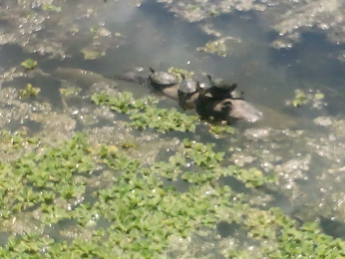
    I have one final picture that didn’t really fit in anywhere else in my story, but it needs to go somewhere. Here is a shot of four turtles on a log in the lake. Why are they there? What are they doing? Don’t know, don’t care. Enjoy.