When a person from outside the Austin area thinks of Austin, they likely think about all of the sights you can find along the Butler Bike Trail. The kinds of spectacular shots of identifiable downtown landmarks you’d see in a show of the CSI/9-1-1/FBI -insert-your-city-name-here ilk, if there was such a show based in Austin. Wait a minute, there was a show called 9-1-1: Lone Star that was based in Austin. Their opening credits must have shown exactly the kinds of sights I’m thinking about. Let’s see that open.
Okay. Never mind. That was pretty limp. If 9-1-1: Lone Star actually had an opening, it would show you the sort of things you think of when you think of Austin. And all those things can be seen along the Butler Bike Trail. Just trust me on this. So I threw on the backpack and went lakeside to check it out.
Butler Bike Trail (officially the Ann and Roy Butler Hike-and-Bike Trail and Boardwalk At Lady Bird Lake — which rolls off the tongue) is a ten-mile loop along Lady Bird Lake between MoPac and Pleasant Valley Road. I went downtown and picked up the trail at mile zero near Auditorium Shores and hiked in the preferred clockwise direction because my OCD wouldn’t let me complete the loop in any other way.
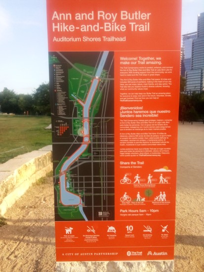
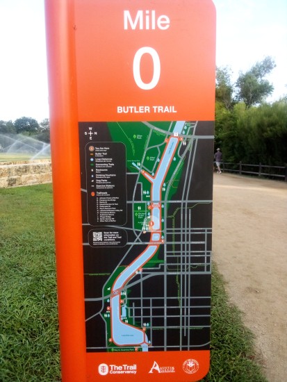
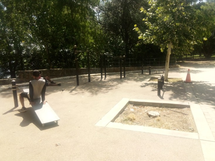
Almost exactly at the beginning I encountered my first outdoor fitness area. A decent enough spot with some pull-up bars, push-up bars, and abdominal exercise stations. It also had good sized trees nearby to provide some shade in midday.
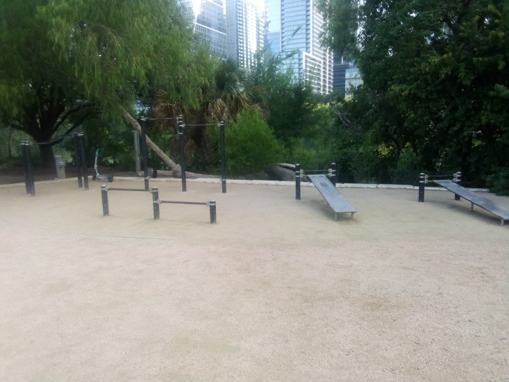
The keen-eyed among you will notice the Bird scooter on the left side of the picture above. I had to include that in the shot since I am now an amateur birdwatcher.
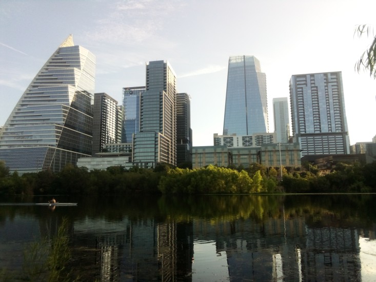
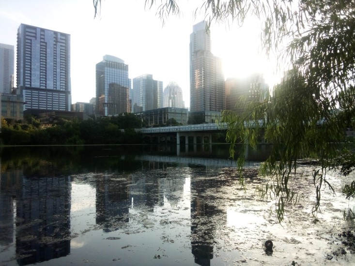
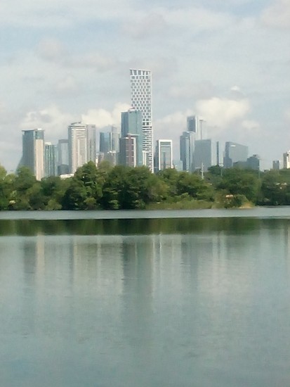
Before I got too far into the trail, I had to take some shots of downtown. Since Austin is a city on the grow, most of what you see in the skyline is exceedingly new. In the picture on the left you can see Sail Tower on the far left; it looks like a sail. Moving right, you have Northshore, which is a high-end apartment building that looks like stair steps. On the right in the first picture and the left in the second picture is the W Hotel Austin. I’ve been on the roof there before. The views were nice and all but beer tasted the same as it does on ground level, and it’s much cheaper on the ground.
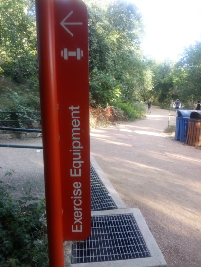
Just under one mile into the trail I saw a sign for some exercise equipment just off the path. Of course I had to investigate.
Not 100 yards off the trail I found another fitness area. Two in less than one mile!
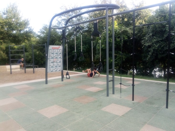
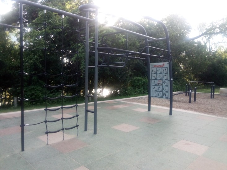
And was that a Swedish ladder I saw along with some rings, a dip station, rope ladder, and suspension trainers? Be still my heart! It had only been one mile, but so far this was the single greatest trail in the entire United States of America. The only thing that could have made this better would’ve been a stand with free beef jerky.
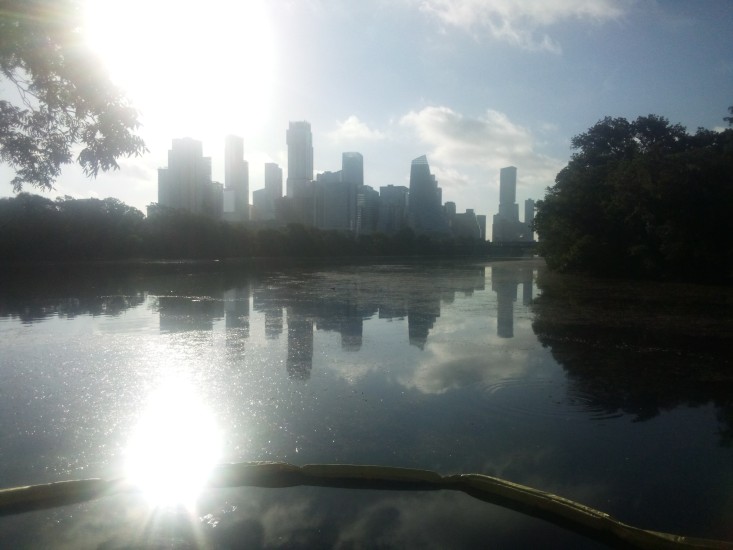
Sadly, there was no beef jerky. I soon made my way to Lou Neff Point. The location is named for Barbara Louise Neff, who was a civic leader and held many positions with multiple entities such as being President of Austin High School PTA and Heritage Society. Lou Neff Point is a scenic vista where I got another good shot of downtown, although Mister Sun did his best to spoil the shot.
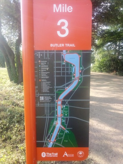
The next couple of miles were uneventful. Just hiking along the shore, watching people, crossing over and under bridges. Spider webs covering almost everything. Notice how once I crossed over the MoPac bridge the maps on the mile markers flipped over. Not sure why that was necessary.
Near the Central Library, I got a great look at two particularly photogenic Egyptian geese. I have to include a shot of them here since I am an expert birdwatcher.
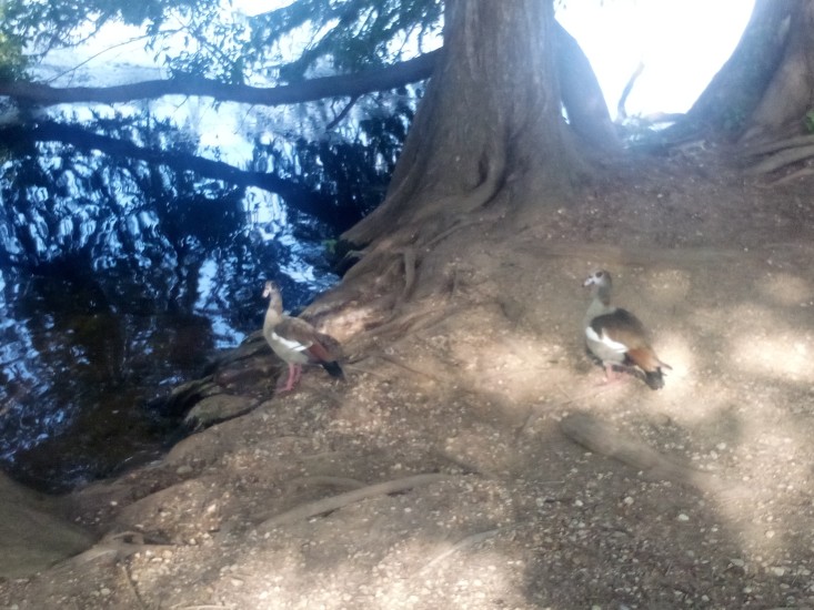
Egyptian geese are an invasive species that are not native to Texas. They are easily identified by the big brown spots around their eyes and colorful back feathers. They are also known to be aggressive when defending their area, to the point of trying to fight off drones. The two I saw were pretty chill and basically ignored me. They may have still been salty about their team blowing that lead against Argentina.
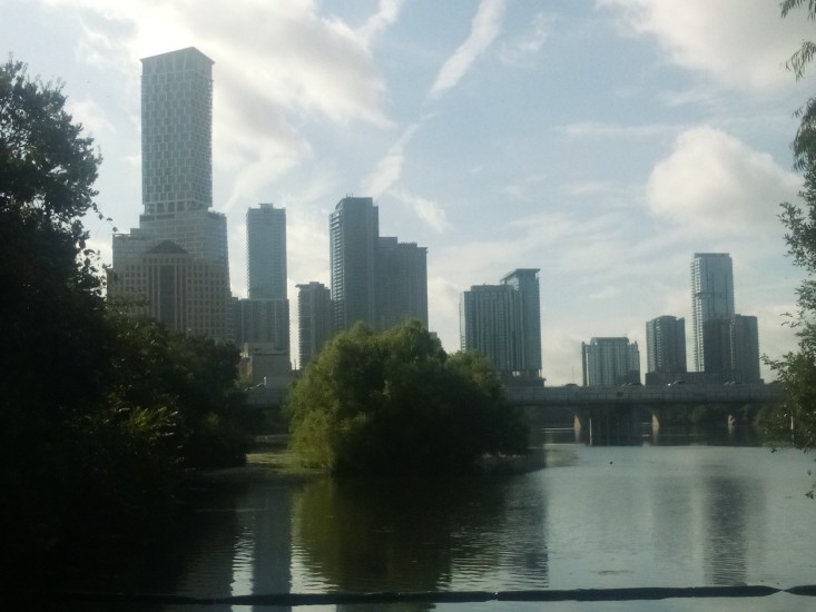
Here is another shot of downtown that shows off a few different buildings. That super tall tower on the left is Waterline, Austin’s tallest building and her first to break 1000 feet. The buildings on the right are all part of the Rainey Street district. These include the tallest one on the right, which is 44 East.
Between mile 5 and 6 I crossed under I-35 for the first time. While there I took some time to admire the never ending construction while resting on some park benches.
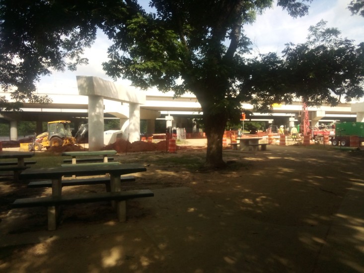
Major construction of roadways always reminds me of the Big Dig. If that name sounds sort of familiar to you, but you aren’t sure why, that was the colloquial name given to the public works project that buried I-93 underneath Boston. This was in the nineties and early 2000s. It was contentious because it was largely paid for with federal government money. Meaning some guy in Iowa was getting hit with the tax hammer so some people in some place he had never been could get their city beautified. As someone who hates spending tax money and beauty, I always thought it was unfair for the Big Dig to be funded in such a way. Especially since delays and design flaws ballooned both the cost and the timeline.
However, as someone who lived in Boston during and after the Big Dig, I have to say it was the most significant and positive change that occurred in The Hub the whole time I was there. It literally took a town that was cut in half by the elevated highway and stitched it back together into a walkable, pedestrian friendly city. It salvaged a mishmash of ancient streets that could not handle modern traffic and at least gave commuters a fighting chance to get home from work before bedtime. It also gave us the Zakim Bridge, which is exactly the kind of landmark you see on TV when they need to tell you their show is set in Boston.
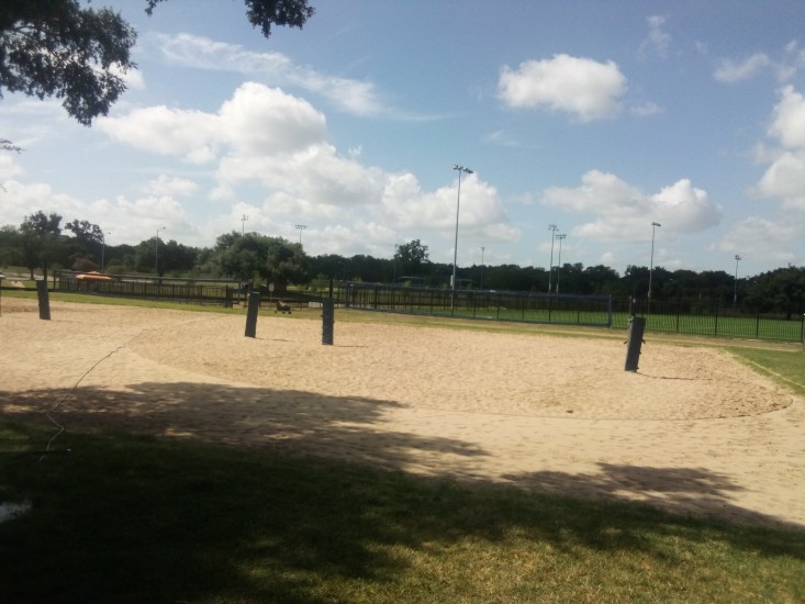
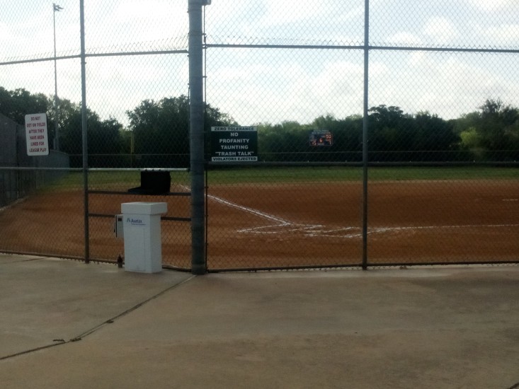
These old legs needed another break after mile 6, so I wandered just slightly off the trail at Longhorn Dam / Pleasant Valley Road and entered Krieg Athletic Complex. I ate a turkey and provolone sandwich and Great Value key lime yogurt that I had packed myself and then checked out the park. There were probably over a dozen softball fields as well as turf fields and volleyball fields. Lots of space for recreation and whatnot.
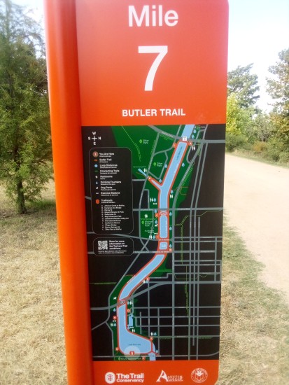
The mile marker maps flipped back over again at mile 7, which meant I was getting close to the end of the sojourn. Here is one more shot of downtown from around that point on the trail. For those of you who want to know more about the diverse buildings of downtown, here is a good little story and quiz from our local NBC affiliate. For everyone else, I promise I will not mention the skyline again in this post.
I was pleasantly surprised when I saw a third outdoor fitness station. This one was much like the first one, some pull-up bars and inclined ab locations.
At this point I need to mention one extremely positive thing. Every single fitness station had a working water fountain. More than that, there were working water fountains all over the trail. And lots of working toilets spaced adequately so that it never seemed like you went more than a mile and change without coming across one. And the trail itself was as well kept as you could expect with thousands of yahoos like myself using it every day. Hats off to The Trail Conservancy and their Park Rangers and custodians and everyone involved with making sure that everything was in pristine condition. The effort was much appreciated.
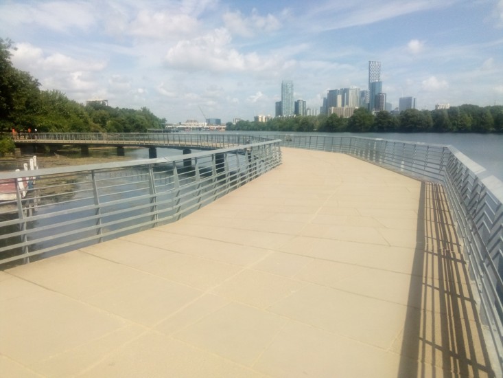
The homestretch of the trail included the Boardwalk. This reminded me of the Esplanade in Boston. The Esplanade was always a good place to go for a run or catch an event at the Hatch Shell or play ultimate along the Charles. I haven’t lived in Boston for thirteen years, so it was strange to think about it twice in one morning. At least both memories were positive.
Sadly, my time on the Boardwalk was not all positive. The major drawback was that there was zero overhead cover from mean old Mister Sun. And it was a hot day. Everywhere else on the trail had access to a fair amount of tree cover and shade, but the Boardwalk had none of that. I’m not sure who made that decision, but it was an interesting choice. It definitely made me speed walk the end of my hike to get it over and go somewhere cool.
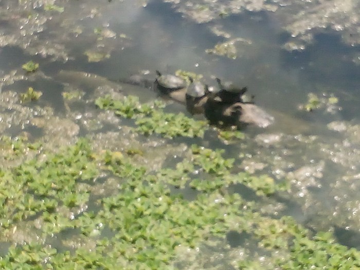
I have one final picture that didn’t really fit in anywhere else in my story, but it needs to go somewhere. Here is a shot of four turtles on a log in the lake. Why are they there? What are they doing? Don’t know, don’t care. Enjoy.
 Gene Hikes the Appalachian Trail
Leave a comment