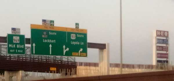
To start 183 Trail you just start walking south from somewhere near the intersection of US 183 and US 290 along the 183 service road.
Service roads are a concept I had never heard of before moving to Austin, but I think they’re neat. Any major thoroughfare in Texas has a surface street running parallel to it where businesses live and which you can use to go wherever the highway goes without having to actually get on the highway and deal with highway driving. Obviously, you want to use the highway to go more than 5 miles, but for short trips I always choose to stay on the service road.
This time I threw on the 25 lb. pack and headed out to 183 Trail. This trail was appealing because it measures 10 miles running north-south alongside 183 and 183 Toll Road between northern Austin and the airport. While the other trails I’ve done so far (walnut creek, shoal creek, etc) have all been maintained by Austin Parks Foundation, 183 Trail falls under the purview of the Central Texas Regional Mobility Authority (CMRTA). This means there are some good and (mostly) bad differences between this trail and all of the other ones I’ve talked about previously.
A quick aside here. For reasons I do not entirely understand, 183 service road has four different names throughout Austin proper. It is referred to as Research Boulevard, Anderson Lane, Ed Bluestein Boulevard, and Old Bastrop Highway depending on exactly where you are standing when you are speaking. So as not to confuse anyone reading this, I’ll refer to it only as 183 service road. But just know that here in Austin no one ever does this.
There was no “mile zero” signpost at the beginning of the trail, but there was this informational billboard on the roadside about a mile south of 290. The trail itself referred to these as kiosks, and this was the first one.
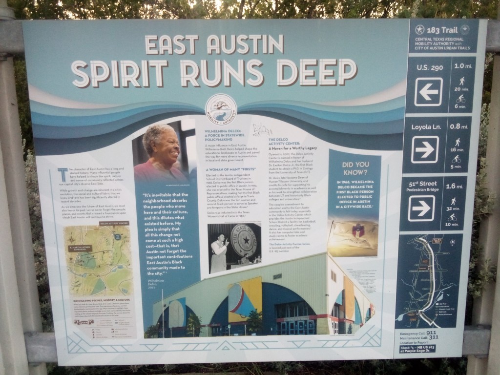
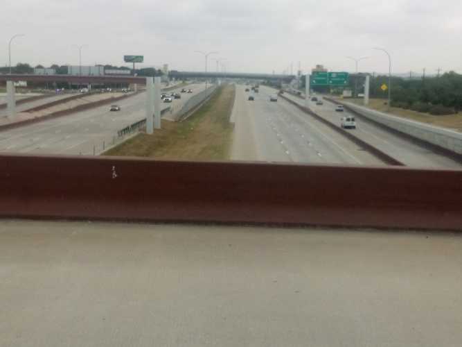
I cannot emphasize this enough. If I had not seen this kiosk, I would have had no idea I was on an actual trail. This was just sidewalk on a busy service road. Cars were whizzing by and the noises of a morning commute filled the air. Most of the time there was no protected bike lane, just a little portion of the service road shoulder carved out.
It continued pretty much exactly like this until I got to Loyola Lane and saw a sign for Davis-White Park. Since the trail was proving to be underwhelming, I figured I would undertake a side quest.
Davis-White Park was named for Willie Ray Davis and Louie White, the first black captains of the AFD and APD. It is almost 20 acres and contains a 1/2 mile walking loop, large open spaces, playgrounds, and there was a food truck there at like 7:45am. Looking back, I probably should have taken some pictures of all that, because it was a pretty cool place. Oh well. I did get some pictures of the outdoor fitness station there. Because of course I did.
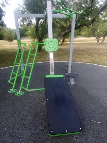
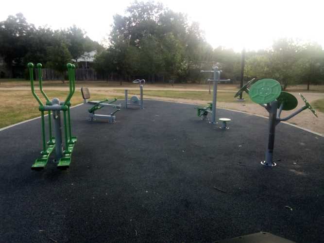
Second from the left in the second picture is a body weight rowing machine. I unabashedly love this thing and might ask it to prom. A really good, solid piece of equipment that gave me a great strength and cardio workout in only 2 or 3 minutes of use. I’ve only seen one other example of this in my life, so it was a real privilege to find one here.
Getting back on the trail, the next big landmark was the trailhead at 51st Street. To call it a trailhead was being charitable. It mainly consisted of parking spots, which was nothing to sneeze at but also nothing overly impressive. There was a small fitness area though, so it’s got that going for it, which is nice.
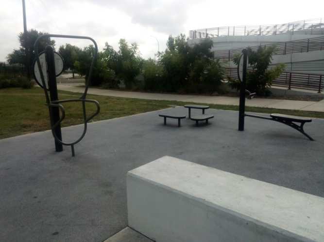
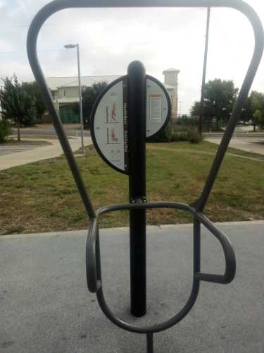
Directly across the street from the trailhead was the YMCA on 51st Street. Frustratingly, there was a kiosk in front of the YMCA. This meant that in order to see all of the kiosks you needed to bounce back and forth across the street multiple times. And, just to drive this point home, remember that this trail goes along next to a one-way service road that is next to a pretty big roadway with the service road in the opposite direction next to that. You needed to cross all of that to get from one side to the other.
About a half mile from that kiosk, on the opposite side of the street once again, was a cool four-panel exhibit about civil rights in Austin. The four panels were arranged in a semicircle on the northwest corner of the MLK / 183 intersection. Here is one of those panels.
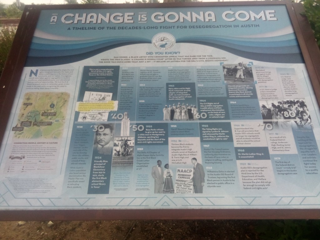
At this point you may have noticed that I showed you two kiosks and they both deal with minority pride and history. It probably won’t surprise you to learn that East Austin is home to a large population of minorities. However, it may surprise you to find out why that’s the way it is.
Let’s take another small side quest to learn all about the Austin Master Plan of 1928. Before Austin was the weird place where everyone lived in skyscrapers and did stand up paddleboarding, it was just a small but growing Texas city. Blacks in Austin lived in several enclaves all across the city called freedsmen towns. White Austin did not like the idea of so many black residents spread across the area. The 1928 city plan was an excuse to make sure freedsmen towns all over Austin got no support from the city, in an effect to drive all black Austinites into east Austin, where the largest concentration already was. To quote directly from the plan itself:
There has been considerable talk in Austin, as well as other cities, in regard to the race segregation problem. This problem cannot be solved legally under any zoning law known to us at present. Practically all attempts of such have been proven unconstitutional.
In our studies in Austin we have found that the Negroes are present in small numbers, in practically all sections of the city, excepting the area just east of East Avenue and south of the City Cemetery. This area seems to be all Negro population. It is our recommendation that the nearest approach to the solution of the race segregation problem will be the recommendation of this district as a Negro district.
Cough, redlining, cough. The systematic coerced migration of black Austin to the eastern edge of the city was only exacerbated when Interstate 35 replaced East Avenue and bisected the city like a scar. This just made it easier for white Austin to improve and grow while denying those same resources to minority Austin. Just remember that whenever “they” say the things that happen now don’t have powerful, lasting ramifications – they do in fact have powerful, lasting ramifications that outlive most people’s memories of the things that occurred in the first place.
South of MLK after a few miles I came to Boggy Creek. There was a stairway down from 183 to get closer to the creek and see some greenery. Here is a picture showing the creek water level.
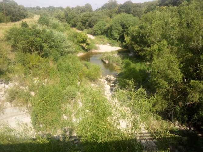
It was here at Boggy Creek where I saw a group of maybe five or six birds circling overhead. They were about half a mile away and pretty far up in the sky, so I was not able to identify them or get any photos. But it did make me realize that until that point I had not seen any other birds along the trail. Being so close to such a busy roadway, the birds simply were not anywhere to be found.
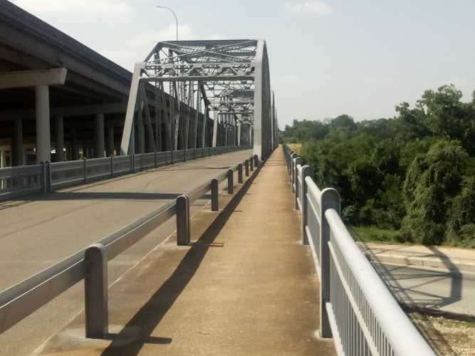
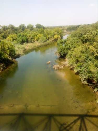
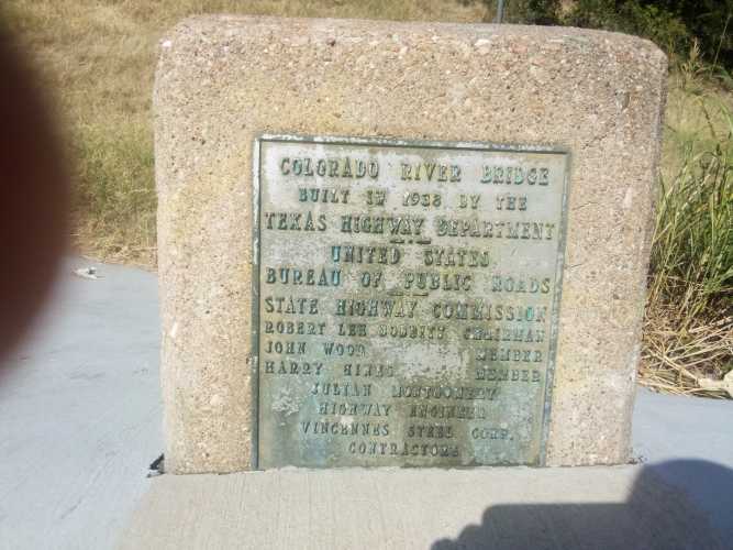
Next up was the biggest landmark on 183 Trail, the Montopolis Truss Bridge. Listed in the National Register of Historic Places, the bridge was built in 1937-38 to replace the original bridge after it was destroyed by floods. Here is a gallery of the bridge itself, the Colorado River it crosses, and a plaque from the opening. And my blurry index finger.
183 Trail continued south past the bridge all the way down to Austin-Bergstrom. As you can guess, there was a fair amount of traffic on that portion on 183. And that pretty much wrapped up the adventure for the day.
I have a few thoughts about this trail in general. It really felt like they built US 183, and then someone decided or heard about some kind of program that gave out federal grants for trails. So they tried to reach out and grab that money by sticking some signs on the side of the road and claiming this was a trail. 183 trail is not a trail, it’s just a sidewalk on the side of a road. And, you know, I have no problem with it being the latter. My only problem is when you claim to be the former.
It was a difficult trail because at every road crossing the trail sloped up to the elevated intersection, which was great because the walk was challenging. No trees meant the sun beat down constantly. I began right around sunrise, but by the last few miles the heat was nearly unbearable. I was stopping to drink water more frequently than normal. All in all; good workout, mediocre experience, but I did learn some things.
 Gene Hikes the Appalachian Trail

Leave a comment