Tag: history

  • McKinney Falls State Park

    On the twentieth of June in 2025 Governor Greg Abbott signed Senate Bill 2232 establishing October 21 as Unplug Texas Day. In 2026 we observed the second Unplug Texas Day, when Texans are encouraged to stop doomscrolling and visit their local parks and recreation centers. Conveniently for me, this year the date fell on an off-day between the end of the League Championship Series and the start of the World Series. So I decided to celebrate by planning an overnight trip to McKinney Falls State Park.

    Situated only a few miles from the airport and under 15 miles from downtown, McKinney Falls State Park is like a 700 acre oasis surrounded by urban blight. Multiple campsites and cabins are available to reserve every day right from their website, or you could pretend it is 1997 and call them. Although it can get crowded on weekends, during the week I had no trouble reserving a site only a couple of days before my check-in.
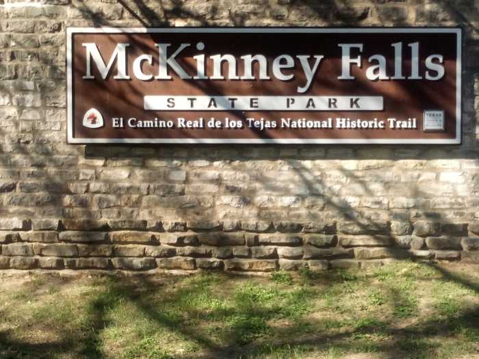
    I hiked up to the main gate and they handed me some maps and showed me where my camp was located. A spot with some flat ground, electricity, water, and a picnic table runs $24 a night. And for that price you can have up to eight people and two cars stay there. A great deal in my opinion. A day pass to just hang out in and around the park costs $6. However I didn’t have to pay that because I acquired a free Parklands Passport due to shamelessly cashing in my veteran status.
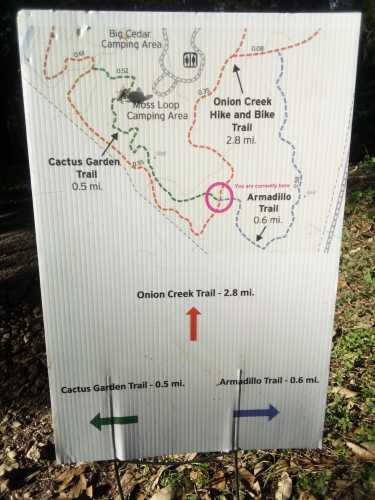
    McKinney Falls has a huge tangle of different trails, and I figured I would try a couple of smaller ones before hitting my campsite. Armadillo Trail and Cactus Garden Trail both branch off from the main trail, Onion Creek Trail, and are about a half mile long each.
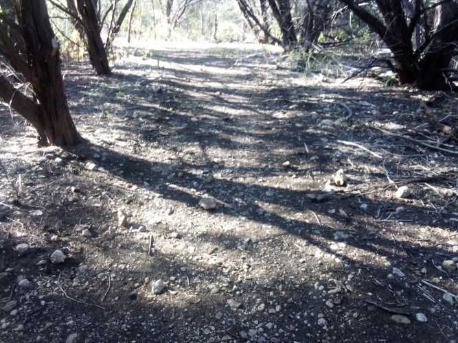
    Both trails were unpaved and had loose rocks strewn about, exactly the kind of trail I want to find more often.
    I didn’t have to traverse Cactus Garden for long before finding out why it has that name.
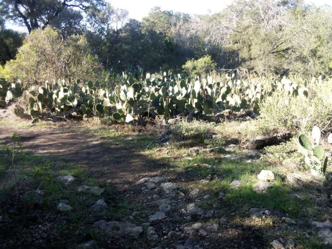
    That many prickly pear cactus can lead to an unlimited supply of bloatfly sliders. Sadly, there were no armadillos on Armadillo Trail, before you think to ask.

    Onion Creek Trail is the main trail that goes around most of the southern portion of McKinney Falls. It is paved and accommodates bicycles and all that sort of stuff. If McKinney Falls is an organism, Onion Creek Trail would be its aorta.

    As nightfall approached I finally made my way to the spot I would be calling home. As promised, it was essentially what I described above. The bare necessities. If you consider electricity a necessity, which might be the case in 2026.
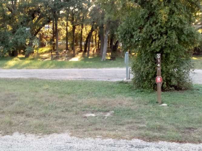
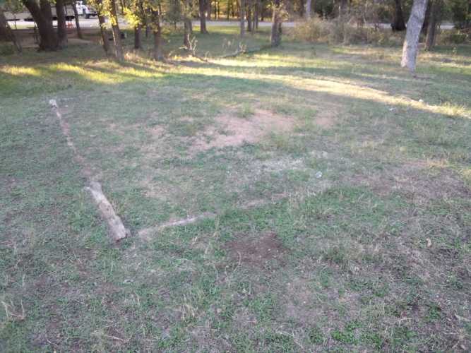
    My main reason for coming here in the first place was to stress test my gear, so the first thing I did was get my tent set up. Since it was a clear, cloudless, windless night I decided to forego my rainfly.
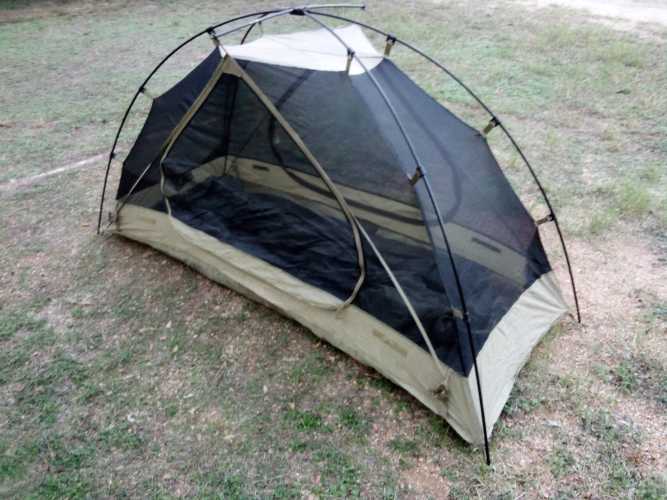
    Once I got the tent set up and had some of my humanitarian daily ration, there was nothing left to do but wait for sleepy time. Sitting at my campsite at dusk I was overcome by memories of being a kid and enjoying many an early autumn evening just like this one forty odd years ago. All that was missing was a bunch of fireflies. And my family.

    Not setting up my rainfly turned out to be a bad idea. I had left my bulky winter sleeping bag at home and only had my lighter one with me. I didn’t freeze like a meat pop but I definitely felt my toes get noticeably cold during the last few hours before sunrise. It only got down to the mid 50s too, so I need to carry my bulkiest sleeping bag and use my entire tent whenever I go out from now on.

    One thing I was worried about was whether or not I needed a sleeping pad. I had not planned on buying one and never needed it. I don’t have or plan to get a pillow either, and the night at McKinney Falls justified that decision as well.

    Now seems like as good a time as any to talk about my backpack. I am using a 60 liter pack I bought from Walmart. That makes not bringing my warmest sleeping bag even more annoying, I absolutely had room for it and just left it at home because I’m lazy. This pack is great so far; it fits me well, is adjustable, has tons of pockets, and cost well under $100. I might make a post about it later, it’s that awesome.

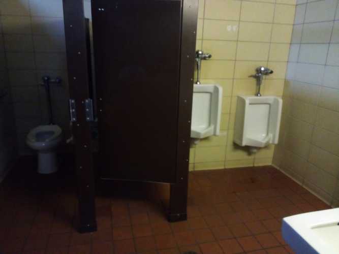
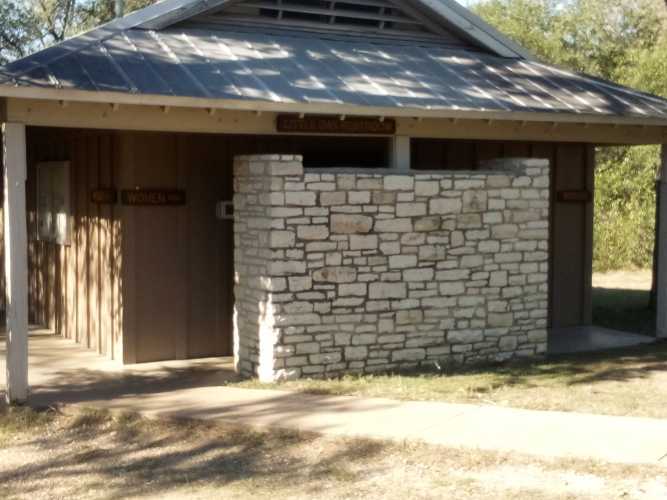
    Once I woke up and packed up it was time to head out. I cleaned up a little at the cabin that acted as a shared bathroom for all the different camps in the area. The bathroom was incredibly clean and had more than enough toilet paper. Perfect time for a gallery.

    I spent most of the morning meandering around along Onion Creek Trail with no particular purpose. That wound up being a great thing because it led to some pictures of some northern cardinals.
    These are obviously not great pictures, but you know to expect that by now. Maybe once winter comes and all the leaves fall from the trees the birds will stop hiding behind them so much. Just trust me, those red patches in the shots above are cardinals.

    Now for some facts about northern cardinals. Their scientific name is Cardinalis cardinalis. When an animal has the same genus and species name it is called a tautonym. There are, surprisingly, a lot of animals that are tautonyms. Here is a small sample of some of my favorites:

    • Gorilla gorilla (Western gorilla)
    • Dives dives (melodious blackbird)
    • Iguana iguana (American iguana)
    • Anthrax anthrax (bee fly)
    • Lactarius lactarius (False trevally)

    False trevally is a pretty interesting story. It is a fish that looks like a trevally, but is not actually related to them. It belongs to an entirely different family (Lactariidae) of which it is the only member. And yes, I am aware that whole story has nothing to do with cardinals.

    The northern cardinal is the state bird of seven U.S. states, more than any other bird. They are also very defensive, known to attack their own reflection in a window. Maybe that is why so many teams use them as a mascot. Cardinals also love eating sunflower seeds, so you should use them in your feeder. Maybe I need a feeder, maybe then birds wouldn’t actively avoid me while my camera is in my hand.
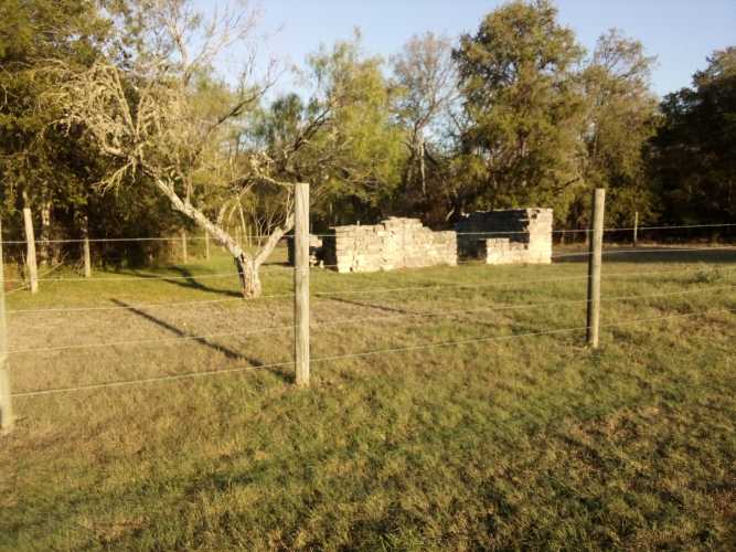
    I also saw the remains of this old horse trainer’s cabin. Now is the portion of this post where I regale you with a tiny bit of central Texas history. McKinney Falls is named for Thomas McKinney, who built his homestead there in the mid-nineteenth century. McKinney was a businessman and entrepreneur who helped fund the Texas Revolution in 1835-36. He then became a politician and served in the Texas House of Representatives. He enjoyed raising and riding horses, which explains the horse trainer’s cabin on his property.

    McKinney sided with the Confederacy during the Civil War and ultimately got ruined when the South was defeated. He lost his fourteen slaves, which made it way harder for him to raise and train horses. That’s a shame. Anyway, he died in debt and in 1976 his old stomping grounds became a state park.

    McKinney’s homestead sat at the confluence of Onion Creek and Williamson Creek. Williamson Creek is named for Robert McAlpin Williamson, who is also the namesake of Williamson County, which sits immediately to the north of Travis County. A noted jurist and politician, Williamson was reportedly the first white man to ever learn to play the banjo. He was also known as “Three-Legged Willie” because of his enormous schlong. Okay, actually it was because he used a prosthetic wooden leg due to a childhood illness. You can see why he got the name if you check out his statue in Georgetown.
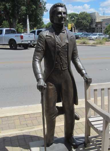
    But never let the truth get in the way of a good story. For all we know, he was packing some epically oversized man-meat. Everything is bigger in Texas after all.

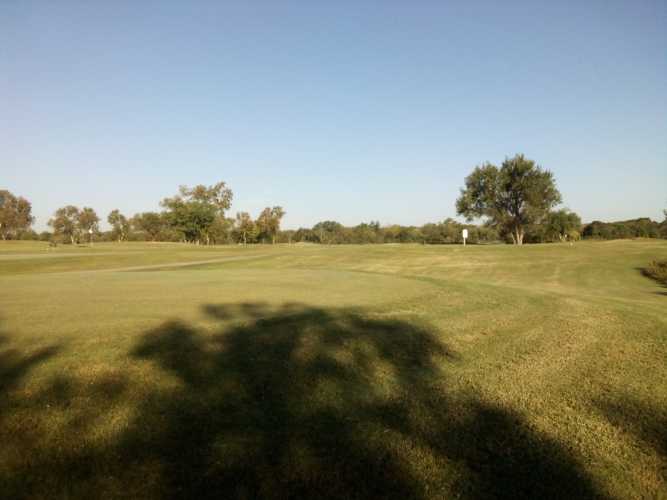
    I got some nice shots of the creek as well as a shot of a golf course on the other side of the creek from the park. I probably wasn’t supposed to go onto the golf course, but I am a rebel like that.
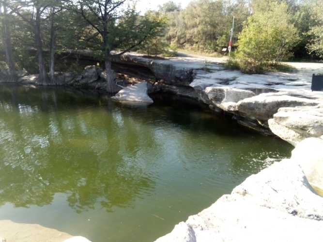
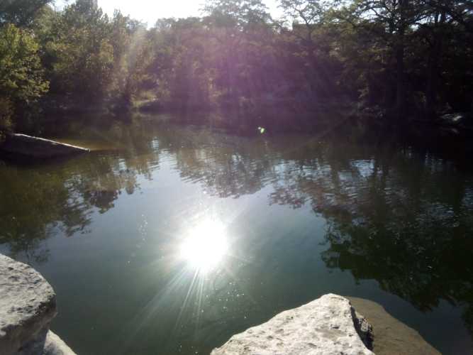
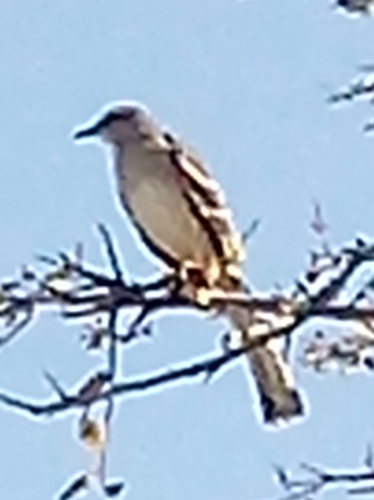
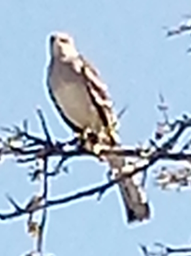
    Lastly, as I was getting ready to hike out I caught a massive break from the universe. This one bird just decided to plop down on the top of a tree right next to me. Right at the top where no branches or leaves could block it. And it just sat there and let me take picture upon picture of it. This little birdie definitely wins star of the show for the entire trip.
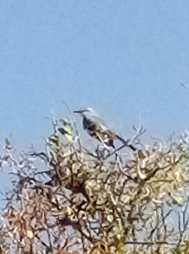
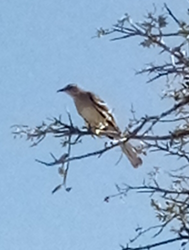
    I am not 100% sure, but I’m reasonably comfortable saying this is a northern mockingbird. That is the official state bird of six states, second most in the USA. In addition to mimicking other birds, they can also imitate frogs, toads, and music. As far as diet, they prefer insects and fruit.

    I had the good sense to know when I was ahead and quickly leave the park after that. I’m pleased as punch with how all my gear held up over the weekend. Eager to try another overnight in colder conditions or maybe even rain to test my gear, and myself, even more.
  • 183 Trail

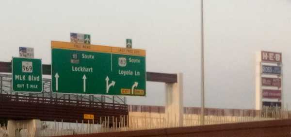
    To start 183 Trail you just start walking south from somewhere near the intersection of US 183 and US 290 along the 183 service road.

    Service roads are a concept I had never heard of before moving to Austin, but I think they’re neat. Any major thoroughfare in Texas has a surface street running parallel to it where businesses live and which you can use to go wherever the highway goes without having to actually get on the highway and deal with highway driving. Obviously, you want to use the highway to go more than 5 miles, but for short trips I always choose to stay on the service road.

    This time I threw on the 25 lb. pack and headed out to 183 Trail. This trail was appealing because it measures 10 miles running north-south alongside 183 and 183 Toll Road between northern Austin and the airport. While the other trails I’ve done so far (walnut creek, shoal creek, etc) have all been maintained by Austin Parks Foundation, 183 Trail falls under the purview of the Central Texas Regional Mobility Authority (CMRTA). This means there are some good and (mostly) bad differences between this trail and all of the other ones I’ve talked about previously.

    A quick aside here. For reasons I do not entirely understand, 183 service road has four different names throughout Austin proper. It is referred to as Research Boulevard, Anderson Lane, Ed Bluestein Boulevard, and Old Bastrop Highway depending on exactly where you are standing when you are speaking. So as not to confuse anyone reading this, I’ll refer to it only as 183 service road. But just know that here in Austin no one ever does this.

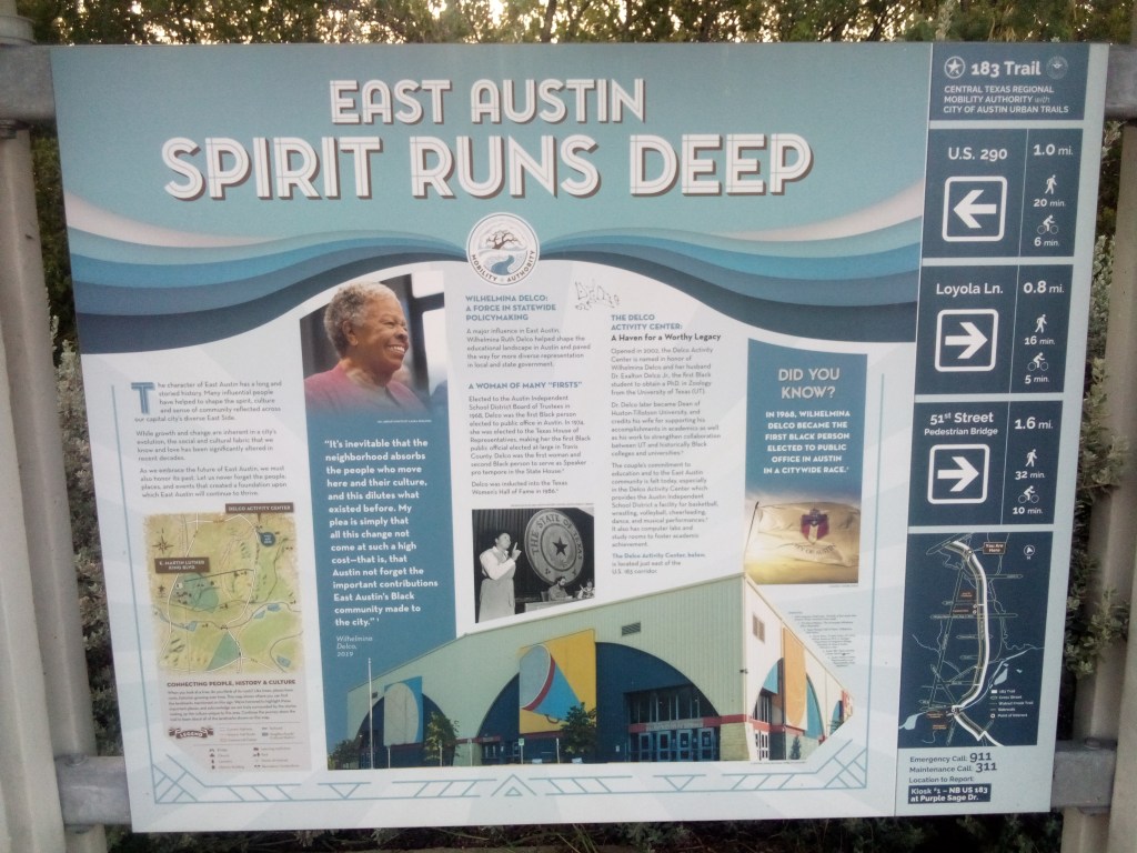
    There was no “mile zero” signpost at the beginning of the trail, but there was this informational billboard on the roadside about a mile south of 290. The trail itself referred to these as kiosks, and this was the first one.

    click to enlarge

    I cannot emphasize this enough. If I had not seen this kiosk, I would have had no idea I was on an actual trail. This was just sidewalk on a busy service road. Cars were whizzing by and the noises of a morning commute filled the air. Most of the time there was no protected bike lane, just a little portion of the service road shoulder carved out.

    It continued pretty much exactly like this until I got to Loyola Lane and saw a sign for Davis-White Park. Since the trail was proving to be underwhelming, I figured I would undertake a side quest.

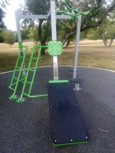
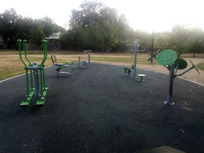
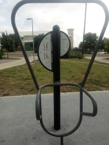
    Davis-White Park was named for Willie Ray Davis and Louie White, the first black captains of the AFD and APD. It is almost 20 acres and contains a 1/2 mile walking loop, large open spaces, playgrounds, and there was a food truck there at like 7:45am. Looking back, I probably should have taken some pictures of all that, because it was a pretty cool place. Oh well. I did get some pictures of the outdoor fitness station there. Because of course I did.

    Second from the left in the second picture is a body weight rowing machine. I unabashedly love this thing and might ask it to prom. A really good, solid piece of equipment that gave me a great strength and cardio workout in only 2 or 3 minutes of use. I’ve only seen one other example of this in my life, so it was a real privilege to find one here.

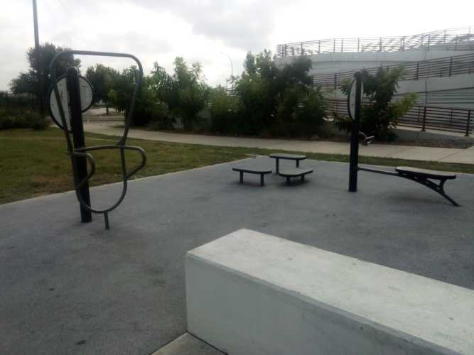
    Getting back on the trail, the next big landmark was the trailhead at 51st Street. To call it a trailhead was being charitable. It mainly consisted of parking spots, which was nothing to sneeze at but also nothing overly impressive. There was a small fitness area though, so it’s got that going for it, which is nice.

    the dip / pull-up station on the left looks like modern art
    2026. Plastic and metal on concrete.

    Directly across the street from the trailhead was the YMCA on 51st Street. Frustratingly, there was a kiosk in front of the YMCA. This meant that in order to see all of the kiosks you needed to bounce back and forth across the street multiple times. And, just to drive this point home, remember that this trail goes along next to a one-way service road that is next to a pretty big roadway with the service road in the opposite direction next to that. You needed to cross all of that to get from one side to the other.

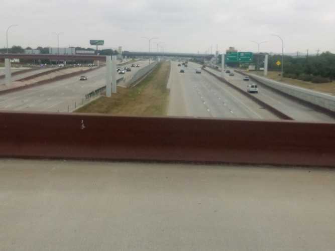
    view from a pedestrian bridge over 183

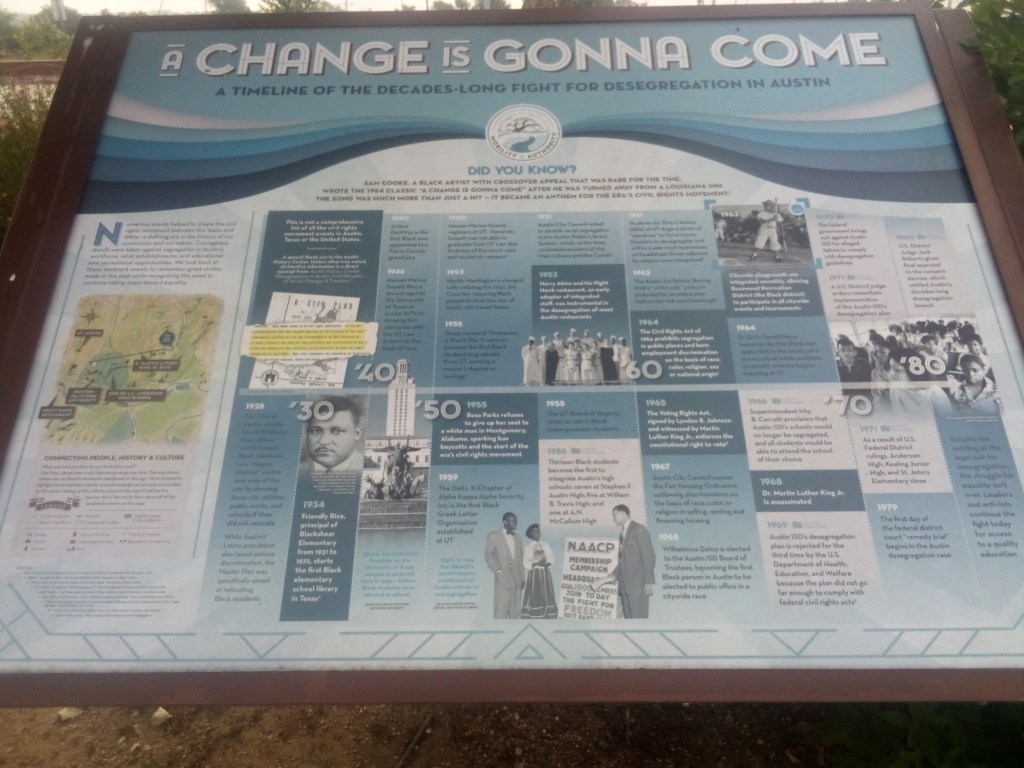
    About a half mile from that kiosk, on the opposite side of the street once again, was a cool four-panel exhibit about civil rights in Austin. The four panels were arranged in a semicircle on the northwest corner of the MLK / 183 intersection. Here is one of those panels.

    click to enlarge

    At this point you may have noticed that I showed you two kiosks and they both deal with minority pride and history. It probably won’t surprise you to learn that East Austin is home to a large population of minorities. However, it may surprise you to find out why that’s the way it is.

    Let’s take another small side quest to learn all about the Austin Master Plan of 1928. Before Austin was the weird place where everyone lived in skyscrapers and did stand up paddleboarding, it was just a small but growing Texas city. Blacks in Austin lived in several enclaves all across the city called freedsmen towns. White Austin did not like the idea of so many black residents spread across the area. The 1928 city plan was an excuse to make sure freedsmen towns all over Austin got no support from the city, in an effect to drive all black Austinites into east Austin, where the largest concentration already was. To quote directly from the plan itself:

    There has been considerable talk in Austin, as well as other cities, in regard to the race segregation problem. This problem cannot be solved legally under any zoning law known to us at present. Practically all attempts of such have been proven unconstitutional.


    In our studies in Austin we have found that the Negroes are present in small numbers, in practically all sections of the city, excepting the area just east of East Avenue and south of the City Cemetery. This area seems to be all Negro population. It is our recommendation that the nearest approach to the solution of the race segregation problem will be the recommendation of this district as a Negro district.

    Cough, redlining, cough. The systematic coerced migration of black Austin to the eastern edge of the city was only exacerbated when Interstate 35 replaced East Avenue and bisected the city like a scar. This just made it easier for white Austin to improve and grow while denying those same resources to minority Austin. Just remember that whenever “they” say the things that happen now don’t have powerful, lasting ramifications – they do in fact have powerful, lasting ramifications that outlive most people’s memories of the things that occurred in the first place.

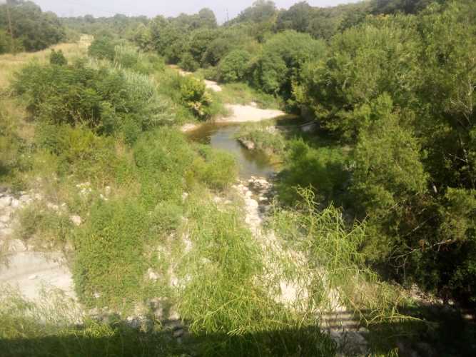
    South of MLK after a few miles I came to Boggy Creek. There was a stairway down from 183 to get closer to the creek and see some greenery. Here is a picture showing the creek water level.

    It was here at Boggy Creek where I saw a group of maybe five or six birds circling overhead. They were about half a mile away and pretty far up in the sky, so I was not able to identify them or get any photos. But it did make me realize that until that point I had not seen any other birds along the trail. Being so close to such a busy roadway, the birds simply were not anywhere to be found.

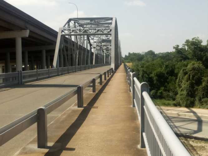
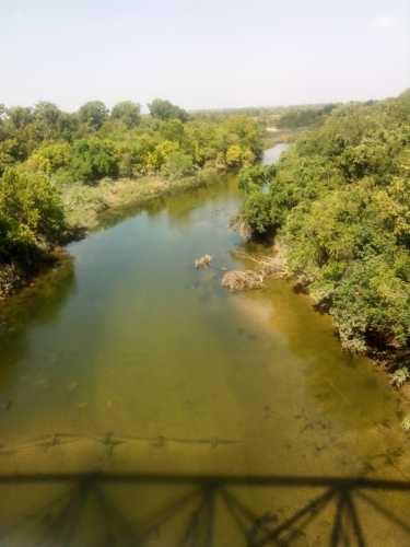
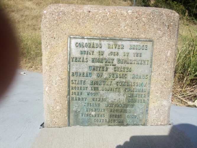
    Next up was the biggest landmark on 183 Trail, the Montopolis Truss Bridge. Listed in the National Register of Historic Places, the bridge was built in 1937-38 to replace the original bridge after it was destroyed by floods. Here is a gallery of the bridge itself, the Colorado River it crosses, and a plaque from the opening. And my blurry index finger.

    183 Trail continued south past the bridge all the way down to Austin-Bergstrom. As you can guess, there was a fair amount of traffic on that portion on 183. And that pretty much wrapped up the adventure for the day.

    I have a few thoughts about this trail in general. It really felt like they built US 183, and then someone decided or heard about some kind of program that gave out federal grants for trails. So they tried to reach out and grab that money by sticking some signs on the side of the road and claiming this was a trail. 183 trail is not a trail, it’s just a sidewalk on the side of a road. And, you know, I have no problem with it being the latter. My only problem is when you claim to be the former.

    It was a difficult trail because at every road crossing the trail sloped up to the elevated intersection, which was great because the walk was challenging. No trees meant the sun beat down constantly. I began right around sunrise, but by the last few miles the heat was nearly unbearable. I was stopping to drink water more frequently than normal. All in all; good workout, mediocre experience, but I did learn some things.