Tag: adventure

  • Solidarity

    I had been excited for the merry, merry month of May. I planned to use this month to start making some purchases that I’ll need for my thru-hike next year. I already have a lot of the things I’ll need, but I definitely have a wish list as well.

    1. One large backpack (somewhere around 55-65 L)
    2. One sleeping bag
    3. One or two pairs of those cool hiking pants with the legs you can unzip and then they become shorts (seems like they are called “convertible hiking pants”)
    4. One entrenching tool or similar multi-purpose shovel / axe thing
    5. One tablet computer, to make blogging on the trail easy

    I actually pretended to be an adult and budgeted $400 this month to purchase a few of those items. Why did I choose this month specifically? Well, because this month is the big, exciting REI Anniversary Sale! The one time all year when the greatest outdoor store in the world has their best prices for their loving customers and members. Imagine my shock and disappointment when I found out that there was a planned boycott during the sale.

    Lots of crazy people yell at the rain and call for boycotts for all sorts of dumb reasons. Those boycotts usually go unnoticed by right-minded individuals. This boycott, however, comes from the members and workers of REI itself. Therefore it seems worthwhile to hear about why they are doing it.

    REI (Recreational Equipment, Inc) began in 1938 in Seattle as a co-operative founded to allow outdoorsmen and women a way to get quality camping and hiking gear at affordable prices. From that humble beginning REI became one of the leading outdoor retailers in the country. It was able to parlay the public’s love for the outdoor industry into millions of dollars in profits every year while still maintaining its core principles as a co-op. Great benefits for workers and members, money to spend promoting the outdoors and protecting the environment, and some left over to line the executives’ pockets.

    COVID-19 brought changes for REI the company and the public image of REI. The first cracks in the corporate image facade appeared as lax enforcement of CDC guidelines and COVID-19 safety protocols. Things like not being transparent with workers about who had the illness and having workers work too closely with one another.

    Still though, the bottom line continued to perform to expectations. After a down year in 2020 (like nearly everyone else), REI made $3.7 billion in revenue with a net income of $97.7 million in 2021. By 2022 revenue increased to a record $3.9 billion. However, income was a net negative of $164.7 million. Equally important in 2022, the REI store in SoHo, Manhattan (New York City, not Kansas) voted to become the first union store. The execs in the suits were less than pleased with the associates in the green vests.

    As more stores unionized the company became colder and colder to their workers. Among other things, REI quietly settled a charge of attempted union busting in at least one location.

    By 2025 the company went full mask off and left their co-op ideals behind. REI initially supported Doug Burgum for U.S. Secretary of the Interior. Having this billionaire, business-first, ex-management consultant in charge of the nation’s public lands and wildlife is literally letting the fox into the hen house. REI also tried to pass a slate of corporate yes-men to their board of directors. However, that was voted down by REI’s members. No problem though. REI changed its own rules and packed the board with a bunch of yes-men anyways.

    Now in 2026 the eleven total unionized stores are finding it harder and harder to work with REI. Ever since May 2025 they have been attempting to collectively bargain a contract. The most recent offer from REI was overwhelmingly rejected by the union in February 2026. REI then declared an impasse and wants to unilaterally institute wage and benefit cuts across all stores on the 1st of July. Feeling that they were left with no choice, the union along with REI members called for a boycott of this year’s Anniversary Sale. This is a boycott, not a strike, since a strike would only affect the 11 unionized stores but a boycott can be felt across all stores during the biggest time of the year.

    I linked to information about the boycott above, but I’m linking it again here as well. Please also read the many articles I’ve linked above, because I’m not a journalist and I feel like you should read some of them yourself instead of just skimming my overly brief summations.

    So bringing this back around to me, it really sucks that this is happening. It sucks for the workers at REI. It sucks for me because I’ll support their union and their cause but I’ll need to find somewhere else to shop for my wish list. But I’m happy to do it if it helps support their union cause.
  • North Walnut Creek Trail

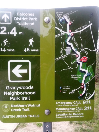
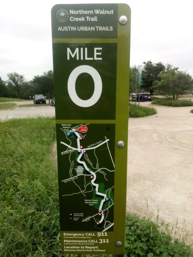
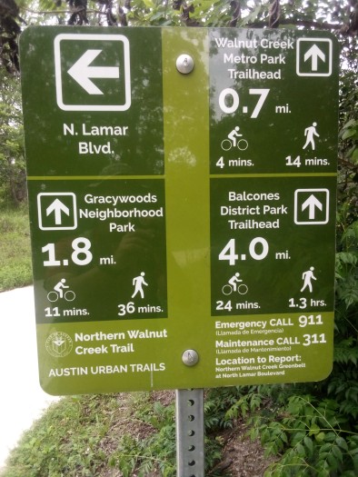
    So I threw the old backpack on again and headed out to North Walnut Creek Trail, which you should have been able to figure out from the title. This is the northern portion of the Walnut Creek Trail System, a not-yet-completed trail which will extend 19 miles across northern and eastern Austin when finished. I picked up the trail on Lamar Boulevard just north of Oakbrook and four miles from Balcones District Park. This made for a nice eight mile round trip, and since it took me a few miles to get to my origin this wound up being 11 or 12 total miles of hike.

    This entire trail was paved and very wide, easily accommodating walkers, bikers, strollers, and even a maintenance pickup truck. I probably should have taken a picture of the truck, but I didn’t so you’ll just have to trust me.

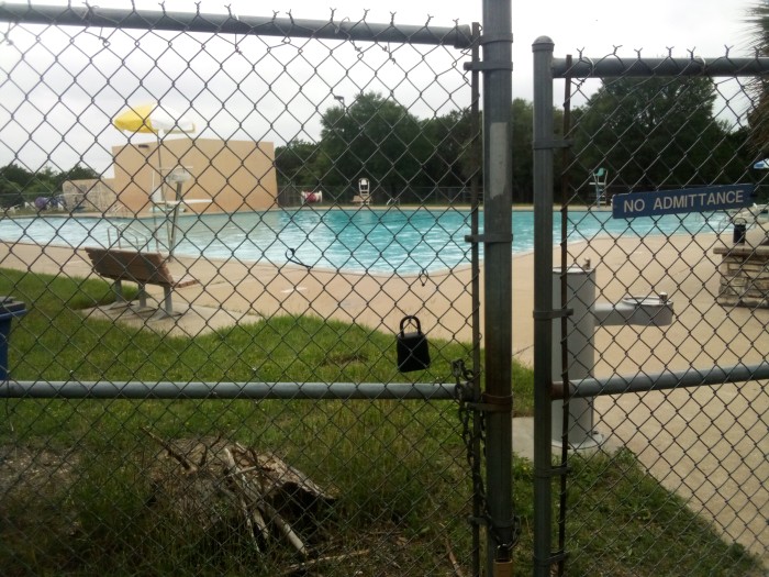
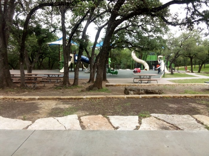
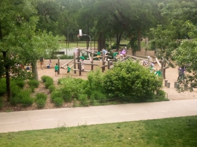
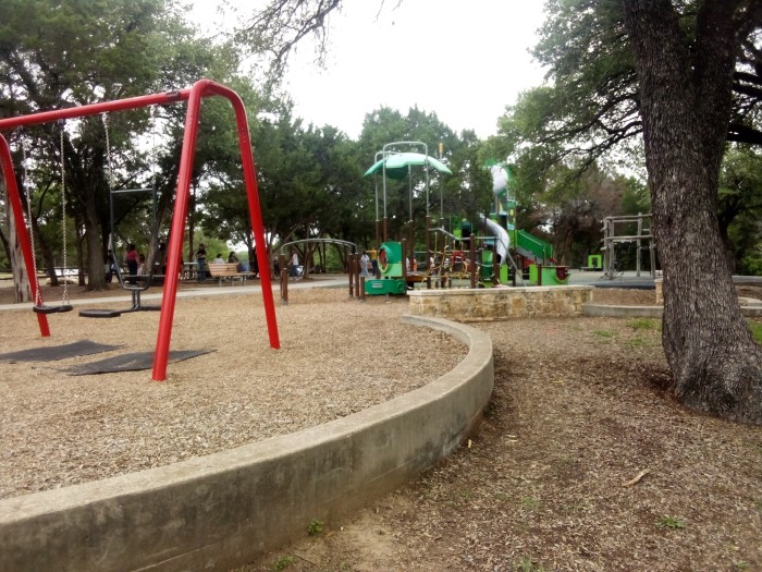
    Not long after I started I came upon Walnut Creek Metro Park, the first of three trailheads on my route. With ample parking, a gated pool, and a kids’ play area the location seemed like a good place to chillax for a while but I quickly sped through.

    Along this trail there were lots of unpaved side trails that promised adventure. Trails with exciting names like Log Loops Trail and Ski Slope Trail. However I was unusually focused on completing the main hike and not on doing any side quests. I did see lots of mountain bikers going back and forth between the trails so they are obviously very popular.

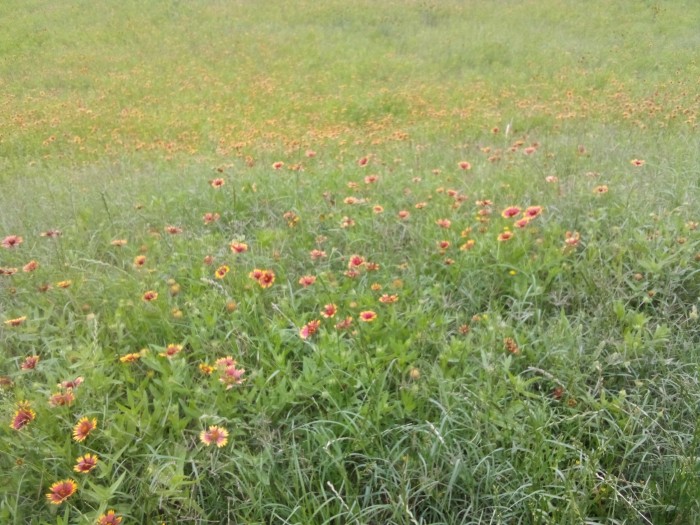
    The next significant marker I came across was Gracywoods Neighborhood Park Trail. I did do a small detour thinking there would be a nice neighborhood park nearby. Nope, I was dead wrong. The only thing I saw on the trail was the backs of some apartment buildings. I did come across a meadow with some cool flowers. I know I must be spending more time outside than usual when I use “cool flowers” in a sentence without a hint of irony or sarcasm.

    These flowers are known as gaillardia, and they bloom pretty ubiquitously in central Texas. Actually, all across Texas. They are bright and low maintenance and can handle hot weather. It rained way more than usual in April so these and other flowers have been shooting up all over the place. The cloudy weather lingered during my hike, which explains the grey skies in all my pictures.

    Once I got back on the main trail I was treated to the best mile or so of the day. The walkway went through a wooded area that was shielded from any urban noises and became like a secluded country trail. I passed by some young ladies hanging out in a gazebo and smoking reefer. Or is it “the reefer”? This was a great stroll and it saddened me immensely when I came upon Gracywoods Trailhead, the second of three trailheads, at Metric Avenue.

    Metric Avenue, but they still measure speed in mph

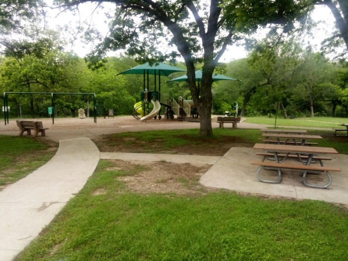
    Gracywoods Trailhead had its own play area. I gave everything a try but I honestly have to give it low marks. The swings were too low and the slides were too narrow. I don’t think anyone over the age of ten would enjoy playing there. Zero of ten stars. The benches did work though, which is always a plus.

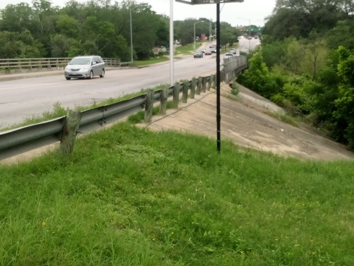
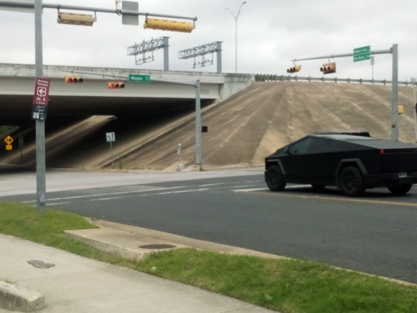
    The next big landmark on the way to the end was crossing underneath MoPac. I took a picture because there was one of those hideous Cybertrucks at the intersection. MoPac is one of the main roads north-south in Austin. It has express lanes that can be accessed if you pay a toll. And by “express” I just mean everyone in those lanes likes to “express” themselves by flipping you the bird or honking repeatedly like a siren.

    When I first moved to Austin the second question I asked my friends was why is it called MoPac. The answer is because the road follows roughly the same path as the old Missouri Pacific Railway. By the way, the first question I asked was why is everything freaking thing named after Mirabeau Buonaparte Lamar? The answer: because he was a bad ass soldier, politician, and poet. He was also a bigoted racist who did more to harm the Native American cause than almost any other Texan, which also must be mentioned.

    From MoPac on to the third and final trailhead was not much to write home about. It wasn’t bad, just nothing worthy of addition to a blog. The trail got noticeably steep for the last half mile or so. Then I finally reached the third trailhead at Balcones District park.

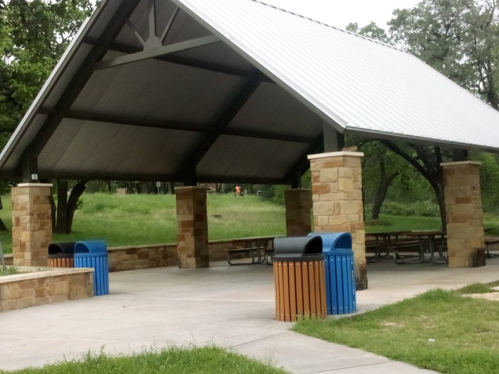
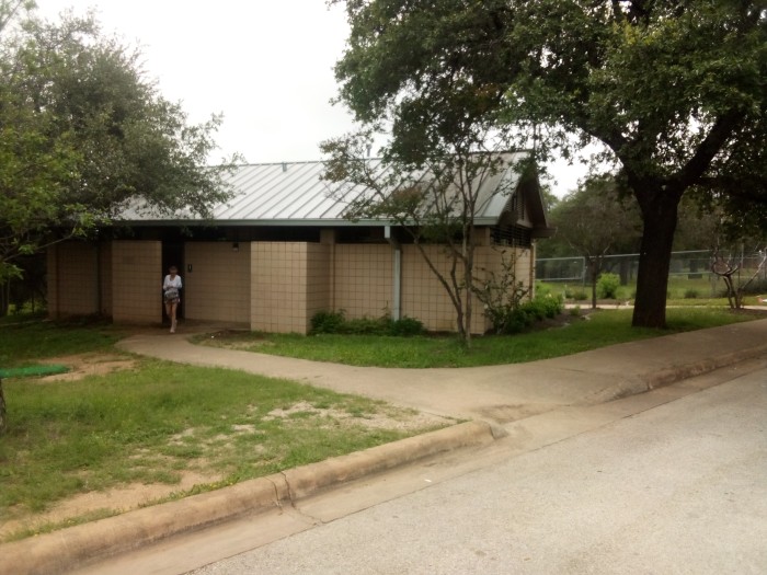
    Balcones District Park is a spacious open area with clean, working toilets and multiple covered benches where you can sit or host a birthday party. And they also had a play area that I would not recommend to anyone old enough to have hair on their chest. They also had basketball courts and working water fountains. This park is a place where you can go and spend a good half a day easily. Cue a small gallery.

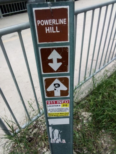
    I hung out there for about a half hour before turning around to head back. Not much happened on the return trip until I got back to almost the beginning. This time I decided to take one of those beaten trails near Walnut Creek Metro Park. I chose one called Powerline Hill.

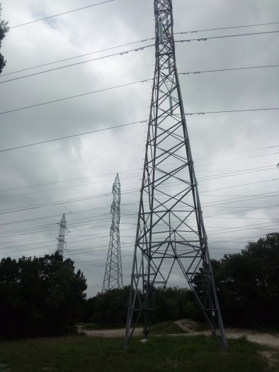
    I hoped it would be a pleasant, brief, uphill climb that would reward me with a panoramic view of part of the city. I was right about the short climb part. The view wound up just being a bunch of power lines. Oh, and a person on a mountain bike who zoomed past me on the ascent.

    Not shown: a fourth power line just off to the right

    And then I went back down and finished up. And there was much rejoicing.

  • Shoal Creek Trail

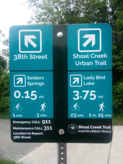
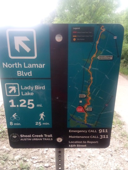
    I threw on the backpack with 25 pounds in it and went for a round trip on Shoal Creek Trail. Shoal Creek Trail goes from water’s edge of Lady Bird Lake north to 38th Street. It runs roughly parallel to Lamar Blvd and is 3.75 miles each way, so a 7.5 mile round trip. I started from the 38th Street end, which is fairly close to a Spec’s liquor store. That Spec’s used to be a Randalls supermarket. I love HEB as much as any other Texan, but I also love Randalls and since this one and the one near Arboretum closed I can’t get my fix anywhere. Enough whining about retail stores though, let’s start the trail.

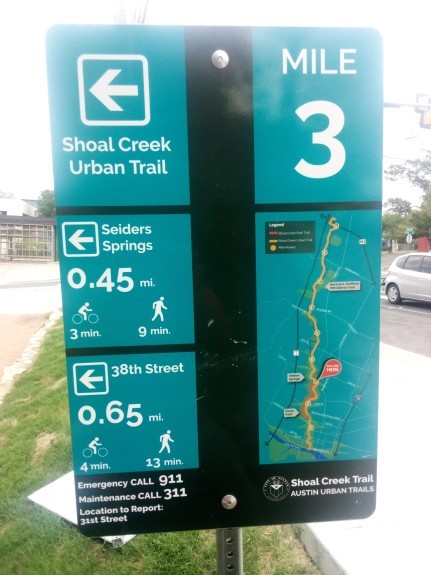
    The first sign you’ll encounter at 38th Street

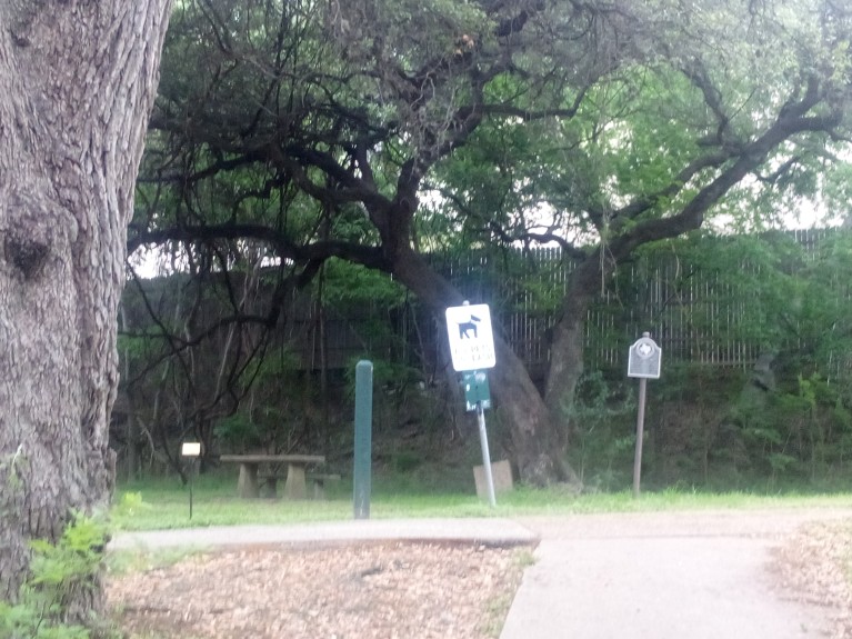
    A short ways in (0.15 miles, give or take) I came upon Seiders Springs. The biggest features of that location are the Seiders Oaks. Below you will see a picture of one of them, just behind a sign reminding people not to have their dogs off leash. You see those signs everywhere on the trail. Or rather, I see them everywhere. Judging by the amount of dogs running around off leash that day I would assume all of these signs are invisible to dog owners.

    To the left of that dog sign is a green obelisk. These things are all over the trail as markers and tell you which way to continue to get to Lady Bird Lake. Except they all say “To Town Lake”. When Longhorn Dam was built on the Colorado River (not that Colorado River) in Austin, the lake it created was called Town Lake. In 2007 it was renamed to be Lady Bird Lake after the former first lady. Most native Austinites over 40 and/or people who moved here in the early 2000s still call it Town Lake and so do these obelisks.

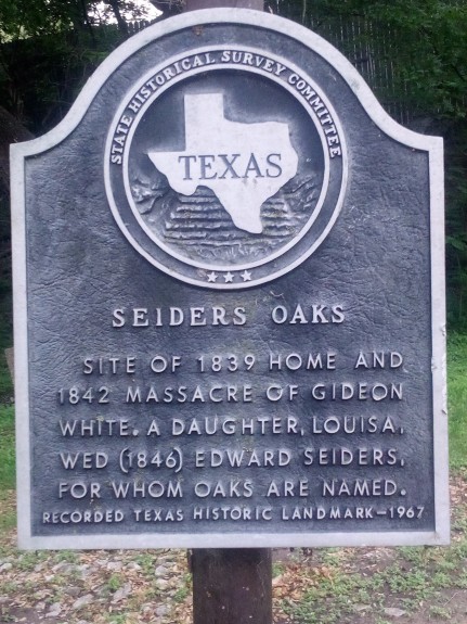
    Back to Seiders Springs. It is named for Edward Seiders (pronounced “Cedars”) who moved to the area along with his friend Gideon White. He lived in the area and was a prominent businessman in the mid-1800s. It also happens to be the site of a particularly gruesome event in 1842. Gideon White was overtaken by Indians and killed on October 25. Later, White’s daughter would marry Edward Seiders.

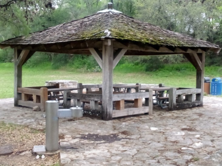
    Moving south a short distance from there I found a rest area with benches and working water fountains. Can never have enough of either of those.

    At Lamar & 31st Street was the only confusing part of the trail. While most of the trail is its own thing, just before this intersection it merges with the bike lane on Shoal Creek Blvd. The turn at Lamar to go south doesn’t have any signage; you just sort of need to know that is where you go to pick up the trail again.

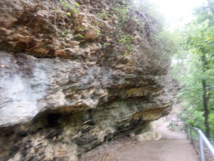
    South of 31st Street I walked past some really interesting outcroppings of rocks. I am no geologist, so I can’t tell if it is Del Rio Claystone or Buda Limestone or something else. I felt like Indiana Jones while I walked past it, so that’s good for something and I wanted to share it.

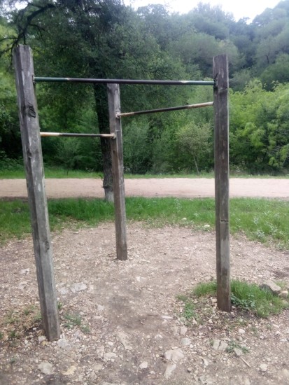
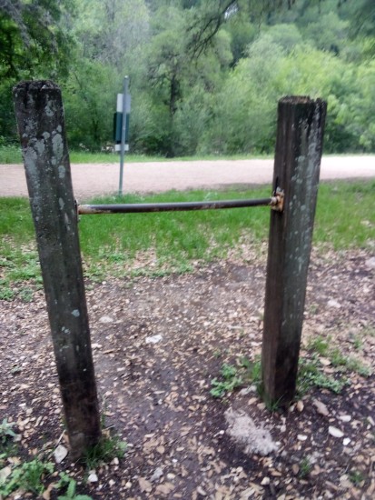
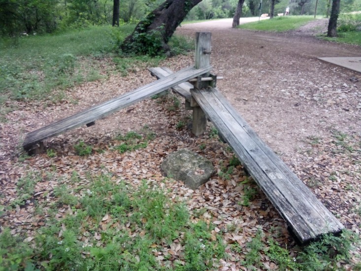
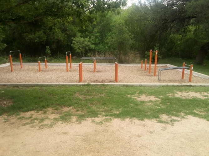
    At 29th Street there is some wooden exercise equipment. A set of pull-up bars, a waist high bar, and some benches for sit-ups. I had to bang out a dozen or so pull-ups because I’m so manly. Therefore I can proudly say that everything is nice and sturdy even though it might look old and dangerous.

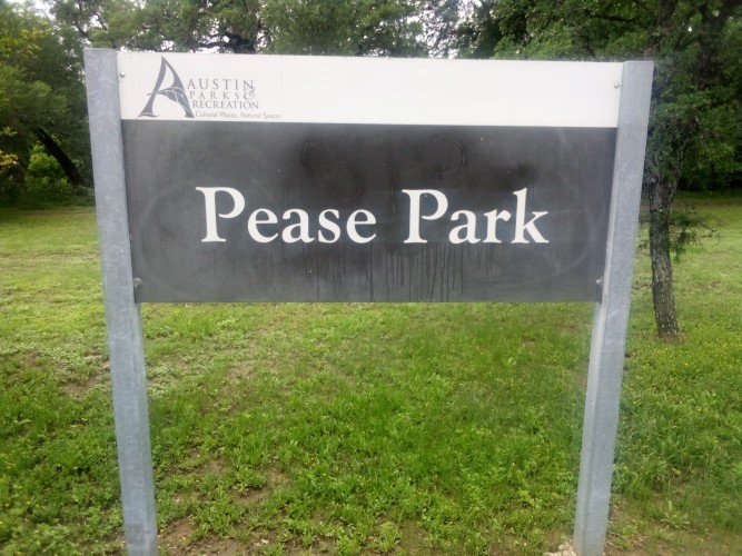
    The next landmark on the trip southward was Pease Park. It is named so because the land was gifted to the city in 1875 by Elisah Pease, the fifth and thirteenth Governor of Texas. The interesting thing about his time in the Governor’s office is that his interregnum was only from 1857 to 1867. In that time there were seven different Governors. This was during the Civil War, so Texas was going through some shit. And going through Governors like shit through a goose.

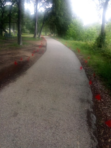
    In Pease Park there is a memorial to victims of AIDS (Acquired Immune Deficiency Syndrome) with symbolic red flags that line the trail. Those flags are left by the trail and then moved out to line the Mile of Silence for the Hill Country Ride for AIDS, which happens to be this weekend.

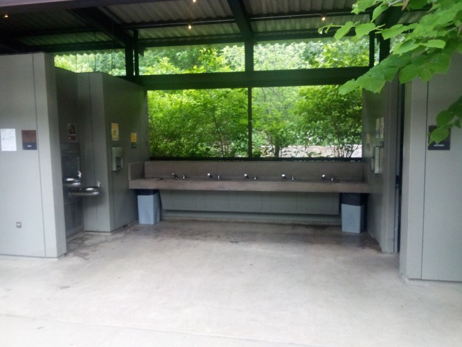
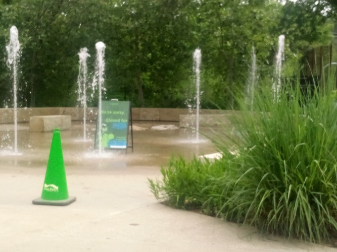
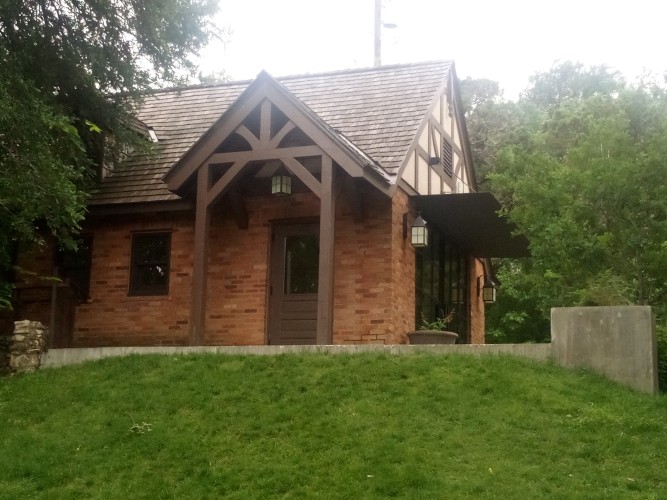
    Anyway, Pease Park is everything you’d expect from a public park. Green, lots of stuff to do. Expansive, clean, working public toilets. And even more exercise equipment, metallic instead of wooden. Play areas for kids and water fountains shooting out of the ground. There is a cottage too and all sorts of stuff. Here is another gallery.

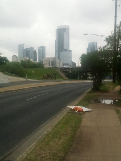
    At this point I was only 1.25 miles from the lake.

    Close enough to get a good shot of the tall buildings downtown.

    Your definition of “good shot” may not be the same as mine.

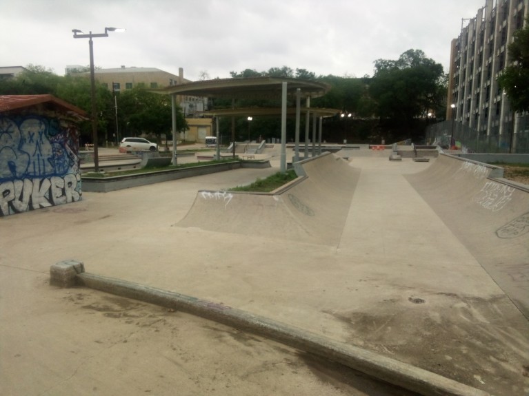
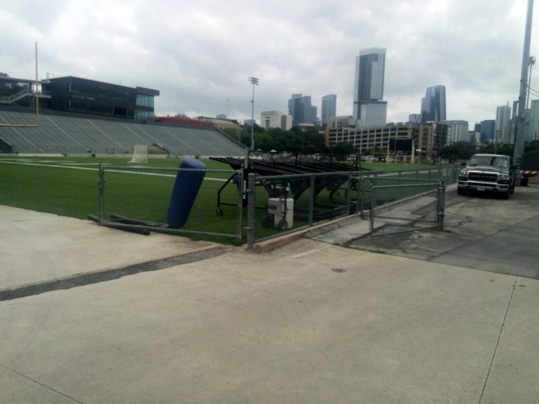
    The next interesting things were a skate park and a football field at House Park Plaza. I saw a few people hanging out and working on moves at the skate park. However I decided not to capture them in my picture, so now I’m not sure if anyone will believe me.

    House Park is a shared football field that lots of teams in AISD (Austin Independent School District) use. The Austin Sol ultimate frisbee team also play there. I used to be pretty good at ultimate frisbee. By which I mean I could throw a forehand and a backhand and the occasional hammer.
    Also, more tall buildings.

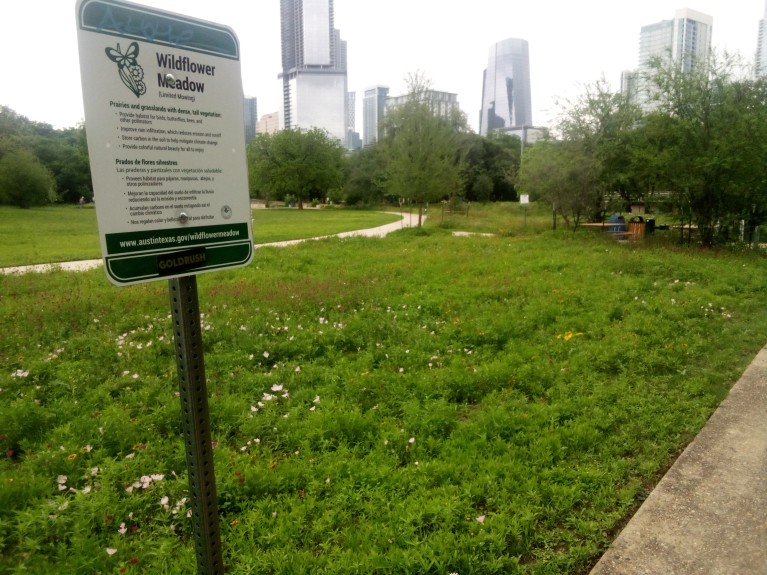
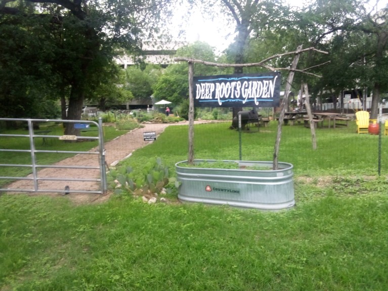
    From there to the water’s edge was a fairly straightforward walk. Because the trail goes right through the center of downtown most of the final mile is just walking alongside buildings. I did pass by a neighborhood garden and a wildflower meadow.

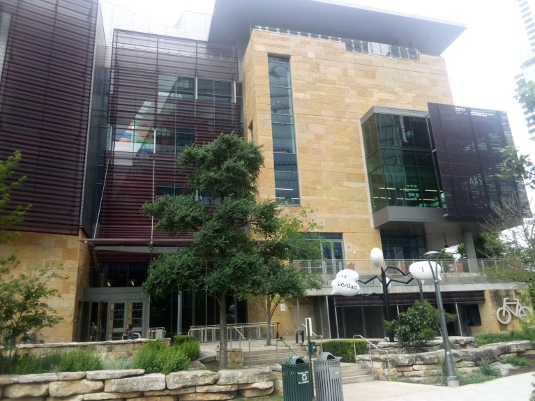
    Right as you reach the end there is the Central Library. The building is still fairly new and shiny. I miss the old library which was about a mile from the edge of the water. I loved it because it was a boxy building that looked the way a library should. This new Central Library is a happening place where people go to vibe and hang out. I prefer a library where you go to check out books and avoid eye contact with one another.

    The central library. This does not spark joy.

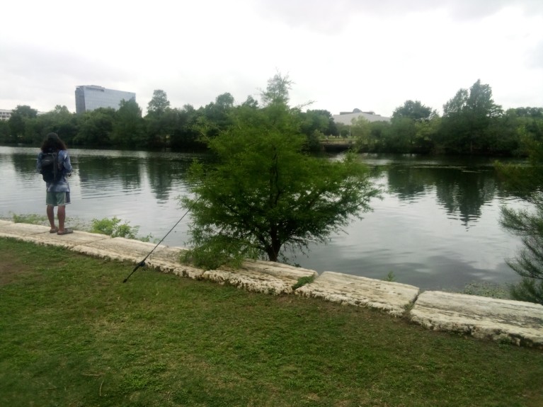
    And from there only a few hundred feet to Lady Bird Lake. I don’t know if the person in my picture was able to catch any fish.

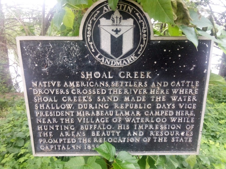
    There is a plaque at the end, in case you can’t figure it out from the fact that there is a giant ass lake there.

    The trip back to 38th Street was fairly uneventful. I admit that I was physically and mentally spent, and once I got back home I did nothing but watch baseball in the dark. I do want to call out that there is a sign at 31st Street going north that tells you exactly where to go, so the issue I mentioned earlier is exclusively a southbound problem.

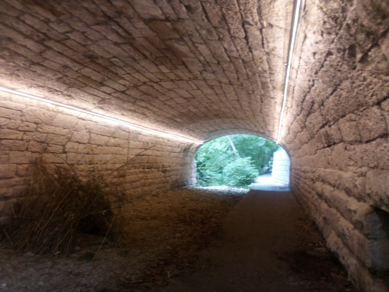
    I also wanted to call out the fact that there are quite a few underpasses along the Shoal Creek Trail. Only one of them actually has lights, and that was the one at West Sixth Street.

    It is pretty easy to find yourself in a bad situation at night in a big city so I would think more underpasses should be lit. It shouldn’t cost that much, right? Unless all the data centers need that power so the AI in my toaster can cook my bagel to the exact right color.

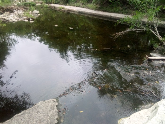
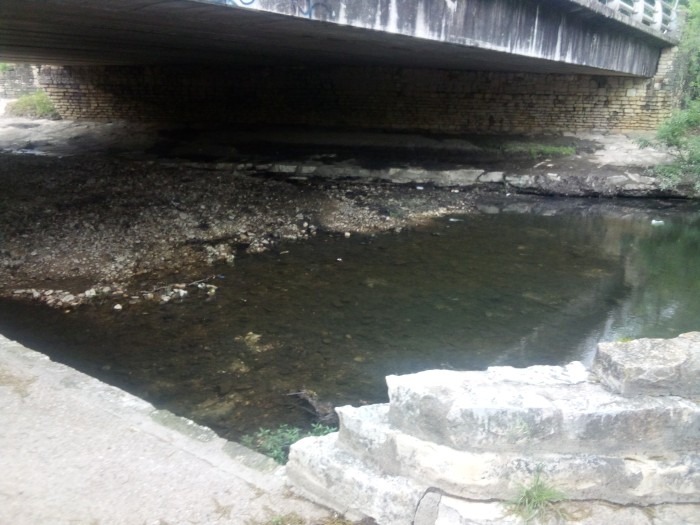
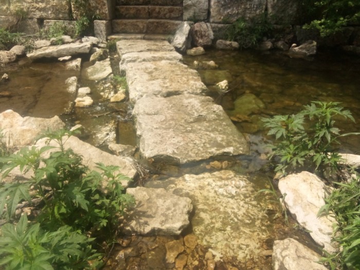
    Here at the end I’m going to include various pictures I took during the trail that show the water level of the creek. I don’t know why, but most people I talk with are obsessed with what the water level of any body of water is at any particular time. If you are one of those people, then this last collage is for you. You’re welcome.

  • A Trip To Mount Bonnell

    I decided to throw on my pack with 25 pounds in it and start a hike from 38th St and Guadalupe to Mount Bonnell (one of the highest points in the city with great views of Lake Austin). For those of you unfamiliar with Austin, this meant I was looking at about a six mile round trip. The first part of the journey was uneventful, just following 38th and 35th Streets past Lamar and MoPac and Camp Mabry. Here is the one-way route: http://www.gmap-pedometer.com/?r=7804394

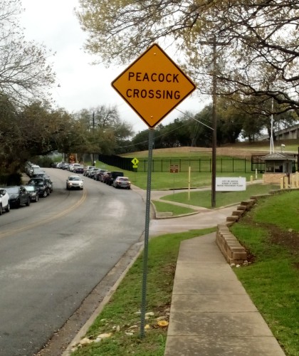
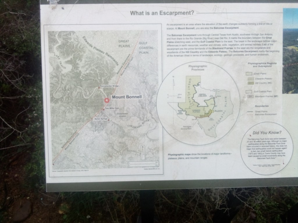
    As I continued to approach my goal I saw an unexpected Peacock Crossing sign. Not seeing any peacocks in the road, I continued on. Then came the Balcones Escarpment. I needed to climb a steep vertical height over a short lateral distance and it kicked my ass. Those of you who are not from the Austin area may not understand what the Balcones Escarpment is. Luckily for you, they had a pictograph on the summit that describes it perfectly.

    Unfortunately for you, I am a shitty photographer using a shitty camera on a shitty phone so you can’t really see what the above says. Allow me to type it out here.

    An escarpment is an area where the elevation of the earth changes suddenly forming a line of hills or scarps. At Mount Bonnell, you are atop the Balcones Escarpment.

    The Balcones Escarpment runs through Central Texas from Austin, southwest through San Antonio, and from there to the Rio Grande (Big River) near Del Rio. It marks the boundary between the Great Plains stretching west and the Gulf Coastal Plain to the east. The break in the landscape defines major differences in earth resources, weather and climate, soils, vegetation, and animal habitats. East of the escarpment are the prime farmlands of the Blackland Prairies; to the west are the rangelands and woodlands of the Hill Country and the Edwards Plateau. The Balcones Escarpment marks the beginning of the American West in terms of landscape, ecology, geologic processes, and human endeavors.

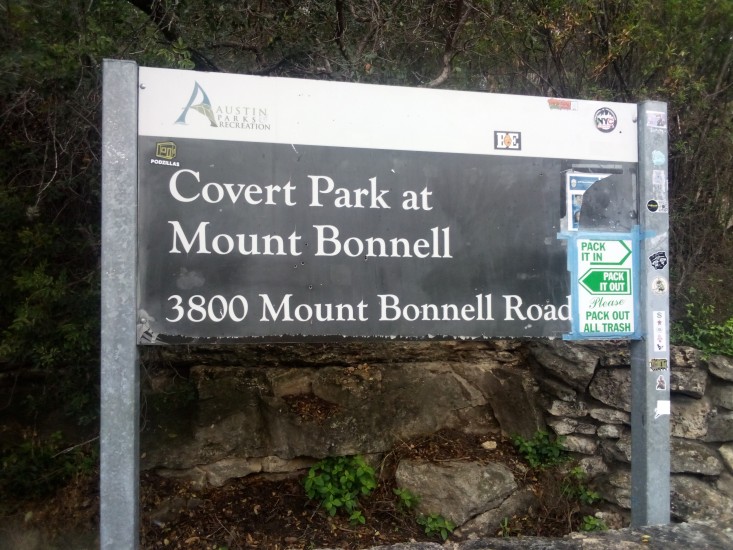
    After hiking up the steep escarpment along a narrow two-lane road with no shoulder, I came upon the base of Mount Bonnell. From there it was a nice easy 100-plus stair step journey to Covert Park at the summit.

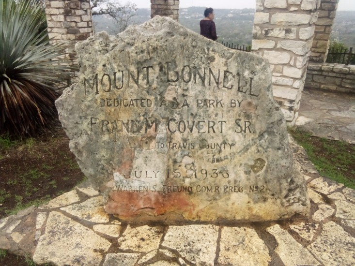
    Covert Park is named for Frank M. Covert, who was the original owner of the tract of land containing Mount Bonnell. His family gifted the area to Travis County back in the 1930s. Frank Covert is famous for opening the first automobile dealership in Central Texas. The local area is still crowded with Covert locations such as Covert Cadillac and Covert Ford. Pretty much the only name you see on the side of more buildings around here is Moody.

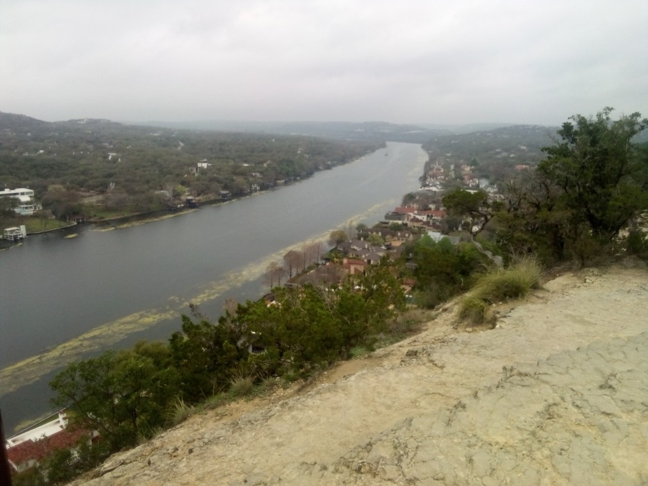
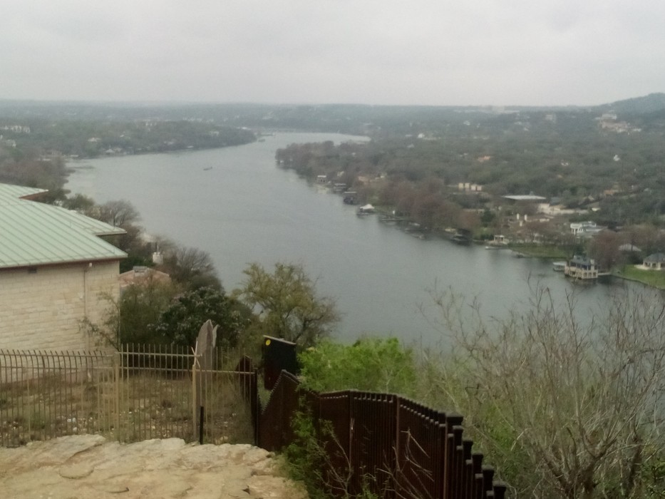
    The view of Lake Austin from the peak is awe inspiring and my photos do not do it justice. Because, once again, shitty photographer.

    The view looking northward
    The view looking southward

    After catching my breath and eating a turkey sandwich and yogurt I had packed, I trundled back down the road home. Along the way I stopped at Mayfield House and Nature Preserve. The house itself is an 1870s cottage that I did not visit, but there were some nice short trails along the water’s edge that I did partake in. They were rather relaxing and enjoyable.

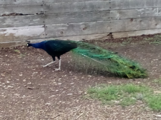
    Just as I was getting ready to leave the area I figured out why that peacock crossing sign was along the road. I real bona fide peacock hanging out near the parking lot! Ultimately, I could not coax him into revealing his plumage for my camera but took some pictures anyway.

    And after that encounter I hoofed it back home. But not before stopping at P. Terry’s for a large shake of the month, thereby undoing all the good work I had done on the day’s hike.