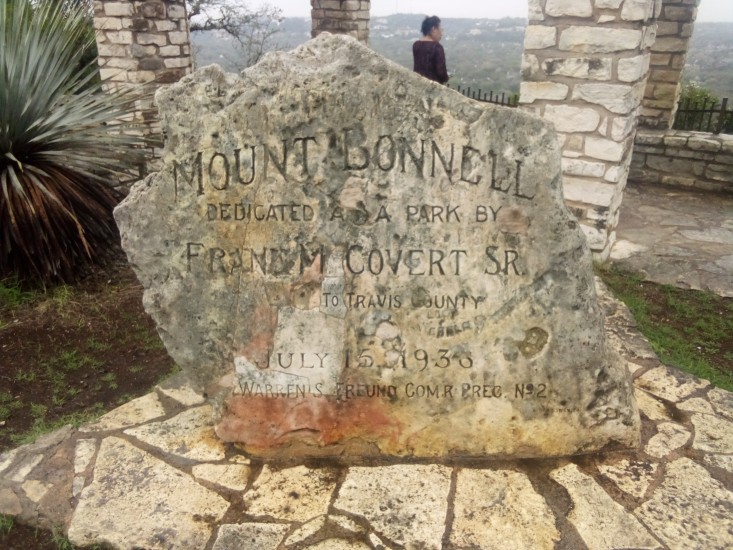
I decided to throw on my pack with 25 pounds in it and start a hike from 38th St and Guadalupe to Mount Bonnell (one of the highest points in the city with great views of Lake Austin). For those of you unfamiliar with Austin, this meant I was looking at about a six mile round trip. The first part of the journey was uneventful, just following 38th and 35th Streets past Lamar and MoPac and Camp Mabry. Here is the one-way route: http://www.gmap-pedometer.com/?r=7804394
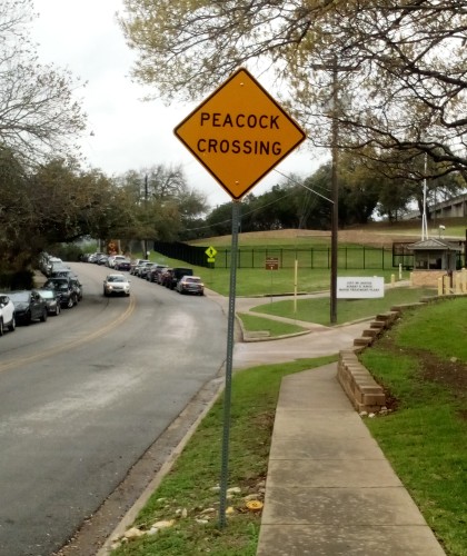
As I continued to approach my goal I saw an unexpected Peacock Crossing sign. Not seeing any peacocks in the road, I continued on. Then came the Balcones Escarpment. I needed to climb a steep vertical height over a short lateral distance and it kicked my ass. Those of you who are not from the Austin area may not understand what the Balcones Escarpment is. Luckily for you, they had a pictograph on the summit that describes it perfectly.
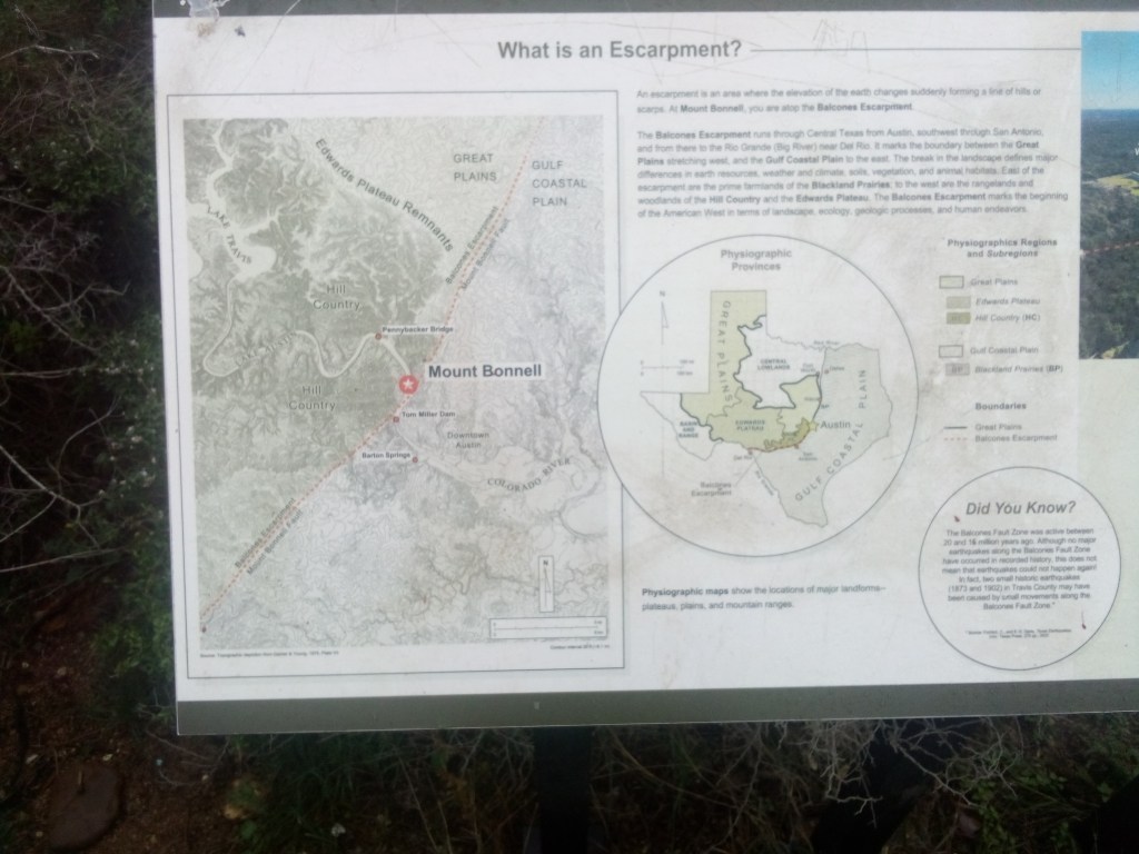
Unfortunately for you, I am a shitty photographer using a shitty camera on a shitty phone so you can’t really see what the above says. Allow me to type it out here.
An escarpment is an area where the elevation of the earth changes suddenly forming a line of hills or scarps. At Mount Bonnell, you are atop the Balcones Escarpment.
The Balcones Escarpment runs through Central Texas from Austin, southwest through San Antonio, and from there to the Rio Grande (Big River) near Del Rio. It marks the boundary between the Great Plains stretching west and the Gulf Coastal Plain to the east. The break in the landscape defines major differences in earth resources, weather and climate, soils, vegetation, and animal habitats. East of the escarpment are the prime farmlands of the Blackland Prairies; to the west are the rangelands and woodlands of the Hill Country and the Edwards Plateau. The Balcones Escarpment marks the beginning of the American West in terms of landscape, ecology, geologic processes, and human endeavors.
After hiking up the steep escarpment along a narrow two-lane road with no shoulder, I came upon the base of Mount Bonnell. From there it was a nice easy 100-plus stair step journey to Covert Park at the summit.
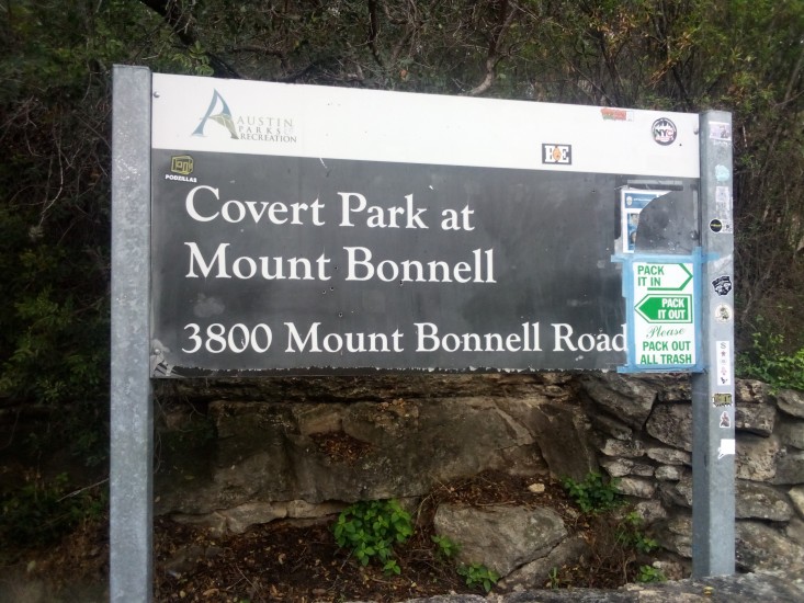
Covert Park is named for Frank M. Covert, who was the original owner of the tract of land containing Mount Bonnell. His family gifted the area to Travis County back in the 1930s. Frank Covert is famous for opening the first automobile dealership in Central Texas. The local area is still crowded with Covert locations such as Covert Cadillac and Covert Ford. Pretty much the only name you see on the side of more buildings around here is Moody.
The view of Lake Austin from the peak is awe inspiring and my photos do not do it justice. Because, once again, shitty photographer.
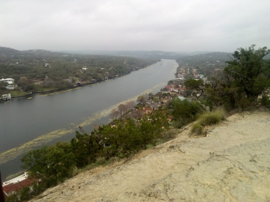
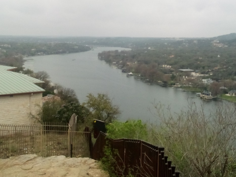
After catching my breath and eating a turkey sandwich and yogurt I had packed, I trundled back down the road home. Along the way I stopped at Mayfield House and Nature Preserve. The house itself is an 1870s cottage that I did not visit, but there were some nice short trails along the water’s edge that I did partake in. They were rather relaxing and enjoyable.
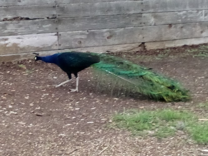
Just as I was getting ready to leave the area I figured out why that peacock crossing sign was along the road. I real bona fide peacock hanging out near the parking lot! Ultimately, I could not coax him into revealing his plumage for my camera but took some pictures anyway.
And after that encounter I hoofed it back home. But not before stopping at P. Terry’s for a large shake of the month, thereby undoing all the good work I had done on the day’s hike.
 Gene Hikes the Appalachian Trail