I threw on the backpack with 25 pounds in it and went for a round trip on Shoal Creek Trail. Shoal Creek Trail goes from water’s edge of Lady Bird Lake north to 38th Street. It runs roughly parallel to Lamar Blvd and is 3.75 miles each way, so a 7.5 mile round trip. I started from the 38th Street end, which is fairly close to a Spec’s liquor store. That Spec’s used to be a Randalls supermarket. I love HEB as much as any other Texan, but I also love Randalls and since this one and the one near Arboretum closed I can’t get my fix anywhere. Enough whining about retail stores though, let’s start the trail.
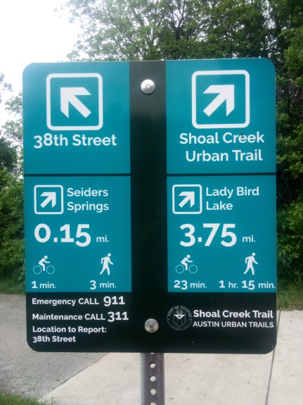
A short ways in (0.15 miles, give or take) I came upon Seiders Springs. The biggest features of that location are the Seiders Oaks. Below you will see a picture of one of them, just behind a sign reminding people not to have their dogs off leash. You see those signs everywhere on the trail. Or rather, I see them everywhere. Judging by the amount of dogs running around off leash that day I would assume all of these signs are invisible to dog owners.
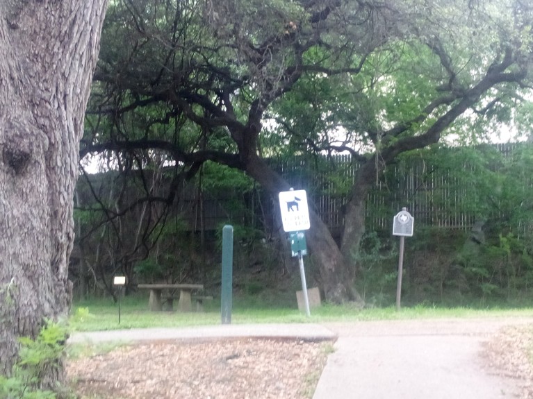
To the left of that dog sign is a green obelisk. These things are all over the trail as markers and tell you which way to continue to get to Lady Bird Lake. Except they all say “To Town Lake”. When Longhorn Dam was built on the Colorado River (not that Colorado River) in Austin, the lake it created was called Town Lake. In 2007 it was renamed to be Lady Bird Lake after the former first lady. Most native Austinites over 40 and/or people who moved here in the early 2000s still call it Town Lake and so do these obelisks.
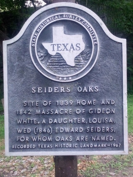
Back to Seiders Springs. It is named for Edward Seiders (pronounced “Cedars”) who moved to the area along with his friend Gideon White. He lived in the area and was a prominent businessman in the mid-1800s. It also happens to be the site of a particularly gruesome event in 1842. Gideon White was overtaken by Indians and killed on October 25. Later, White’s daughter would marry Edward Seiders.
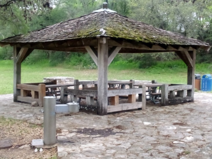
Moving south a short distance from there I found a rest area with benches and working water fountains. Can never have enough of either of those.
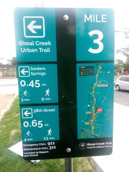
At Lamar & 31st Street was the only confusing part of the trail. While most of the trail is its own thing, just before this intersection it merges with the bike lane on Shoal Creek Blvd. The turn at Lamar to go south doesn’t have any signage; you just sort of need to know that is where you go to pick up the trail again.
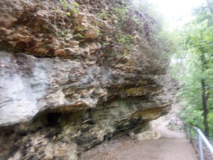
South of 31st Street I walked past some really interesting outcroppings of rocks. I am no geologist, so I can’t tell if it is Del Rio Claystone or Buda Limestone or something else. I felt like Indiana Jones while I walked past it, so that’s good for something and I wanted to share it.
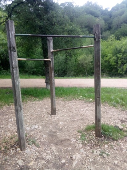
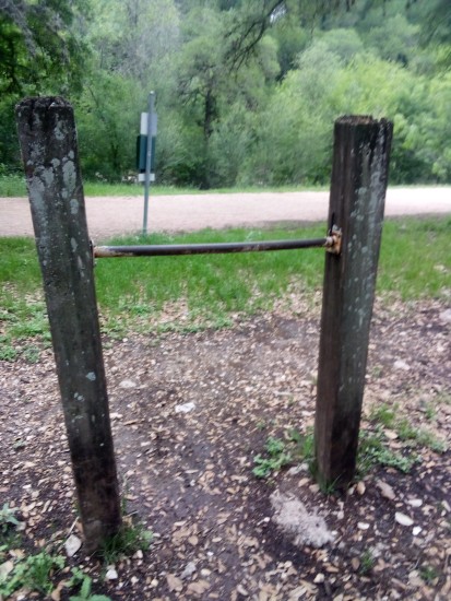
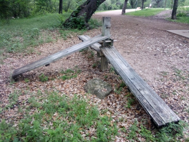
At 29th Street there is some wooden exercise equipment. A set of pull-up bars, a waist high bar, and some benches for sit-ups. I had to bang out a dozen or so pull-ups because I’m so manly. Therefore I can proudly say that everything is nice and sturdy even though it might look old and dangerous.
The next landmark on the trip southward was Pease Park. It is named so because the land was gifted to the city in 1875 by Elisah Pease, the fifth and thirteenth Governor of Texas. The interesting thing about his time in the Governor’s office is that his interregnum was only from 1857 to 1867. In that time there were seven different Governors. This was during the Civil War, so Texas was going through some shit. And going through Governors like shit through a goose.
In Pease Park there is a memorial to victims of AIDS (Acquired Immune Deficiency Syndrome) with symbolic red flags that line the trail. Those flags are left by the trail and then moved out to line the Mile of Silence for the Hill Country Ride for AIDS, which happens to be this weekend.
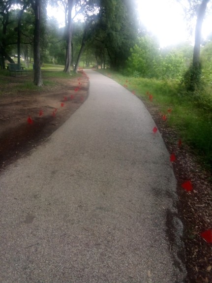
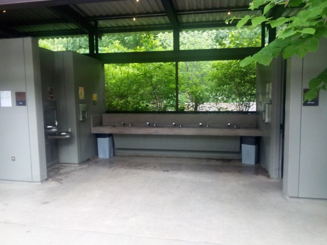
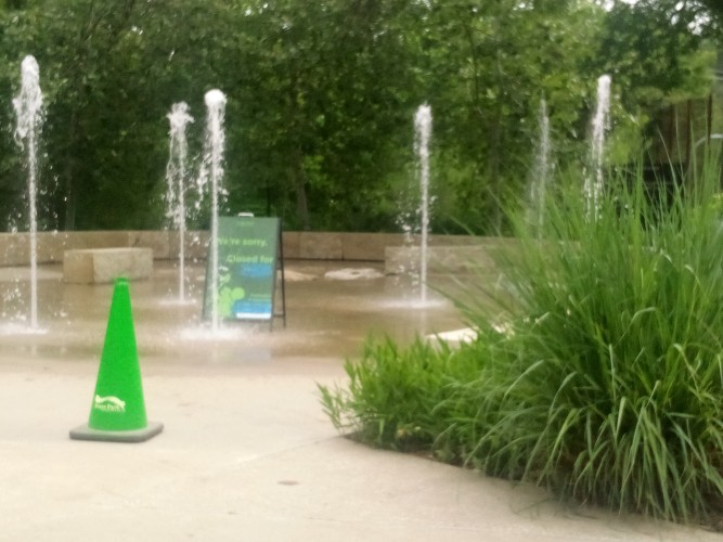
Anyway, Pease Park is everything you’d expect from a public park. Green, lots of stuff to do. Expansive, clean, working public toilets. And even more exercise equipment, metallic instead of wooden. Play areas for kids and water fountains shooting out of the ground. There is a cottage too and all sorts of stuff. Here is another gallery.
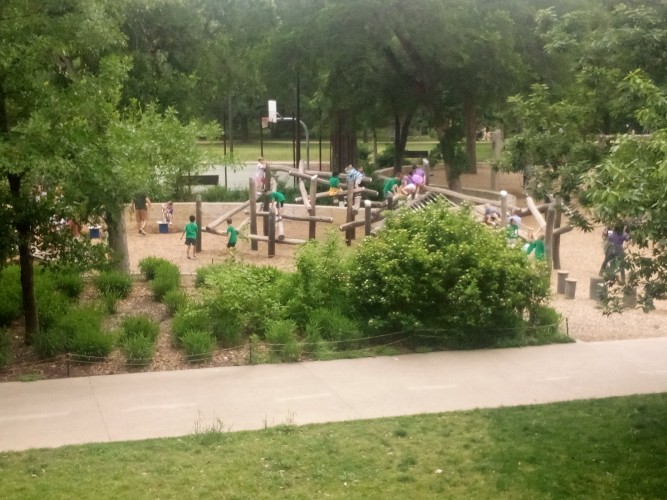
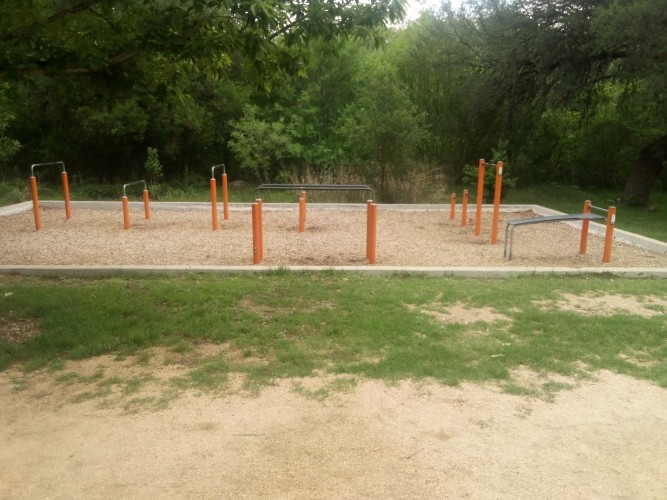
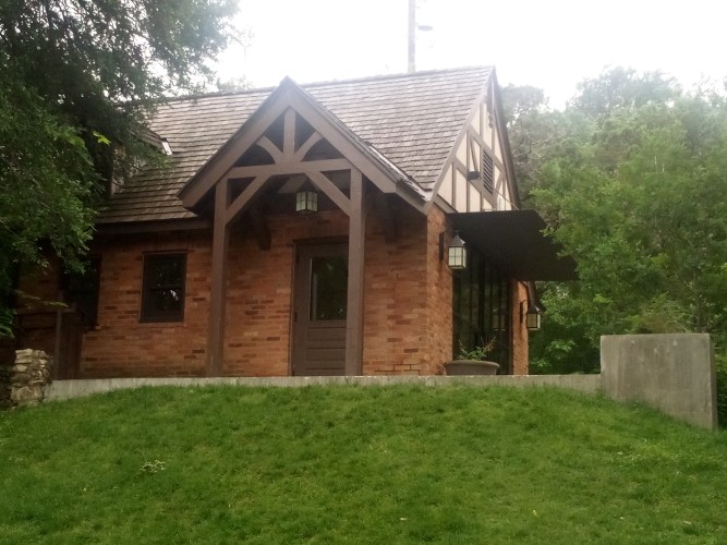
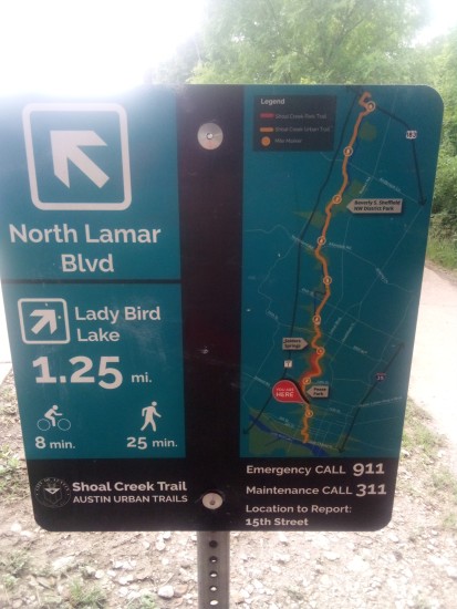
At this point I was only 1.25 miles from the lake.
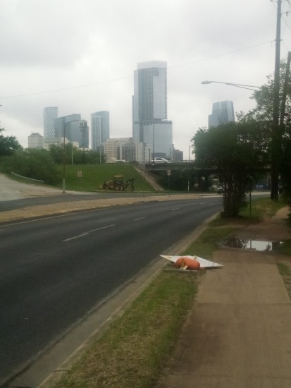
Close enough to get a good shot of the tall buildings downtown.
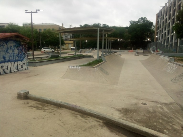
The next interesting things were a skate park and a football field at House Park Plaza. I saw a few people hanging out and working on moves at the skate park. However I decided not to capture them in my picture, so now I’m not sure if anyone will believe me.
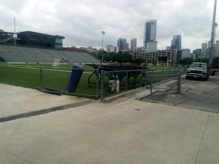
House Park is a shared football field that lots of teams in AISD (Austin Independent School District) use. The Austin Sol ultimate frisbee team also play there. I used to be pretty good at ultimate frisbee. By which I mean I could throw a forehand and a backhand and the occasional hammer.
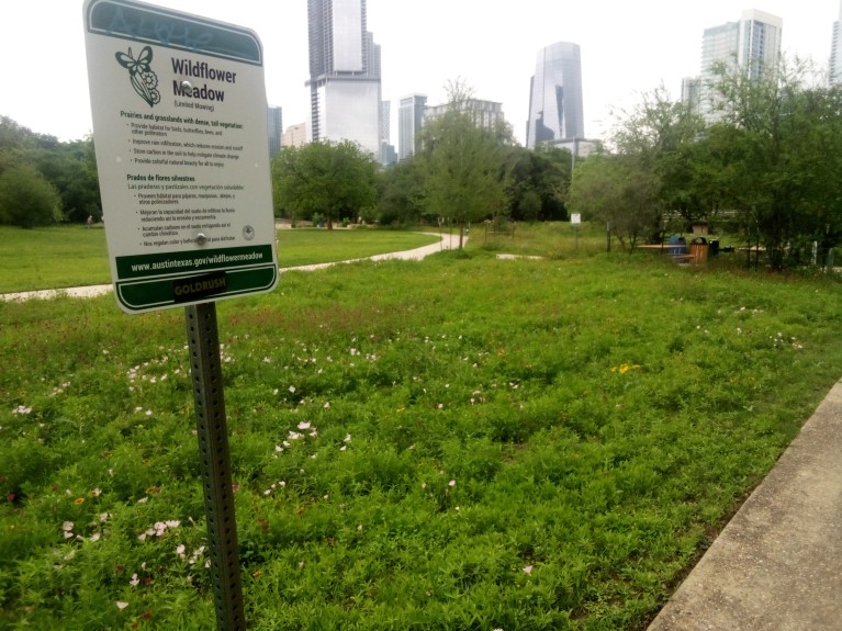
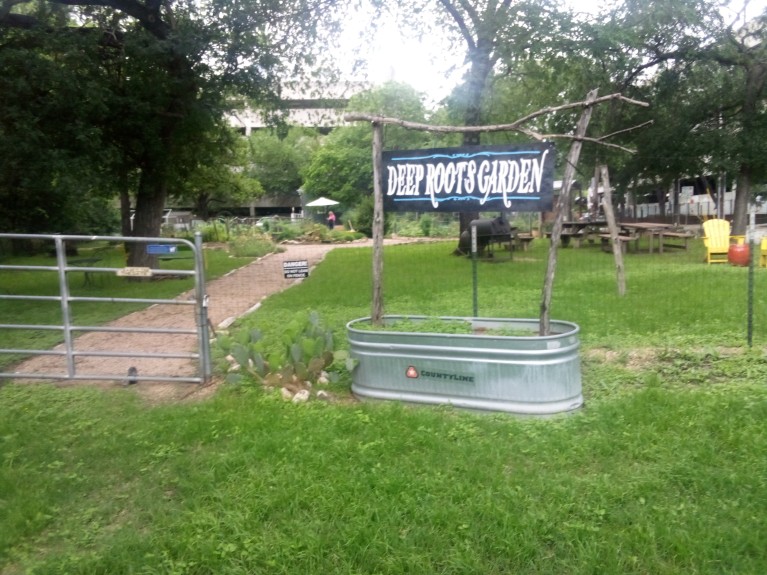
From there to the water’s edge was a fairly straightforward walk. Because the trail goes right through the center of downtown most of the final mile is just walking alongside buildings. I did pass by a neighborhood garden and a wildflower meadow.
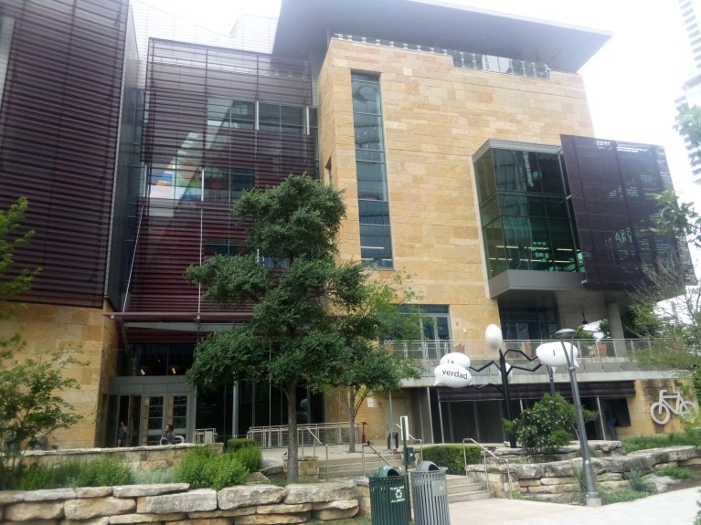
Right as you reach the end there is the Central Library. The building is still fairly new and shiny. I miss the old library which was about a mile from the edge of the water. I loved it because it was a boxy building that looked the way a library should. This new Central Library is a happening place where people go to vibe and hang out. I prefer a library where you go to check out books and avoid eye contact with one another.
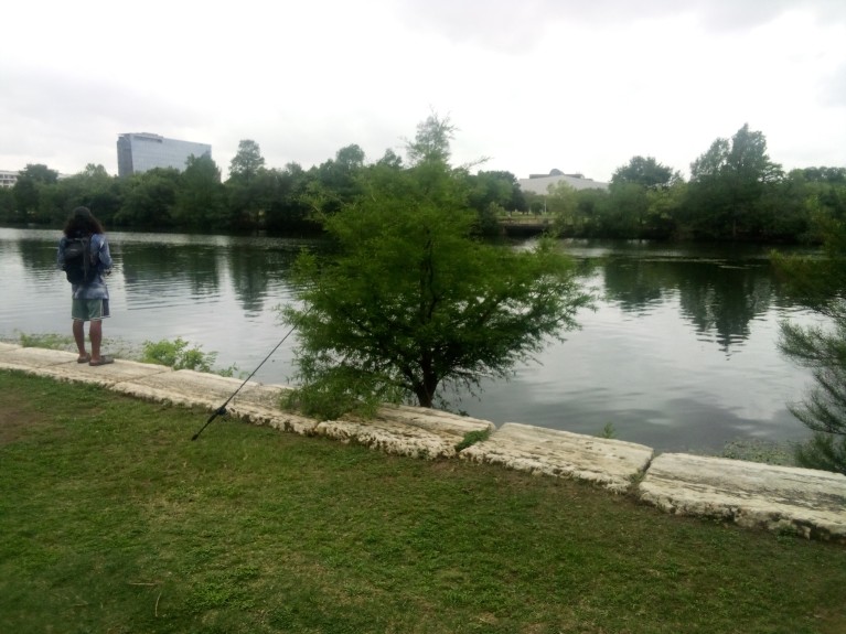
And from there only a few hundred feet to Lady Bird Lake. I don’t know if the person in my picture was able to catch any fish.
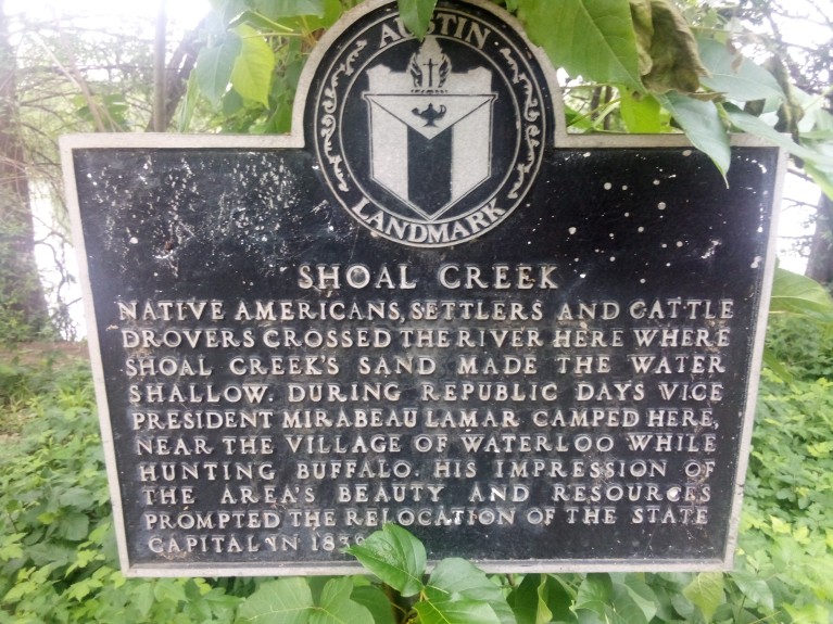
There is a plaque at the end, in case you can’t figure it out from the fact that there is a giant ass lake there.
The trip back to 38th Street was fairly uneventful. I admit that I was physically and mentally spent, and once I got back home I did nothing but watch baseball in the dark. I do want to call out that there is a sign at 31st Street going north that tells you exactly where to go, so the issue I mentioned earlier is exclusively a southbound problem.
I also wanted to call out the fact that there are quite a few underpasses along the Shoal Creek Trail. Only one of them actually has lights, and that was the one at West Sixth Street.
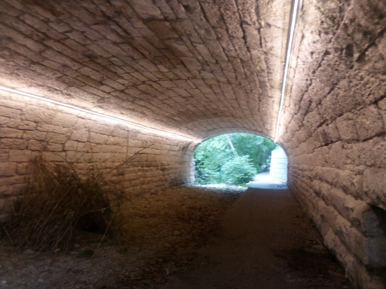
It is pretty easy to find yourself in a bad situation at night in a big city so I would think more underpasses should be lit. It shouldn’t cost that much, right? Unless all the data centers need that power so the AI in my toaster can cook my bagel to the exact right color.
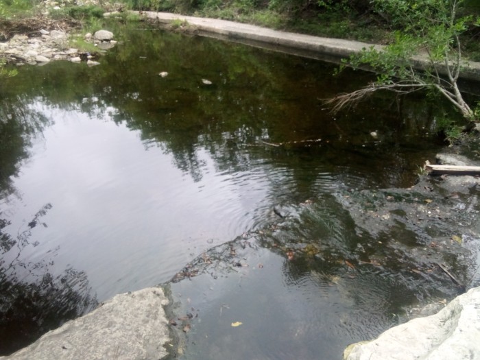
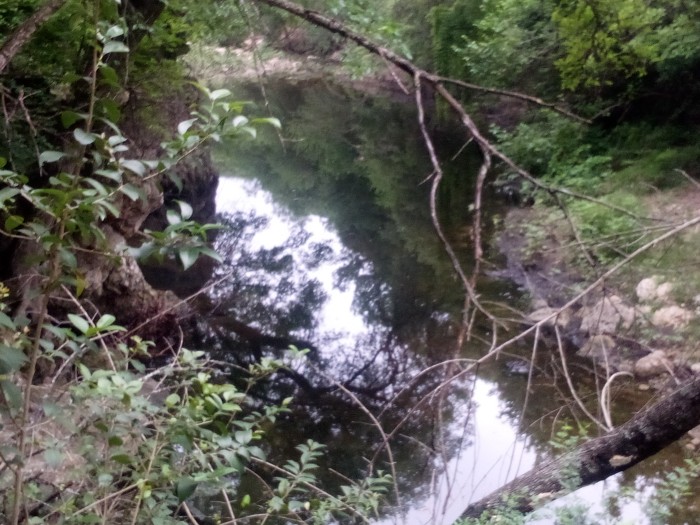
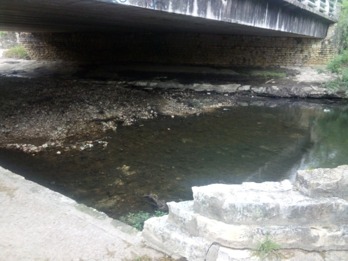
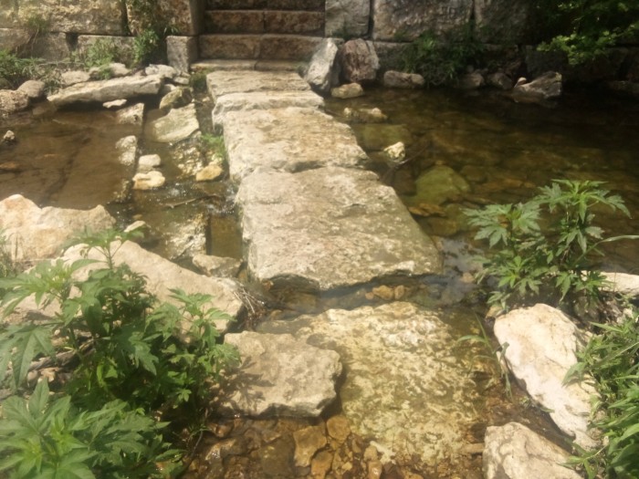
Here at the end I’m going to include various pictures I took during the trail that show the water level of the creek. I don’t know why, but most people I talk with are obsessed with what the water level of any body of water is at any particular time. If you are one of those people, then this last collage is for you. You’re welcome.
 Gene Hikes the Appalachian Trail
Leave a comment